Friday:
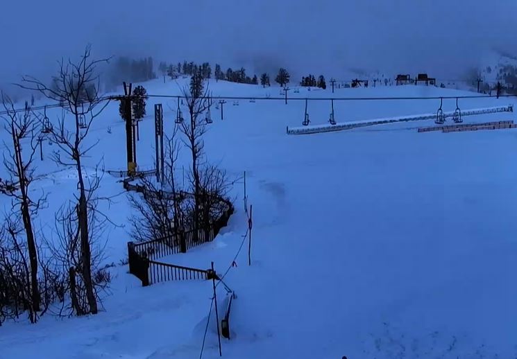
The gusty northeast winds are still going Friday morning. That could cause some upper mountain lift closures, at least in the morning. Then subsiding through the afternoon. Sunny skies with highs into the 40s for the lower elevations and 30s for the higher elevations.
Milder Weather:
The weekend will be sunny and milder as high pressure takes over into next week. Highs into the 50s for the lower elevations and 40s for the higher elevations through Wednesday, along with lighter winds.
Colder & Unsettled Pattern:
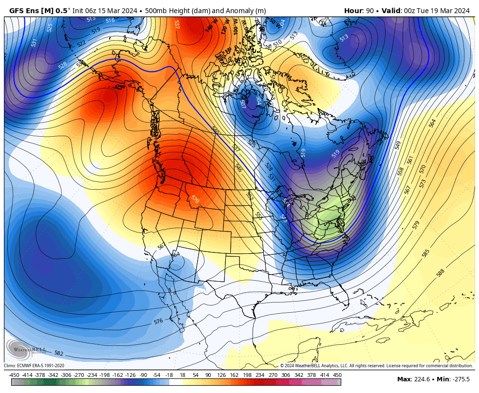
By Thursday the pattern is changing as high pressure builds up in the Gulf of Alaska driving some colder air south into the West, and opening the door to storms from the north and west into the weekend of the 23rd-24th.
The latest model runs show some weak systems possible as early as Wednesday night through Friday. They continue to show a wetter storm possible around the 23rd. Overall the ensemble mean models show increased precipitation chances through the 24th.
We’ll continue to watch the trends. Highs will drop into the 40s and 30s later next week and gusty winds are likely. I’ll start looking at potential snowfall details on Sun/Mon depending on when it looks like the first storm will come into the 5-day forecast window.
Long-Range:
The pattern begins to change again around the 25th with the ridge in the Gulf of Alaska possibly being replaced by a trough. That may bring the storm track across the North Pacific into the Pacific NW and northern CA from around the 25th – 29th. We’ll have to see if that holds.
The temperatures across the West are forecast to be below average through the last week of the month and the ensemble mean models continue to show near to slightly above-average precipitation from the 21st through the 29th.
We’ll continue to watch the trends to see if we can get a few final powder days in March…
BA


