Thursday – Monday:
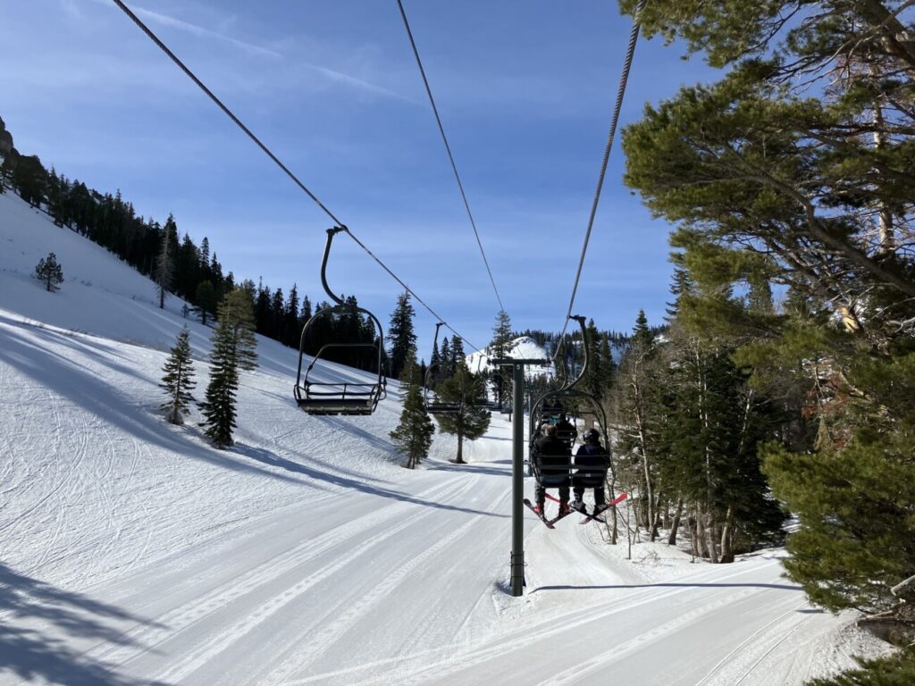
We should see mostly sunny skies during the day through the weekend. On Friday, a cold front will drop highs back into the 30s at the base and 20s up top, along with some gusty east winds. The colder temperatures continue into Saturday but warm slightly with lighter winds.
By Sunday into Monday, we should start to warm back into the 40s again for highs at the base and 30s up top with the dry pattern continuing.
Tuesday:
The latest forecast model runs suggest a chance for a very weak system could bring a few showers Tuesday. If we do see any they should be pretty light. Snow levels could also stay high above 8000 ft.
Long-Range:
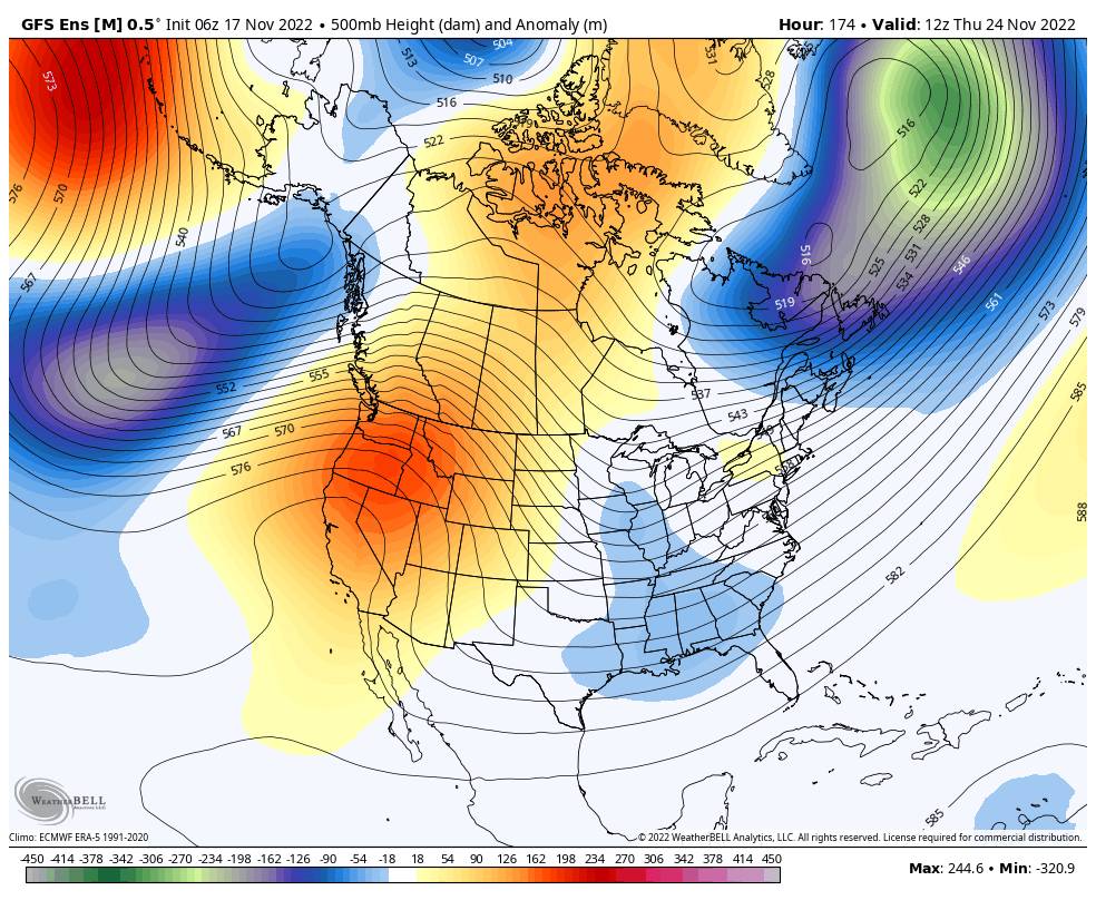
Next Wednesday through the end of Thanksgiving week should continue to be dry. Warming temperatures with highs into the 50s at the base and 40s up top by Thanksgiving Day.
Some long-range models suggest the pattern could shift starting around the 27th with a more active pattern possible the week of the 28th. We will continue to watch the trends and keep you posted…
I may shift to posting every other day or so until storms are back in the forecast.
BA


