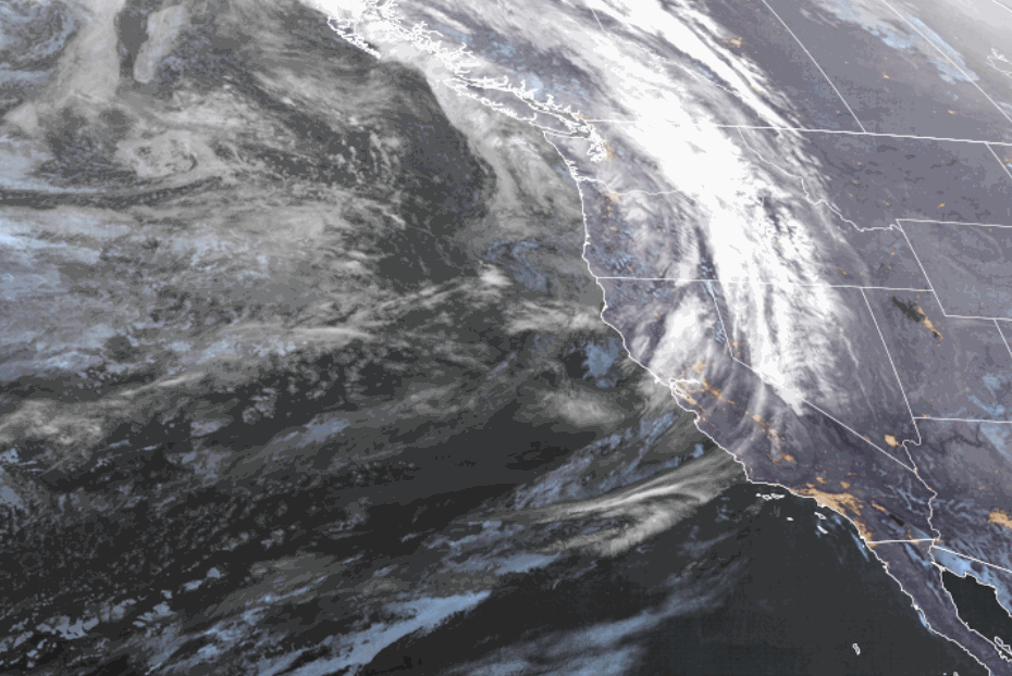
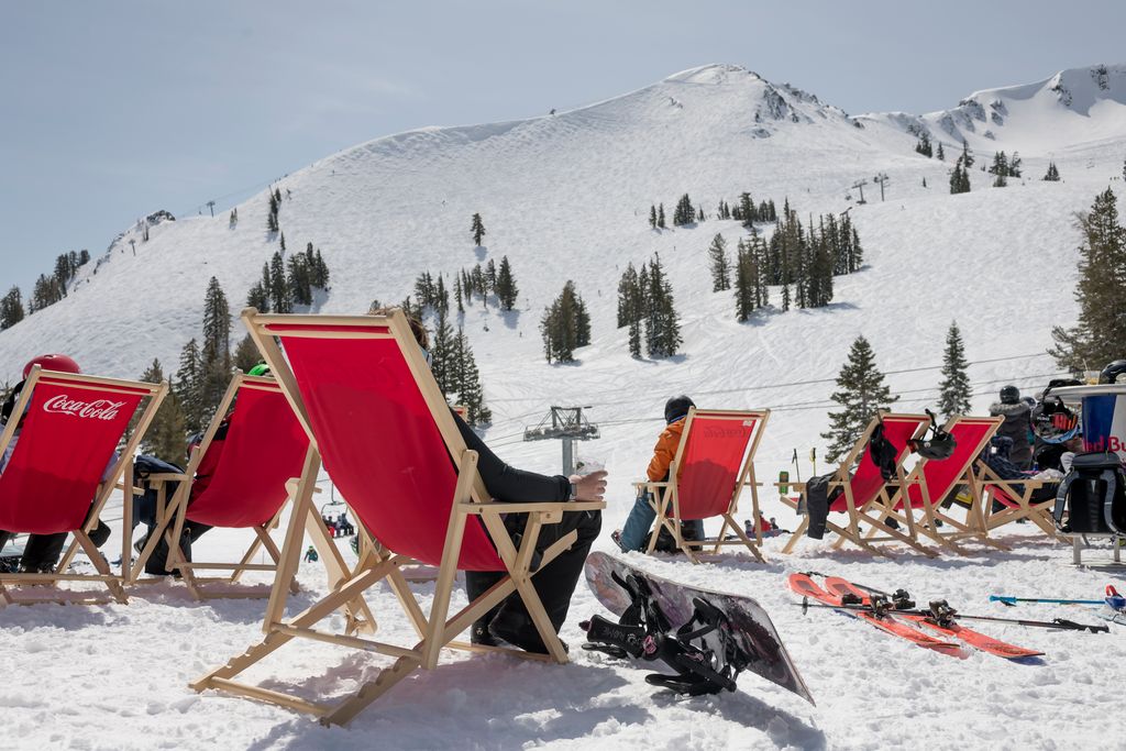
Skip to content
Palisades Tahoe Logo Palisades Tahoe Logo Palisades Tahoe Logo
Explore
Main Menu
  • Explore Palisades Tahoe
  • Base to Base Gondola
  • Our New Name
  • Explore Legendary Lifts
  • Palisades Tahoe Blog
  • About Lake Tahoe
  • About Us
Plan Your Visit
Main Menu
  • Tickets & Passes
  • Lodging
  • Lessons & Guides
  • Deals & Packages
  • Rentals & Demos
  • Travel Here
  • Getting Around
Mountain Information
Main Menu
  • Snow and Weather
  • Lift and Grooming Status
  • Webcams
  • Hours of Operation
  • Trail Maps
  • Parking & Road Conditions
  • Snowfall Tracker
Events & Activities
Main Menu
  • Events Calendar
  • Activities
  • Dining & Apres
  • Shopping
  • Things To Do In Lake Tahoe
  • Groups, Meetings & Weddings
  • Ski & Snowboard Teams
IKON PASS HOLDER LODGING DISCOUNT

Ikon Pass holders save up to 20% on slopeside lodging at The Village at Palisades Tahoe.

SLOPESIDE LODGING
Icon / FlashCreated with Sketch.
View All Offers
  • Weather

Nice thru Saturday, Snow Showers Sun-Wed

  • Mar 17, 2023
  • 8:39 am

Friday – Saturday:

Mostly sunny for both days along with lighter winds. Highs into the 30s up top and 40s for the base. Beautiful days for skiing.

Sunday – Monday Systems:

Snow showers are expected to move in Sunday morning and continue through Monday from weaker systems moving through. Highs into the 30s Sunday and dropping into the 20s on the upper mountain Monday. Ridgetop winds increasing from the southwest with gusts up to 40-50+ mph Sunday and 50-60+ mph Monday, which could affect a few upper mountain lifts.

The snow levels could be hovering near to just above the base Sunday with some rain mixing in. Then falling below the base Sunday night through Monday. We could see the snow showers end for a short time Monday night.

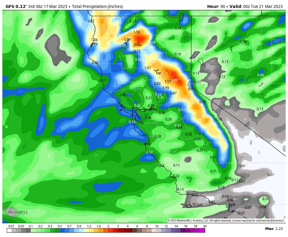
Here is the updated snowfall forecast for totals expected through Monday. Around 60% of the forecasted amounts could fall by early Monday morning.

  • 4-9 inches at the base.
  • 7-12 inches at mid-mountain elevations.
  • 9-14 inches up top.

Tuesday – Wednesday Storm:

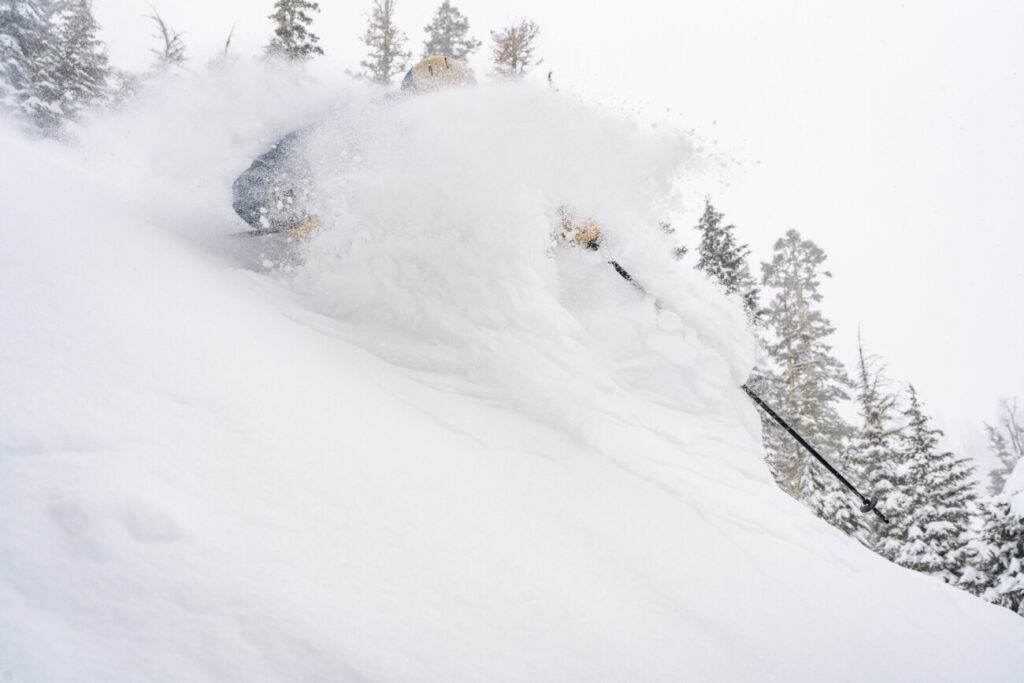
A stronger storm moves into southern CA Tuesday into Wednesday. The Tahoe basin will be on the northern edge. We could see a continuation of snow showers on both days, with lighter and more scattered showers for Wednesday. The winds will be lighter and turn to the south-southeast. Highs into the 20s up top and near freezing at the base.

With the southerly flow, the Tahoe basin typically gets shadowed from heavier precipitation, especially north of the lake. That is why we expect lighter amounts with this storm. Snow levels will be below the base and any snow that falls on the mountain should be fairly dry and fun to make some turns in.

Here is the initial forecast for snowfall totals expected from Tuesday through Wednesday night. Around 70% of the forecasted amounts could fall by early Wednesday morning.

  • 4-9 inches at the base.
  • 5-10 at mid-mountain elevations.
  • 6-11 inches up top.

Long-Range:

We could see a brief break Thursday with partly sunny skies and highs into the 30s. Then we are watching another storm that could bring several inches of snow Thursday night into Friday the 24th. We’ll continue to watch the trends on that storm as we get closer.

The storm door is forecast to remain open through the last week of March, but we are into the spring pattern and stronger storms will be harder to come by. The trough will slowly shift east with time so any storms may drop down from the north over land which is a drier track. So we could see a few weak systems during the last week of the month.

We’ll continue to watch the trends to make sure no bigger storms show up. The long-range models suggest nice weather for the 1st week of April. We’ll continue to watch the trends on that as well. We are hoping for a  nice weekend for the WinterWonderGrass Festival!

BA

lake tahoe weather palisades tahoe weather forecast snowfall forecast
Bryan Allegretto
Bryan Allegretto

Share this article:

Recent Posts

  • Weather ·
  • March 24, 2023·

Drier w/ Spotty Snow Showers thru Sunday

Snowfall Report: 3-5 inches of new snow fell on the mountain, from the base to the upper mountain, in the…
Read more
  • Weather ·
  • March 23, 2023·

Snow Thursday, Drier for the Weekend

Snowfall Report: An additional 2 inches of snow fell on the mountain in the past 24 hours as of 5…
Read more
  • Weather ·
  • March 22, 2023·

Scattered Snow Showers Continue

Snowfall Report: We were expecting 1-4 inches to fall Tuesday-Tuesday night. We picked up the lower end of the forecast…
Read more

Social

Instagram Twitter Facebook Youtube

Contact

   Email Us
   1.800.403.0206

Our Partners

U.S. Forest Service Logo
1960 Olympic Valley Road
Olympic Valley, CA 96146

©2022 Palisades Tahoe

Alterra Mountain Company
  • Privacy Policy
  • Terms of Service
  • Photo Upload Terms of Use
  • Accessibility
  • Do Not Sell My Personal Information
  • Privacy Policy
  • Terms of Service
  • Photo Upload Terms of Use
  • Accessibility
  • Do Not Sell My Personal Information