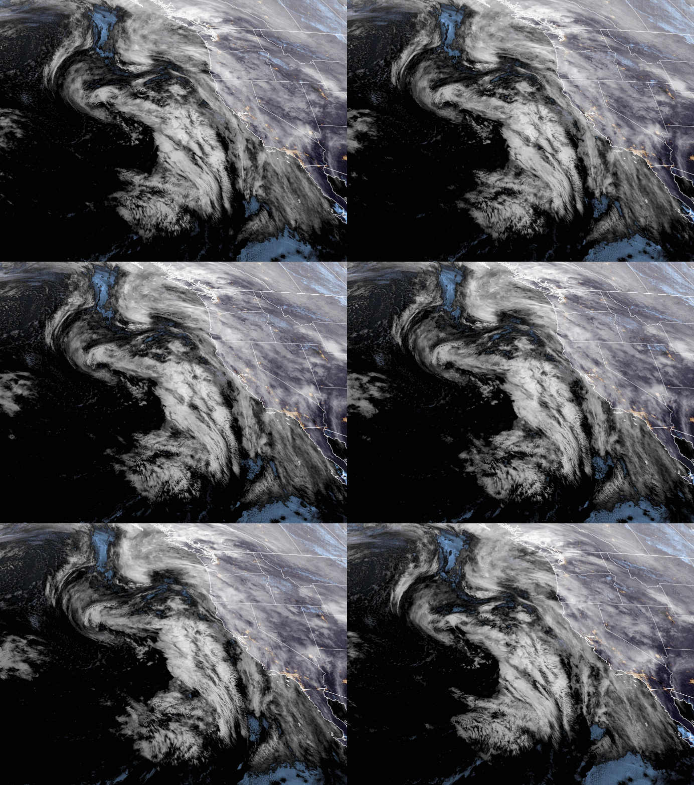
Friday – Saturday Weather:
Clouds are increasing Friday ahead of the next storm that will move in Friday night. Highs into the 40s. The latest model runs show precipitation reaching the Sierra Friday night between 10 PM – 1 AM, with lighter showers into Saturday morning. Then some steadier rain and snow are likely by Saturday afternoon into the evening.
Highs in the 30s on Saturday. We will start with southerly flow turning more southwesterly Saturday, with ridgetop winds gusting up to 60-70+ mph. That could affect some upper mountain lifts. The latest model runs now show the first system splitting more and have trended their precipitation forecasts down.
The snow levels look to drop to around 6000-6500 ft. later Friday night, and then hover between 6000-6700 ft. through Saturday evening, dropping to around 5300-5800 by early Sunday morning as most of the steadier precipitation from the first system is winding down.
With snow levels hovering near the base for most of the storm, we could see wet snow during heavier precipitation and some rain mixing in during lighter precipitation, making a forecast below 7000 ft. a pain. Above 7k’ on the upper mountain, we should see mostly snow with 3-8 inches of snow possible by early Sunday morning.
Sunday – Monday Precipitation:
The winds are forecast to be a bit lighter on Sunday with highs still in the 30s for the lower elevations, and 20s for the peaks. The latest model runs show a bit of a break Sunday into Sunday night with lighter as the moist onshore flow continues. The next system will push some heavier precipitation into CA later Sunday night into Monday.
This system is forecast to split as well, but it looks to have more moisture than the first system overall. The heaviest precipitation should fall on Monday and then diminishing Monday night and ending by Tuesday morning. The models have a wide range for total precipitation forecasts but overall have trended downward slightly.
Snow levels look a bit lower on the latest model runs for this period. They could hover in the 5500-6600 ft. range through Monday night. That means we could see wet snow at the base again during heavier precipitation and some rain possible during lighter showers, and another headache of a snowfall forecast.
For the upper mountain above 7000 ft., we should see mostly snow, with 8-15 inches of additional snowfall possible by early Tuesday morning. The good news is that over the 3-day period Saturday – Monday on the upper mountain, we could see up to 1-2 feet of snow in total.
Tuesday – Wednesday:
It looks like we should see a break in the storms with partly sunny skies. Highs in the 30s to near 40 degrees near lake level. A weak system could brush us with some light showers on Wednesday. We’ll continue to watch the trends on that system, but it looks like more of a nuisance with little precipitation.
Long-Range Forecast:
A couple of forecast models try to brush us on the southern edge of the next system moving through the Pacific NW next Friday. But most show high-pressure building in Thursday and bumping the storm track to the north through the last week of January.
We should see a mostly dry pattern and well below-average precipitation through at least the 31st. We will likely see partly-mostly sunny skies most days starting Thursday, with highs into the 40s.
February:
The ensemble mean models continue to hint at the pattern shifting back toward a pattern similar to this weekend’s pattern during the 1st week of February. We’ll continue to watch the trends…
BA


