Snowfall Report:
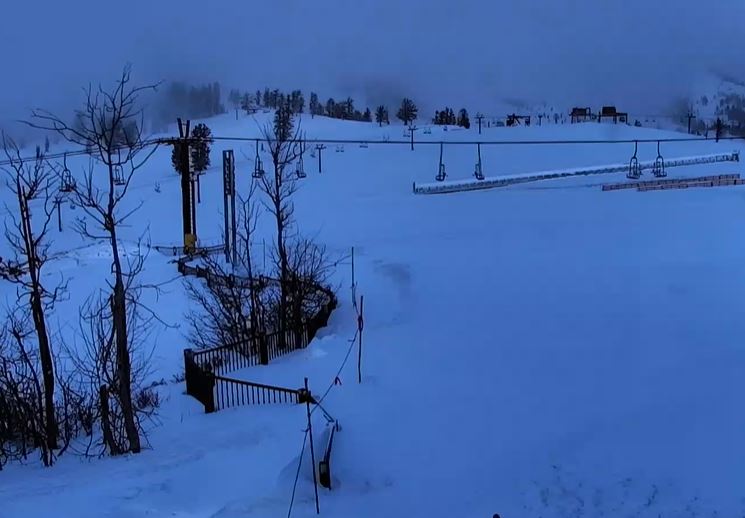
3 inches of new snow fell at the base Saturday night and 8 inches up top. That is about 2 inches more than expected up top!
Sunday Weather:
We are clearing out briefly Sunday morning and then increasing clouds through the afternoon as the next storm approaches the West Coast. We will have partly sunny skies. The ridgetop winds are still gusty early Sunday morning but are forecast to dip through late morning, and then increase through the afternoon, with gusts up to 50-60+ mph from the south-southwest by evening. Highs in the 30s to near 40 at the base.
Sunday Night – Wednesday Storm:
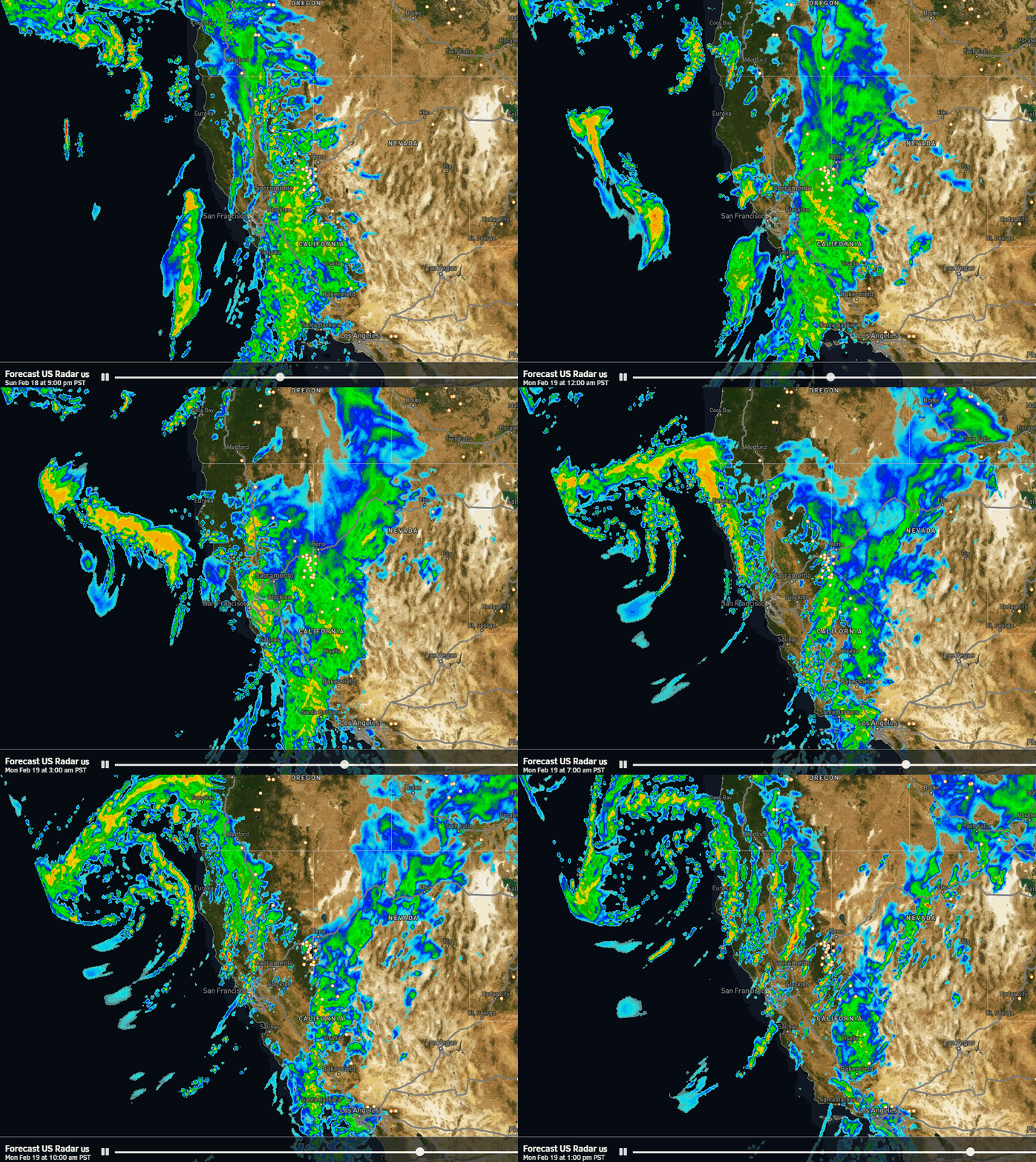
We could see a few showers reach the mountains by late afternoon but most of the steadier precipitation is expected to move in Sunday evening with heavy rain and snow into Monday. Initially the approaching low directs an AR toward the Sierra and then that drops south Monday and as the low-pressure system moves closer moisture will continue to flow into the Sierra.
Most of the heaviest precipitation is still expected to fall Sunday night and Monday. Snow levels start up around 7000-7500 ft. Sunday evening and then falling close to the base but fluctuating between 5500-6500 ft. with some rain possibly mixing in through Monday afternoon. Highs in the 30s for Monday with southwest winds gusting up to 70-80+ mph over the ridges, likely closing some lifts.
Then Monday night into Tuesday the flow of moisture into the northern Sierra is forecast to back off with maybe even a lull for Tuesday. Snow levels could dip as low as 5000 ft. Monday night before coming back up to around 6000-7000 ft. Tuesday. Highs are still in the 30s. The winds start to drop down for Tuesday.
We could see another surge of some steadier showers sometime Tuesday night into Wednesday, and then becoming more scattered and clearing out Wednesday night. Highs in the 30s with lighter winds Wednesday. Snow levels still fluctuating between 5000 – 6500 ft.
Total Snowfall:
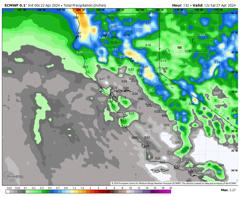
A range of precipitation forecasts between 1.6 – 4.0 inches over the 3-day period makes forecasting the snowfall tricky enough, but then throw in the snow levels fluctuating between 5000-7000 ft. throughout the storm, and the 6000 – 6500 ft. snowfall forecasts near the base become even trickier.
All I can do as usual is to use an average of the models and freezing level forecasts to try and predict average snow levels and snow ratios. Overall low snow ratios on the mountains, but a bit higher at night Monday night and Tuesday night with any showers. We could see totals by Thursday morning of around 11-17 near the base, 17-23 inches near mid-mountain, and 23-30 inches up top.
Most of this snow is expected to fall by Tuesday morning, so really a 36-hour storm, with a few-several inches possibly spread out over the following 36 hours through Wednesday. Tuesday should be the best day when winds come down, and fairly good Wednesday. But don’t expect blower pow.
Thursday – Friday:
We clear out for Thursday with mostly sunny skies expected for both days. Highs in the 30s on the mountain and 40s at the base.
Next Weekend:
We are still watching the trends with the cut-off low that will be spinning near the CA coast next weekend. Some models bring it close enough for a few snow showers over the mountains by Saturday afternoon, and others hold off until Sunday or miss us altogether.
We’ll expect partly sunny skies for now and will watch the trends this week to see if any accumulating snow will be possible.
Long-Range Forecast:
The long-range models still show a cold trough digging down the West Coast by the 26th with a colder storm possible. That storm could also help to draw the cut-off low inland if it is still stuck off the coast.
Beyond the 26th, the long-range models are now changing their tune and starting to disagree. They somewhat agree that the cold trough will be shorter lived and high pressure could build back in by the end of the month, which is a change, but then some models keep us dry while others try to re-open the storm door during the 1st week of March. We’ll continue to watch the trends.
BA

