Saturday Storm:
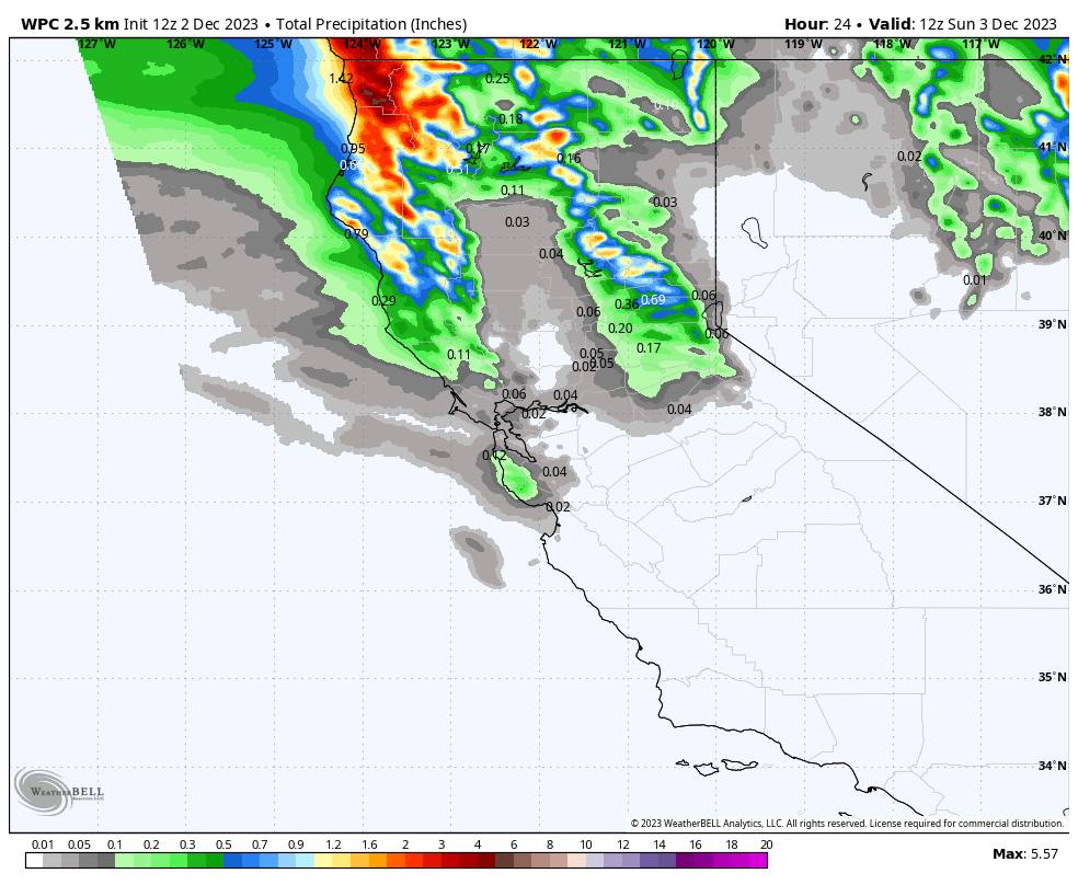
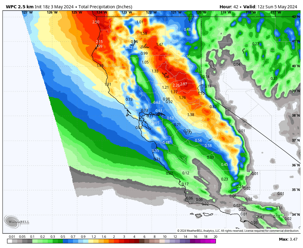
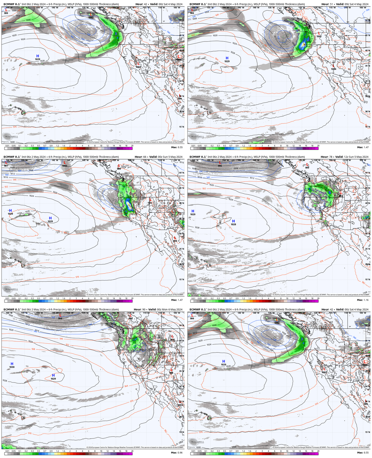
Four days ago I had a forecast for several inches of snow on the mountain from the Saturday-Saturday night storm. Two days ago the models had trended completely dry for the weekend. Friday they started to trend the moisture slightly farther south and I bumped the forecast up to 1-2 inches. Saturday morning they have adjusted the precipitation slightly farther south again.
We are still on the southern edge and the latest model runs show a sharp drop off of precipitation south of the Tahoe basin. The latest model runs are back up to 4 tenths of an inch of precipitation forecast on the wettest models near the mountain.
Snow levels are rising Saturday morning and look to sit around 6500-7000 ft. during light showers or mist through the afternoon, and could drop to 6000-6500 ft. (near the base) under steadier showers. The snow levels rise Saturday night as the storms to the north continue to push warmer air in. Snow levels could rise to 6800-7800 ft. by early Sunday morning.
That means we could see some rain mixing in near the base on Saturday and then up to mid-mountain elevations by Sunday morning. Then the moisture feed is forecast to shift to our north during the day on Sunday as snow levels continue to rise. We could see 1-4 inches of new snow on the mountain from bottom to top by Sunday morning as the storm moves out.
Sunday – Tuesday:
Sunday we should start to dry out but with some clouds around and maybe some sun by later in the day. Highs warming into the 40s.
Monday and Tuesday we expect mostly sunny skies and highs warming into the 40s for the mountains and 50s for the lower elevations near the base, as high pressure builds in over the West bringing us a drier and milder pattern.
Wednesday – Friday:
By Wednesday, we should start to transition back toward an unsettled pattern. We could have partly sunny skies with increasing clouds and winds. Ridgetop winds could be gusting up to 90-100+ mph by evening ahead of the next storm.
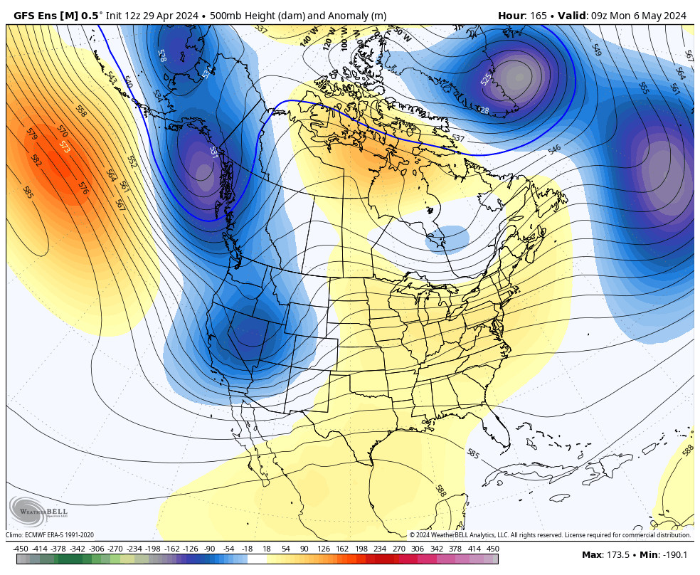
The latest model runs continue to show a trough digging into the West Coast for Thursday and Friday opening the door to a pair of storms spinning up into the base of the trough through the Pacific NW and northern CA. Once again northern CA looks to be on the southern edge of the storms, but they do look to dig far enough south to bring some snow to the mountain.
We’ll be watching the trends on these storms all week with more details as they become clearer. Right now, any snowfall looks to fall in inches.
Long-Range Forecast:
The long-range models continue to show high pressure building back in over the region pretty quickly next weekend into the week of the 11th bringing back a drier pattern to the region.
The long-range models continue to suggest that we could see a more active pattern by mid-month as they suggest that troughing sets up near the West Coast for a while. They have it in a better position for storms with the ridge up near the Aleutian Islands.
That pattern usually allows storms to dig farther south off of the West Coast picking up more moisture and moving into CA farther south with precipitation for more of the state. The ensemble mean models show increased chances for near to above-average precipitation from around the 13th to the 18th.
We’ll continue to watch the trends with the hope that something will finally happen by mid-month with some bigger storms before the holidays.
BA

