Friday thru Monday:
Strong high-pressure builds in over CA for Christmas weekend. Partly sunny Friday with some high clouds and increasing clouds Monday as the next storm approaches. In between, Saturday and Sunday, we should see mostly sunny skies, lighter winds, & milder temperatures.
Highs into the 40s Friday and then 50s at the base Saturday & Sunday with 40s up top. Overall a pretty nice weekend is expected for skiing and travel. Then back into the 40s for Monday with increasing winds as well. Ridgetop gusts from the southwest up to 70+ mph by afternoon which could affect some upper mountain lift operations.
Monday Night – Wednesday Storm:
Starting Monday night we could see 3-4 storms in 5-6 days through New Year’s weekend. We will fine-tune the details for each as they get closer. We will start off with a wet storm Monday night.
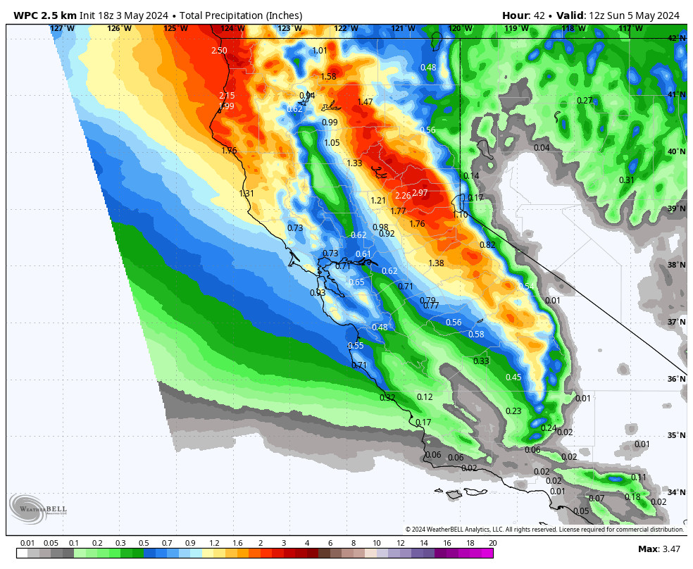
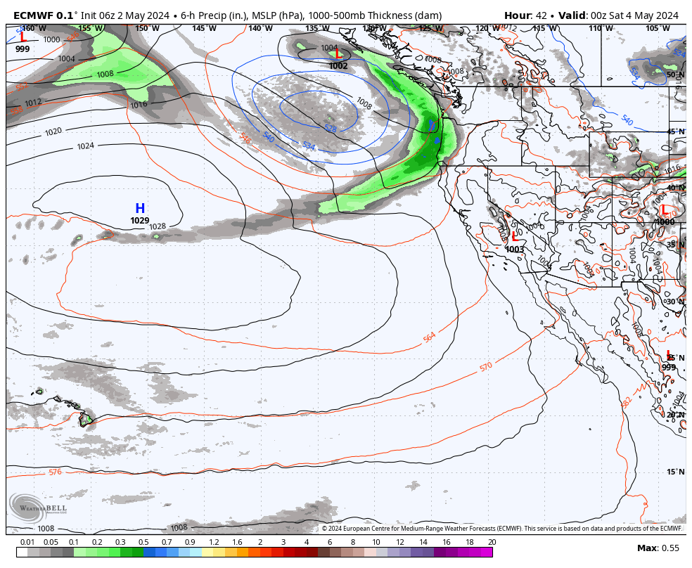
The first storm is expected to move in as early as late afternoon/evening Monday. This storm will be tapping into quite a bit of subtropical moisture. Snow level could initially start out between 8000-9000 ft. (very top of the mountain) but then rise into early Tuesday morning with all rain expected on the mountain, and it could be pretty heavy into Tuesday morning.
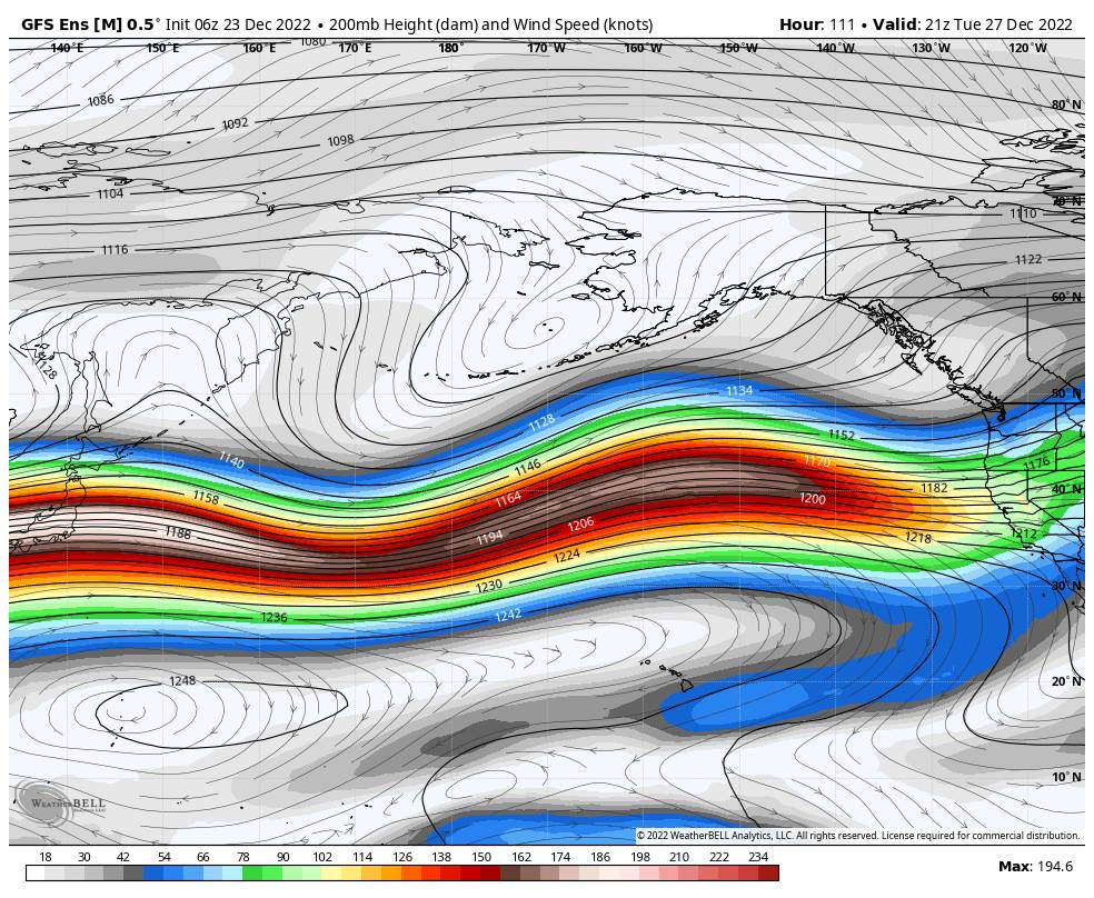
Tuesday the forecast for temperatures in the 30s and ridgetop winds to 100+ mph up top is the easier part of the forecast. Those winds should close down quite a few ski lifts. The harder part of the forecast will be how fast do the snow levels fall with the cold front during some of the heaviest precipitation with the storm during the day Tuesday.
We could see snow levels drop to around 8,000 ft, by midday and then down to around 6200 ft. by the end of the day. That is just above the base at Palisades and below the base on the Alpine Meadows side. Heavy wet snow will fall on the mountain as the rain turns to snow through the day from top to bottom, with several inches of snow possible.
Tuesday night into Wednesday snow levels fall below the base but with lighter snow showers expected. They could taper off by Wednesday morning or we could see some scattered showers linger through the day before the storm moves out completely. We could also see some breaks of sun by Wednesday afternoon. The winds come down through the day with highs in the 30s.
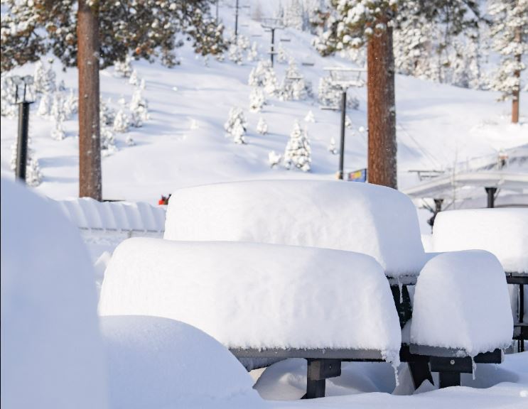
We could see total snowfall of 1-2 feet up top above 8000 ft. 6-12 inches between 7000-8000 ft. and 3-6 inches between the base and 7000 ft. by Wednesday afternoon. Wet snow on the bottom and maybe several inches of drier snow on top through Wednesday morning. The details could change with this storm as we get closer and we’ll continue to fine-tune them.
Long-Range:
The next storm could move in Thursday with additional systems possible for Friday and New Year’s Eve. Each storm could be quite wet and windy. We could see snow levels start higher with each storm and then fall with each cold front. Strong winds with each could affect lift operations throughout the week and into New Year’s weekend.
The storms look a little colder than the Tuesday storm, so the upper mountain may see mostly snow through the period and it could pile up to several feet by New Year’s Day. We will fine-tune the snow level and snowfall forecasts as each storm gets closer.
The active pattern could continue into the first week of January including a storm the night of the 1st. You’ll want to stay tuned to the forecast as we iron out the details on timing for each storm, especially if you plan to travel through the Sierra through the holiday period.
BA