The Weekend:
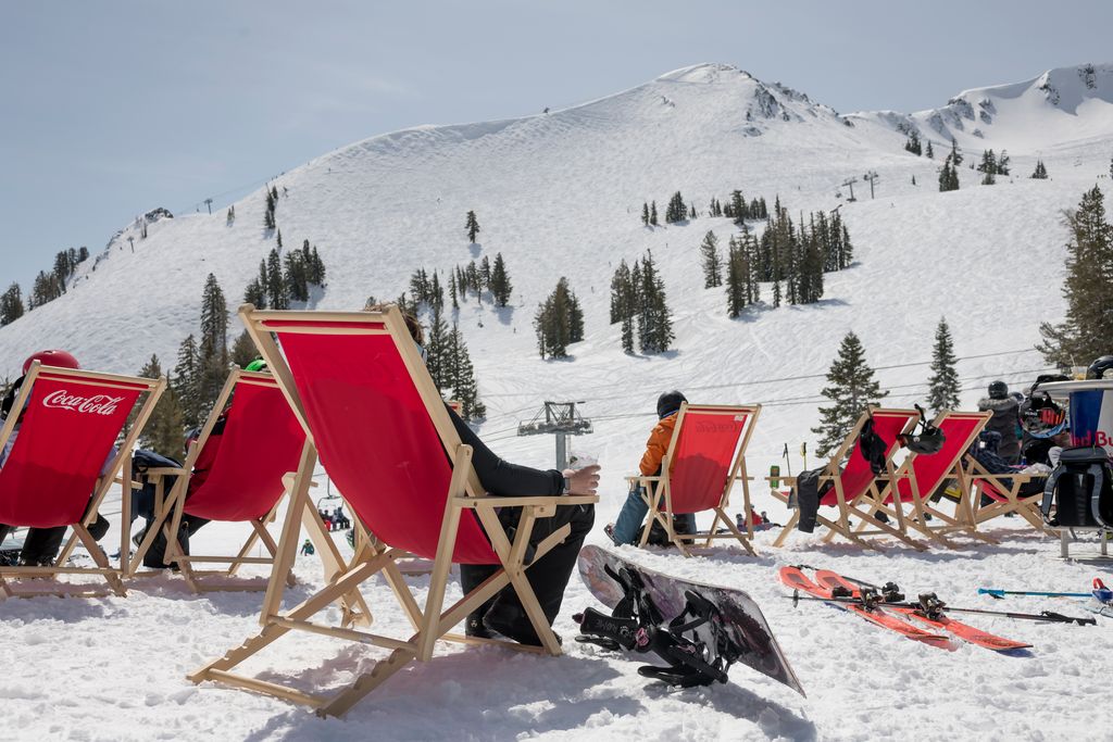
We start out cold Saturday morning with some inversions with teens at the base and 20s for the upper mountain. We will see mostly sunny skies through Monday with highs into the 40s as high pressure sits near the West Coast.
Tuesday Pattern Change:
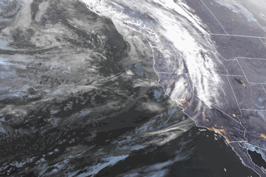
Tuesday will be a transition day. We could start with partly sunny skies and temperatures hitting 40 degrees at the base. But the winds will be ramping up from the west as a cold front approaches from the north. Ridgetop winds could be gusting up to 90-100+ mph by midday, which should close some upper mountain lifts.
Clouds increase through the morning and we could see snow showers break out by early afternoon on the north side of the lake, with snow showers spreading south through the evening. Snow levels could start near the base and fall through the evening. By Wednesday morning we could see 3-6 inches of new snow.
Tuesday – Thursday:
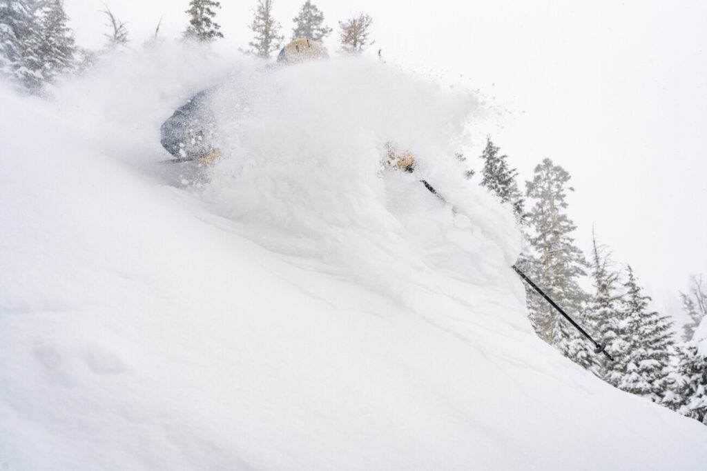
Snow showers continue through Thursday as low pressure slowly moves south through CA. It will stay very cold through Thursday with highs only in the teens on the upper mountain and 20s at the base, and single-digit lows. That will bring very powdery snow to help fluff the totals even though the moisture will be limited with this system.
We could see slightly more snow showers Thursday as the center of the low moves over the region. Here is my initial snowfall forecast for total snowfall Tuesday afternoon through Thursday night.
- 7-13 inches at the base.
- 10-15 inches at mid-mountain elevations.
- 12-18 inches up top.
Not a lot of snow for a 3-day period. We could see some peeks of the sun with clouds and scattered snow showers for much of the period. Cold with the winds coming down Wednesday and Thursday.
World Cup Weekend:
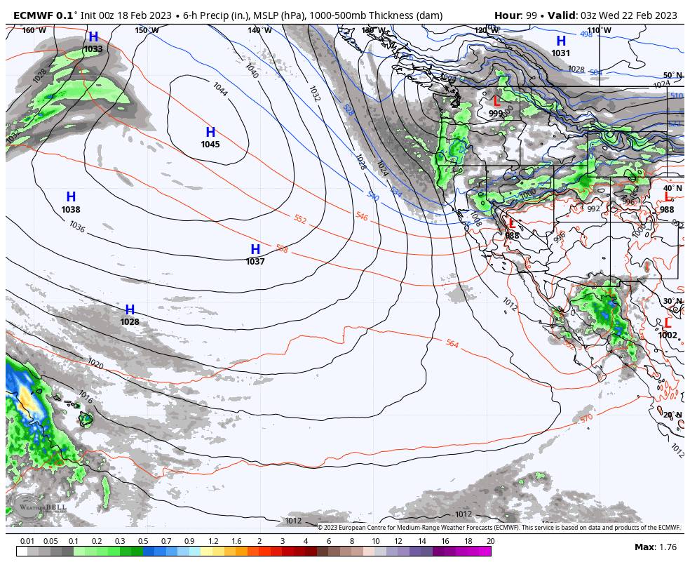
The latest model runs show the low and trough exiting to our east Friday, and high-pressure building near the West Coast by Saturday as the next cold trough slowly approaches from the north. We could see partly-mostly sunny skies Friday into next Saturday the 25th. Highs could warm into the 20s on the upper mountain and 30s at the base.
The Next Trough:
The next cold trough is forecast to dig into CA sometime Sunday the 26th into Monday the 27th. This time the trough is forecast to dig farther west off the coast for at least the first half of the week of the 27th. That could allow some wetter storms to spin up off the coast.
The question for next Sunday looks to be how fast does the trough dig in and will we see a storm drop into CA? Some models suggest a weak-moderate system moves in on Sunday the 26th while others keep us dry one more day. Either way, we could see the gusty winds pick back up Sunday ahead of any storms. We’ll continue to watch the trends.
Long Range:
The long-range models are showing a wetter storm spinning up off the coast by Monday the 27th with a strong storm possible into Tuesday the 28th. It’s too early to look at any specific storm forecasts out more than a week, but we’ll watch for a storm with the current pattern forecast.
We could see wetter storms through the week of the 27th if this pattern sets up. Maybe even an AR (atmospheric river) setting up at some point. The long-range models all show heavier precip chances Monday – Friday the 27th – 3rd. We’ll continue to watch the trends…
BA