Snowfall Report:
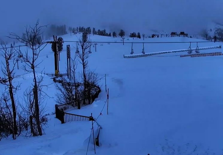
We saw 6 inches of new snow upper mountain Wednesday and 2 inches at the base. Then temperatures rose overnight as expected and the snow became wet. 5-day totals were 51 inches on the upper mountain and 22 inches at the base. The upper mountain has now received 306 inches so far this season, and a lot more is on the way this weekend!
Thursday:
The flow into northern CA is forecast to back west away from the coast Thursday and it turns more southerly. With the warm flow continuing into CA, we could see some sun and clouds with highs into the 40s at the base and 30s up top. Ridgetop winds gusting up to 40-50+ mph from the south-southwest.
MLK Weekend Storms:
We are expecting a cold and snowy weekend with snow falling almost continuously from late morning Friday through Monday night. Snow over varying intensity throughout the period. Ridgetop winds will be somewhat strong at times which could affect lifts through the weekend. Heavy snow could cause morning lift delays for avalanche controls & digging out.
Friday – Saturday Snow:
The next storm is forecast to move in by late morning Friday and continue into Friday night. Snow levels could start up around 7000 ft. and then fall to the base by evening. Ridgetop winds gusting up to 60-70+ mph from the southwest by afternoon, which could affect some upper mountain lifts. Highs in the 30s. We could see 4-9 inches of new snow by early Saturday morning.
Snow showers continue into Saturday morning and then a stronger storm moves in Saturday. We expect heavy snow Saturday into Saturday evening. Then snow showers continue Saturday night. Highs drop into the 20s on the upper mountain and near freezing at the base. Ridgetop winds gusting up to 60-70+ mph from the southwest which could affect some upper mountain lifts Saturday.
By early Sunday morning, we could see an additional 1-2 feet of new snow, and 2-day storm totals of:
- 13-19 inches at the base.
- 19-25 inches at mid-mountain elevations.
- 23-29 inches up top.
Sunday – Monday Snow:
The snow showers continue Sunday as moisture continues to flow into the Sierra. Highs in the 20s on the mountain. Ridgetop winds could come down some for Sunday with gusts possibly only up to 40-50+ mph up top from the west-southwest. If that does happen it could be the best day for skiing this weekend.
Then Sunday night into Monday the next storm moves in with another round of heavier snow, with snow showers continuing into Monday night. Then they taper off by Tuesday morning. We could see 8-16 inches of new snow by early Monday morning. Then for Monday, it’s still cold with ridgetop winds from the southwest possibly increasing to 50-60+ mph.
By early Tuesday morning, we could see an additional 6-18 inches of new snow, and 2-day storm totals of:
- 14-21 inches at the base.
- 18-24 inches at mid-mountain elevations.
- 22-28 inches up top.
That would be 4-day weekend totals of around 2-4+ feet from bottom to top on the mountain!
Long-Range:
We could see a break in the storms for Tuesday the 17th with partly sunny skies and cold temperatures. Then a final storm in the series is possible for Wednesday the 18th. We will fine-tune the forecast for that storm as we get closer.
Then a drier pattern is still forecast to kick in starting on the 19th and through the last week of January. We may see a colder pattern with time and then some colder systems possibly from the north.
We’ll be watching the long-range forecast trends closely to see how long the drier period could last.
BA