Skip to content
Palisades Tahoe Logo Palisades Tahoe Logo Palisades Tahoe Logo
Explore
Main Menu
  • Explore Palisades Tahoe
  • Base to Base Gondola
  • Our New Name
  • Explore Legendary Lifts
  • Palisades Tahoe Blog
  • About Lake Tahoe
  • About Us
Plan Your Visit
Main Menu
  • Tickets & Passes
  • Lodging
  • Lessons & Guides
  • Deals & Packages
  • Rentals & Demos
  • Travel Here
  • Getting Around
Mountain Information
Main Menu
  • Snow and Weather
  • Lift and Grooming Status
  • Webcams
  • Hours of Operation
  • Trail Maps
  • Parking & Road Conditions
  • Snowfall Tracker
Events & Activities
Main Menu
  • Events Calendar
  • Activities
  • Dining & Apres
  • Shopping
  • Things To Do In Lake Tahoe
  • Groups, Meetings & Weddings
  • Ski & Snowboard Teams
IKON PASS HOLDER LODGING DISCOUNT

Ikon Pass holders save up to 20% on slopeside lodging at The Village at Palisades Tahoe.

SLOPESIDE LODGING
Icon / FlashCreated with Sketch.
View All Offers
  • Weather

Mild Thru Wednesday, Cold With Snow Thursday

  • Feb 27, 2022
  • 7:47 am

Sunday – Wednesday:

We are in a dry pattern through Wednesday. Mostly sunny with highs into the 40s Sunday and then 50s Monday – Tuesday on the lower mountain and 40s up top. Lighter winds through Monday. Winds up top gusting up to 40+ mph from the southwest by Tuesday afternoon.

Wednesday we could see sun and some clouds with increasing winds from the southwest. Ridgetop gusts could increase to 70+ mph up top by afternoon. That could affect some upper mountain lifts. Highs still into the 50s at the base and 40s up top.

Thursday Storm:

The latest forecast model runs show a storm digging into the northern Sierra during the early morning hours Thursday. Snow could start between 1-7 AM and continue through the day on Thursday. Then snow showers could linger into Thursday evening before we clear out later Thursday night.

Snow levels could start out around 8000 ft. Then falling close to the base Thursday morning and then even lower by Thursday evening. Highs dropping into the 30s. Ridgetop winds could still be gusting up to 60+ mph from the southwest up top.

The latest model runs suggest enough moisture for 1-3″ of snow at the base and 3-5″ on the upper mountain by Thursday evening. We’ll continue to fine-tune the forecast as we get closer.

Long-Range:

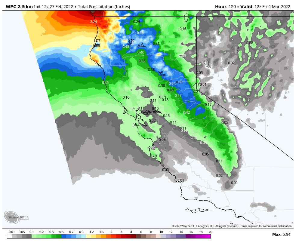
The trough stays over the West through next weekend and into the week of the 7th. That should keep the colder air in place. Additional weak systems could move through the region. The next cold/weak system is possible by Friday night into Saturday, with another possible for next Sunday. We’ll continue to give more details as they get closer.

We could stay into a cold and semi-active pattern into the 2nd week of March with weak systems continuing. Nothing big showing up still, but we’ll continue to watch the trends as we get closer.

BA

lake tahoe weather palisades tahoe weather forecast snowfall forecast
Bryan Allegretto
Bryan Allegretto

Share this article:

Recent Posts

  • Weather ·
  • March 29, 2023·

Partly Sunny Wed-Sun w/ Snow Showers Possible

Snowfall Reports: 12 inches of new snow fell on the mountain in the past 24 hours as of 5 AM…
Read more
  • Weather ·
  • March 28, 2023·

Snow & Strong Winds Tuesday

Tuesday  – Wednesday Storm: Snow showers are pushing in Tuesday morning, with heavier snow expected later in the morning into…
Read more
  • Weather ·
  • March 27, 2023·

Snowstorm Tuesday, Snow Showers Wed-Sun

Monday: Monday will start out sunny with highs in the 30s at the base and 20s up top. Some high…
Read more

Social

Instagram Twitter Facebook Youtube

Contact

   Email Us
   1.800.403.0206

Our Partners

U.S. Forest Service Logo
1960 Olympic Valley Road
Olympic Valley, CA 96146

©2022 Palisades Tahoe

Alterra Mountain Company
  • Privacy Policy
  • Terms of Service
  • Photo Upload Terms of Use
  • Accessibility
  • Do Not Sell My Personal Information
  • Privacy Policy
  • Terms of Service
  • Photo Upload Terms of Use
  • Accessibility
  • Do Not Sell My Personal Information