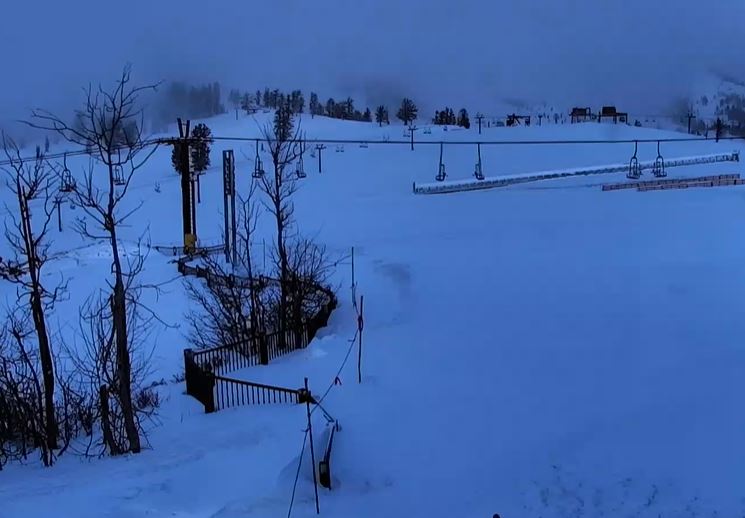
Friday’s Weak System:
The next storm is moving in Friday morning. We are expecting light snow through the morning with a steadier period possible as the cold front moves through. Then scattered snow showers for the afternoon that could linger into the evening before clearing overnight.
We could start with snow levels just above the base initially and then falling below to the base during the morning. Ridgetop winds gusting from the southwest up to 70+ mph in the morning possibly closing some upper mountain lifts, and then dropping through the afternoon. Highs in the 30s at the base and 20s up top.
We could see 1-3 inches at the base after a change to snow, and 2-4 inches of new snow on the mountain by Friday evening.
The Weekend:
We are expecting beautiful weather this weekend. It starts chilly behind the cold front Saturday. But sunny skies and light winds are expected but Saturday and Sunday. Highs in the 30s both days and approaching 40 degrees at the base Sunday.
Long-Range:
The long-range forecast models continue to show a drier pattern possibly lasting through mid-month, or even longer. For most of next week expect mostly sunny skies. Maybe a few clouds Monday and Thursday. Highs in the 40s at the base and 30s up top.
We could see the pattern start to shift again during the 3rd week of January. That could lead to weaker systems possibly later in the month. We’ll let you know when we see signs of storms returning.
BA