

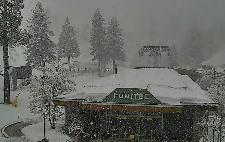
Snowfall Reports:
Rain at the base the past 24 hours through 5 AM & 5 inches reported on the upper mountain above 8000 ft. The rain was turning to snow on the lower mountain when the measurements were being taken early Saturday morning.
New Year’s Eve Storm:
Surprise! The snow levels reached 7000 ft. around 5 AM and dropped to the base around 6 AM. About 12 hours faster than the models were showing the last few days. Temperatures have been falling since midnight with the 32-degree freezing levels around 7500 ft. as of 7 AM, with snow levels running up to 1500 ft. below the freezing levels.
The wind forecasts have also come down on the latest model runs. Ridgetop gusts are only up to 50+ mph early Saturday and the forecasts now have them peaking around 60+ mph Saturday morning before falling through the afternoon. That is more good news. But the rain took a toll on the mountain so there may be some slow opening of areas.
The heavy snow continues Saturday into Saturday evening, and then becomes lighter and more showery overnight and ends Sunday morning. Highs in the 30s and dropping into the 20s up top Saturday and continuing to fall into Saturday night. That means the snow becomes drier on the mountain into Saturday night.
The snowfall forecast will be dramatically higher for the base and lower mountain with the early change to snow. By Sunday morning we could see new snowfall amounts of:
- 18-24 inches at the base.
- 23-30 inches at the mid-mountain elevations.
- 28-35 inches up top.
Of note is that the forecast on our conditions page is for mid-mountain and has not caught onto the faster drop in snow levels which is why it is lower with the snowfall forecasts.
New Year’s Day:
We have a break between storms for Sunday (New Year’s Day). We should see mostly sunny skies by afternoon along with lighter northeast winds. Highs into the 30s at the base and 20s up top.
Monday Storm:
The next storm is expected to move in Monday afternoon into Monday night. It will be a colder and weaker system. Highs in the 30s at the base and 20s up top. Ridgetop winds gusting up to 40-50+ mph by afternoon. By Tuesday morning we could see new snowfall amounts of:
- 2-5 inches at the base.
- 3-6 inches on the mountain.
Tuesday:
A break for Tuesday with lighter winds, partly sunny skies, and highs into the 20s & 30s.
Wednesday – Thursday Storm:
Another strong storm moves in by Wednesday afternoon. Expecting increasing clouds and winds Wednesday morning, with ridgetop gusts up to 80-90+ mph from the southwest by afternoon. That could close some upper mountain lifts.
Heavy snow is expected Wednesday afternoon through Thursday. The winds should not be as strong but still gusty Thursday. The snow should wind down Thursday night and end by early Friday morning. Snow levels could peak near to just above the base Wednesday evening, and then snow levels fall through Thursday.
I’m going to assume that we see a little rain mix in at the base Wednesday afternoon/evening in my snowfall forecast. But we could stay all snow. Here is the initial snowfall forecast for this storm:
- 14-21 inches at the base.
- 21-30 inches at the mid-mountain elevations.
- 30-37 inches up top.
Long-Range:
Storms could continue into the weekend of the 7th-8th, and possibly into the week of the 9th. Some forecast models start to bring in a drier pattern during the week of the 9th.
We’ll keep you updated on the latest trends as we get closer…
BA
