Thursday – Friday Weather:
Thursday is the last day of spring weather as we start the transition back to winter on Friday.
Mostly sunny on Thursday with increasing winds and clouds on Friday. Highs into the 50s for the lower elevations and 40s for the upper elevations on Thursday, and a few degrees colder on Friday. Ridgetop winds from the southwest gusting up to 60-70+ mph by Friday afternoon, likely affecting upper mountain lift operations.
Friday Night – Saturday Night Storm:
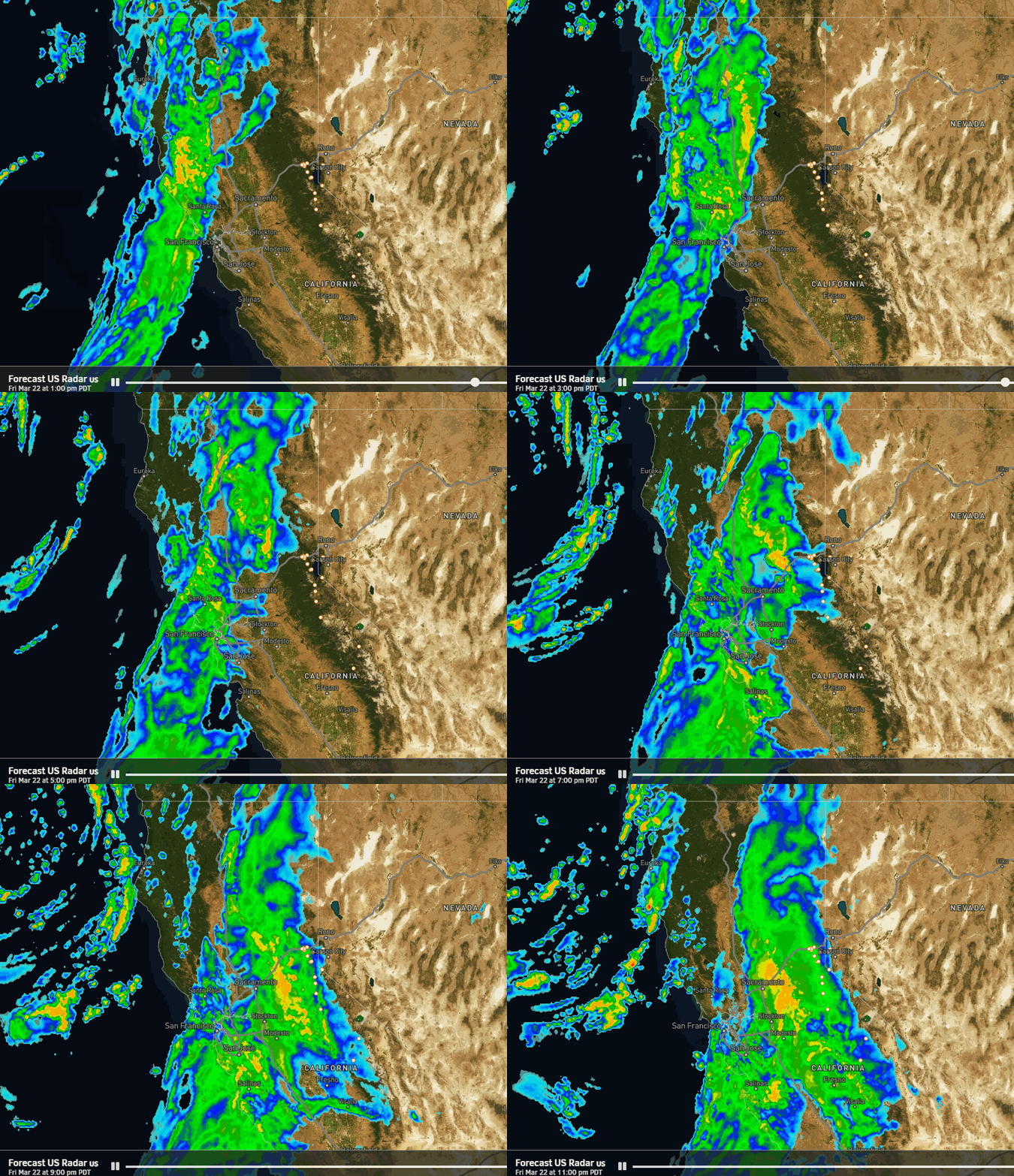
A few rain showers could reach the mountain Friday afternoon, with the heavier precipitation expected with the cold front Friday evening into early Saturday morning. Snow levels start high, up around 7500-8000 ft. Friday afternoon and dropping to around 7000-7500 ft. by Friday evening. Then quickly dropping to the base by midnight or earlier.
That means rain to start for the lower elevations and then heavy snow into early Saturday morning. Saturday morning we could see a bit of a break in the steadier snow as the cold front clears the area. Then increasing snow showers Saturday afternoon into Saturday night as the center of the low near the coast moves inland.
Highs in the 30s for the lower elevations and 20s for the higher elevations. Ridgetop winds gusting up to 50-60+ mph on Saturday. Snow ratios start low and increase to around 13-17:1 up on the mountain by Saturday night. For the heaviest part of the storm, they may average around 10-14:1 Friday night into Saturday.
By Sunday morning we could see snowfall totals of around 7-12 inches at the base, 13-18 inches near mid-mountain, and 16-22 inches up top. Still expecting around 2/3rds of the snowfall by Saturday morning.
Sunday – Tuesday Weather:
The winds come down on Sunday and scattered snow showers are possible, especially in the morning. Partly sunny by afternoon with highs into the 30s.
A weak system brushes the area as it moves through to our north on Monday. That should bring some clouds and maybe a few scattered snow showers, along with partly sunny skies. Highs into the low 40s for the lower elevations and 30s on the mountain.
The latest model runs have slowed the arrival of the next storm until at least Tuesday night. Tuesday could see partly-mostly sunny skies with similar temperatures as Monday.
Long-Range Forecast:
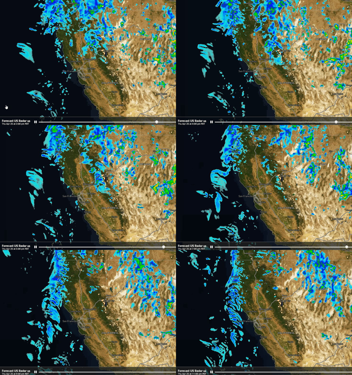
The latest model runs show the next storm moving in between Tuesday night and Wednesday, and continuing into Wednesday night. This storm starts colder and will see a cold front with snow levels dropping again. It will also bring gusty winds for Wednesday similar to Friday. This storm could drop several inches of additional snowfall or more.
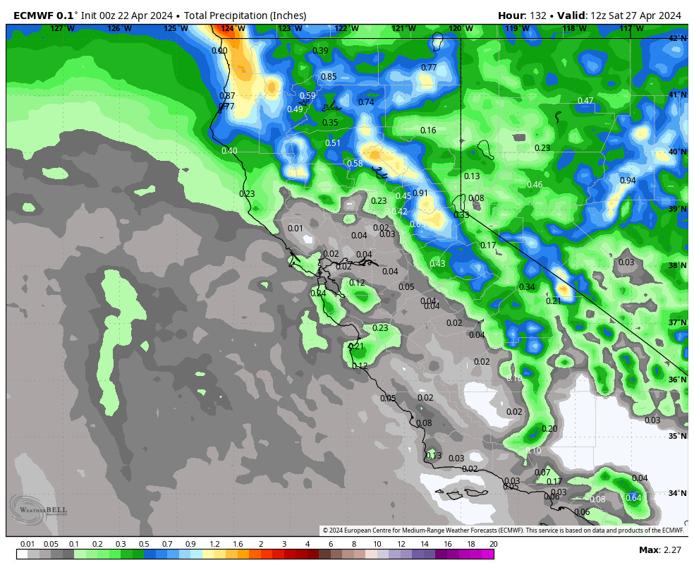
The storm door remains open through the 30th. We may see a break between storms on Thursday the 28th with similar weather as Tuesday. Then the final storm of the series is forecast to move in between Friday the 29th and Saturday the 30th. This could be another decent spring snowstorm.
We’ll continue to watch the trends on all 3 storms expected over the next 7-9 days. We look to finish the month on a wet note similar to how we started the month. All of this will be added to the above-average precipitation and snowfall we’ve already seen for March.
The long-range models still show high-pressure building in near the West Coast to start April. That should bring a drier pattern to start the month. The trend beyond the first few days of April is for the ridge to shift away from the West Coast again, which could open the door to storms again, but they are usually weaker in April.
BA

