

Snowfall Report:
An additional 2 inches of snow fell on the mountain in the past 24 hours. That brings the 2-day storm total to 6 inches so far. That’s on track with the 5-9 inches we expected for the storm through Friday, and we have one more day of snow showers to go to add to the totals.
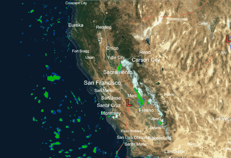
Friday Snow Showers:
The center of the low is spinning over CA Friday morning and it will move east out of the region through Friday night. We will see scattered snow showers continue through the day on Friday and into Friday evening before clearing out overnight. Highs in the 30s. Snow levels will stay below the base.
We could see a final dusting up to an inch or two on the mountain depending on where the snow showers pop up through the day.
Weekend Weather:
It stays cold for the weekend with highs remaining in the 30s and overnight lows in the teens and 20s. The latest model runs show west winds gusting up to 30-40+ mph on the ridges Saturday morning before falling through the afternoon.
We should see mostly sunny skies for Saturday and partly sunny skies for Sunday. Some clouds and a few scattered snow showers are possible Sunday afternoon from a weak system moving through. Not expecting more than a dusting of snow for any mountains that see a snow shower.
This weekend is the WinterWonderGrass Music Festival at Palisades Tahoe. The evenings will be cold as temperatures dip into the 20s and teens overnight through the weekend. Snow showers are possible during the evening on both Friday and Sunday, with clearer skies expected for Saturday evening.
Milder Weather:
High pressure starts to build in on Monday with mostly sunny skies and highs warming into the 40s. We could see gusty northeast winds over the ridges up to 30-40+ mph.
The dry pattern continues through the end of the week with high warming into the 50s on Tuesday and 60s for lake level by Wednesday as high pressure strengthens over the region.
The long-range models show high pressure over the West through mid-month. We should stay dry and mild. There’s always a chance a weak system gets close enough to put enough moisture in the air for afternoon convective showers to pop up, so we’ll keep an eye out for that.
Long-Range Forecast:
The ensemble mean models still suggest a weak trough pushes into the West Coast during the 3rd week of April, but I’m still not impressed or convinced it will bring any storms. If we do see any they will likely be pretty weak. The best chance looks to be between the 17th – 20th, so I’ll keep an eye out for anything that could bring more than just a light shower.
Then the models show a drier pattern building back in into the last week of April. As of right now, I still think it looks like game over for significant snowfall as this final storm moves out on Friday. At least for April.
I’ll keep an eye out for any storms that show up in the forecast through May. With the drier pattern ahead, I’ll likely cut my posts back to every other day starting next week.
BA
