
First Week of May Snowfall Report:
The first week of May was a cold and snowy one. The upper mountain picked up 11 inches of new snow! That brings the season total to a whopping 721 inches!
Second Week of May Forecast:
Monday the 8th we still have some cold and unsettled weather lingering as a system moves through to our north. Highs remain in the 30s for the upper mountain and 40s near the base. We will also see some gusty winds with ridgetop gusts up to 60+ mph from the southwest, which could affect a few upper mountain lifts.
As we go through the rest of the week and into the 2nd weekend of May, we will see a drying and warming trend through the week. Tuesday we could see a few clouds and a stray shower with highs warming into the 40s on the mountain and 50s at the base.
Mostly sunny skies by Wednesday through the weekend. Highs warming into the 50s on the mountain and 60s at the base by the end of the week, and possibly hitting 70 degrees at the base during the weekend of the 13th-14th
Long-Range Weather:
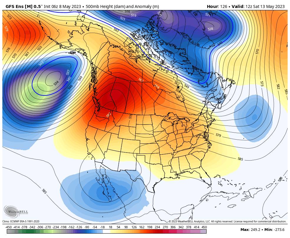
The spring weather looks to remain with us through mid-month and into the 3rd week of May. As we get closer to mid-month we could see some southerly flow into the West drawing up enough moisture for some afternoon clouds or showers/thunderstorms.
BA
P.S. Thank you to everyone for following along with the forecasts this season. They will resume again in November for the 2023-24 ski season.


