
Snowfall Report:
The mountain is reporting 2 inches of new snow in the past 24 hours as of 5 AM Sunday. That brings the 5-day total to 54 inches so far, 447 for the season, and a lot more inbound starting Sunday!
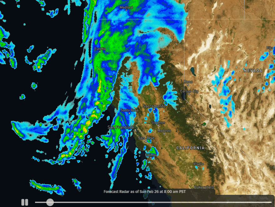
Sunday Storm:
Scattered snow showers increase Sunday morning as the winds increase from the southwest, with ridgetop gusts up to 70-80+ mph by afternoon. That should close some upper mountain lifts. Steadier snow moves in during the afternoon as the next storm moves in and continues into Sunday evening. We transition back to lighter and more scattered snow showers later Sunday night into Monday morning.
Highs are only in the 20s Sunday. Here is the updated snowfall forecast for additional snowfall expected Sunday through Sunday night.
- 7-12 inches at the base.
- 9-14 inches at mid-mountain elevations.
- 11-16 inches up top.
Monday – Wednesday Storm:
Heavy snow moves in Monday afternoon as the next storm moves in, with heavy snow expected through Tuesday. Snow showers linger into Wednesday morning before clearing during the afternoon.
Strong winds continue through Tuesday with ridgetop gusts up to 70-80+ mph and some lift closures likely. Then lighter winds for Wednesday. Highs remain in the 20s through Wednesday.
This is another cold storm series with strong winds and powdery snow blowing around. Here is the updated snowfall forecast for Monday – Wednesday.
- 40-49 inches at the base.
- 46-55 inches at mid-mountain elevations.
- 51-61 inches up top.
That means we could see up to 130 inches of snow in total by Thursday for 8-day totals on the upper mountain!
Long-Range:
We still expect a break in the active pattern from Thursday into Friday, with mostly sunny skies and highs into the 30s.
Then storms return by the weekend of the 4th-5th into the week of the 6th as another cold trough is forecast to dig into the West Coast. We’ll continue to watch the trends as we get closer.
BA


