Dry Week Ahead:
It’s a cold Saturday morning with temperatures in the teens at the base, but with the lighter winds, we saw inversions form overnight with temperatures rising into the 30s up top.
We have a week ahead of mostly sunny days and highs into the 40s, with 30s for highs above 8000 ft.
Next Weekend’s Pattern Shift:
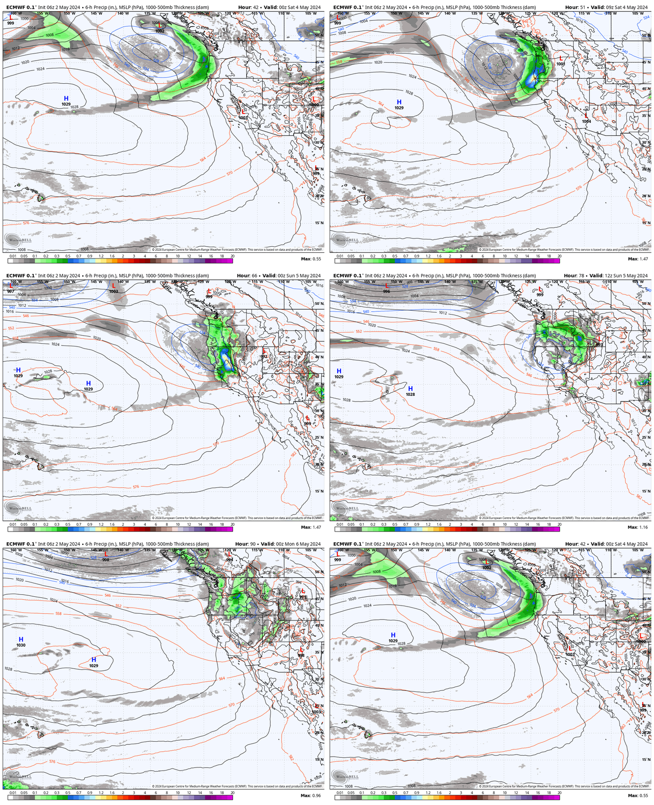
The latest model runs still show the trough trying to push into the West Coast next weekend opening up the door to a storm moving through, but the latest runs now show the trough becoming pinched off by high pressure to the north.
That has the trough and associated low-pressure system that spins up into the trough becoming cut-off from the east-west flow. They are also encountering the high-pressure ridge over the West. Both of these are causing the models to now show a slower-moving trough through could sit near the coast from next weekend into the first few days of the following week.
The storm that spins up into the trough off the coast could form into a closed or cut-off low and spin off the coast before eventually moving inland. Several scenarios could play out, but they will be hard to forecast with the system cutting off some from the flow. Overall we expect a chance for snow at some point between Saturday and the following Wednesday.
We’ll likely be swinging the forecast a bit up and down as we try to nail the forecast down over the next week.
Long-Range Forecast:
The long-range models still show high-pressure building back in whenever that trough finally finishes moving through, with a drier pattern possible through the 24th.
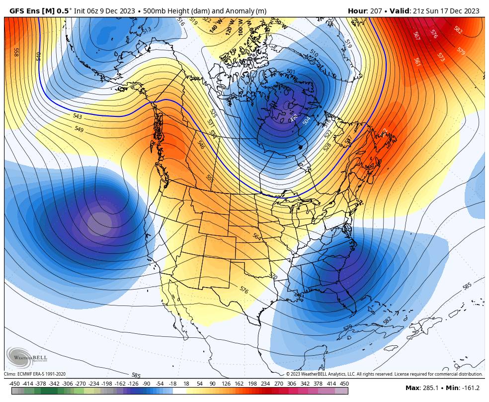
By the 25th the long-range ensemble mean models are still in good agreement on a pattern that has a very large low-pressure trough over the northeast Pacific. That could allow some pretty big storms to form over the Pacific and to head toward the West Coast.
What could be even more helpful is the strong jetstream forecast to extend east off of Japan across the entire Pacific, all the way to the West Coast by the 25th. That means a parade of storms could be lined up across the Pacific being steered toward the West Coast by Christmas Day, with a moisture tap all the way west across the Pacific to help feed them.
IF this pattern were to continue to hold over the next two weeks, it could mean that storms unleash on northern CA starting around Christmas through the last week of December. We have to remember that this is still 16+ days out. Forecasts this far out change all the time and people will get excited and then be let down. But the ingredients are there and we are anxiously awaiting our first big storm series.
We’ll continue to watch the trends closely…
BA


