Skip to content
Palisades Tahoe Logo Palisades Tahoe Logo Palisades Tahoe Logo
Explore
Main Menu
  • Explore Palisades Tahoe
  • Base to Base Gondola
  • Our New Name
  • Explore Legendary Lifts
  • Palisades Tahoe Blog
  • About Lake Tahoe
  • About Us
Plan Your Visit
Main Menu
  • Tickets & Passes
  • Lodging
  • Lessons & Guides
  • Deals & Packages
  • Rentals & Demos
  • Travel Here
  • Getting Around
Mountain Information
Main Menu
  • Snow and Weather
  • Lift and Grooming Status
  • Webcams
  • Hours of Operation
  • Trail Maps
  • Parking & Road Conditions
  • Snowfall Tracker
Events & Activities
Main Menu
  • Events Calendar
  • Activities
  • Dining & Apres
  • Shopping
  • Things To Do In Lake Tahoe
  • Groups, Meetings & Weddings
  • Ski & Snowboard Teams
IKON PASS HOLDER LODGING DISCOUNT

Ikon Pass holders save up to 20% on slopeside lodging at The Village at Palisades Tahoe.

SLOPESIDE LODGING
Icon / FlashCreated with Sketch.
View All Offers
  • Weather

Dry thru Sat, More Snow Possible by Sunday

  • Jan 24, 2023
  • 8:08 am

Tuesday – Saturday:

The center of highest pressure will be sitting near the West Coast through the end of the week. That will block storms with mostly sunny skies expected each day through Saturday as the dry pattern continues.

We will be on the east side of the high-pressure ridge off the coast which will continue a northerly flow of colder air into the region, and below-average temperatures. Highs into the 30s each day, with 40s possible for the base briefly on Friday. Winds gusting up to 30+ mph each day, turning from the northeast to the west Friday.

Sunday – Tuesday:

Colder and windier weather is expected for Sunday into early next week as the ridge near the coast shifts west and a cold trough digs into CA from the north. Highs drop into the 20s for the upper mountain and 30s at the base starting Sunday. The winds could become strong enough to affect some upper mountain lifts into Monday.

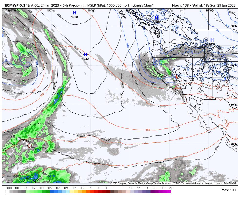
We are tracking a system or two that will drop down from the north between Sunday and Tuesday. The latest model runs don’t agree on the exact track of the systems from the north. They could stay drier over land or they could track closer to the coast and tap into some Pacific moisture.

We’ll continue to watch the trends to see how much snow we could see Sun-Tue. Overall I’m expecting the snow to fall in inches not feet.

First Week of February:

Going through the first week of February, the long-range models continue to struggle with the pattern and storm tracks for CA. We could be right on the southern edge of the storm track with only lighter precipitation reaching us at times, but that could also place the jet stream into northern CA at times with some wetter storms possible.

We’ll continue to watch the trends. I think the forecast models are going to struggle with the storm tracks until we are within a few days of each storm, but overall we are expecting a colder and somewhat more active pattern starting Sunday.

BA

lake tahoe weather palisades tahoe weather forecast snowfall forecast
Bryan Allegretto
Bryan Allegretto

Share this article:

Recent Posts

  • Weather ·
  • February 8, 2023·

Tracking Light Snow for Friday Night

Wednesday – Thursday: Mostly sunny skies through Thursday. Highs into the 30s for the upper mountain and 40s at the…
Read more
  • Weather ·
  • February 7, 2023·

Weak System Possible Fri Night – Saturday

Tuesday – Thursday: Mostly sunny skies with a few clouds possible through Thursday as high pressure builds in over CA.…
Read more
  • Weather ·
  • February 6, 2023·

1-2 Feet of Fresh Snow

Snowfall Report: We definitely saw more than the 8 inches being reported by mountain ops fall on the mountain on…
Read more

Social

Instagram Twitter Facebook Youtube

Contact

   Email Us
   1.800.403.0206

Our Partners

U.S. Forest Service Logo
1960 Olympic Valley Road
Olympic Valley, CA 96146

©2022 Palisades Tahoe

Alterra Mountain Company
  • Privacy Policy
  • Terms of Service
  • Photo Upload Terms of Use
  • Accessibility
  • Do Not Sell My Personal Information
  • Privacy Policy
  • Terms of Service
  • Photo Upload Terms of Use
  • Accessibility
  • Do Not Sell My Personal Information