Wednesday – Sunday:
Still chilly on Wednesday with mostly sunny skies. Highs in the 30s on the mountain to nearly 40 degrees at the base along with lighter winds.
Thursday through Sunday we expect mostly sunny skies and warming high temperatures. Highs warm into the 40s for Thursday to nearly 50 degrees at the base, and then into the 50s Friday through the weekend to nearly 60 degrees at the base as high-pressure builds over the West Coast.
There is a chance for a scattered rain shower to pop up Sunday afternoon-evening.
Long-Range:
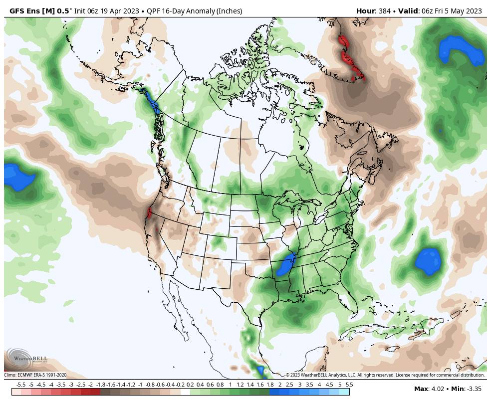
The drier pattern is expected to continue next week with highs in the 50s. The drier pattern is forecast to continue into early May. The long-range models do show some moisture around that could lead to a few scattered showers popping up some afternoons, but no snow is currently in the forecast.
We’ll continue to watch the trends to see if we could see any more snow later in the month before these seasonal forecasts end on May 1st as they do each season. The posts will likely be every other day until the last post of the season.
BA


