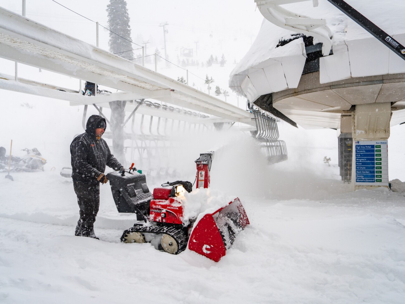
Snowfall Report:
The snow showers Sunday into Sunday night dropped a final 2 feet of powdery snow on the mountain. That brings the final 4-day storm total to 96 inches or 8 feet of snow! If you remember back to my final forecast before the storm Thursday morning, we expected 7-9 feet of snow with this storm, so even after less than expected Friday due to 190 mph winds, we still picked up the forecasted range!
Now it’s time to finish digging out and getting as much of the mountain open as possible through the day on Monday.
Monday – Tuesday System:
Not much has changed with the forecast for the next system. We still have gusty winds over the ridges that are expected to drop to around 40-50+ mph for Monday into Tuesday. That should allow most of the lifts to get open at some point. Highs in the 20s on the mountain to near 30 degrees at the base on Monday and into the 30s for the lower elevations on Tuesday.
A front will stall to our north Monday into Tuesday as the center of low pressure drops down the CA coast and into SoCal by Wednesday as the system splits. The latest model runs still show light precipitation reaching the mountain by Monday afternoon into Tuesday, and then backing away by Tuesday night.
Snow levels start out low on Monday and rise to near the base by Monday evening, dip to around 3000-4000 ft. Monday night, and then back up near to just above the base by Tuesday afternoon. That would keep snow ratios on the higher end above 8000 ft. around 14-16:1 but only averaging around 10:1 down near the base.
We could see a dusting up to 3 inches of snow near the base and 1-4 inches on the mountain by Tuesday afternoon, depending on how far south the steadier snow showers track.
Wednesday – Friday:
Some clouds and a stray shower are possible from the low moving through SoCal on Wednesday, and another weak system could sweep through the region on Thursday. We could see some clouds from both and some sun. Highs into the 30s. We will finally see the ridgetop winds drop off through Friday.
Friday should be mostly sunny as high pressure builds in over the region briefly. Highs into the 40s for the lower elevations.
Saturday System:
We should be partly sunny on Saturday with increasing clouds. The next system could bring in some snow showers by the end of the day and into Saturday night, as a fast-moving and weak system is still forecast to swing through.
The winds over the ridges could increase Saturday ahead of the fast-moving front, with gusts up to 40-50+ mph. Sunday looks to be partly sunny but the winds could increase ahead of the next storm with ridgetop gusts up to 40-50+ mph again by afternoon, and increasing further into Sunday night. Highs into the 30s both days, to near 40 degrees down near the base.
Long-Range Forecast:
A trough is still forecast to dig south into northern CA over the weekend into Tuesday the 12th. That will keep the door open to another storm sometime between Sunday night and Tuesday. Overall the models show this system as possibly being the wetter storm, but the ensemble mean models show less than an inch of total precipitation between Saturday and Tuesday the 12th.
So the thinking currently is that these storms will be bringing us inches of snow and not feet if they reach us. The trough is not forecast to be that deep over CA, which is why the storms aren’t digging more along the coast and picking up more moisture. It’s possible they trend drier through the week.
Drier Pattern:
The long-range models continue to show a large high-pressure ridge building in over the West starting around the 13th through at least the 18th of March. That could bring us a prolonged drier pattern that could also become a milder pattern as well. We’ll continue to watch the long-range patterns to see when the pattern could shift again bringing us some late-season storms.
BA


