It’s the last weekend of the season and we could see a few flakes fall on the mountain!
Thursday – Friday:
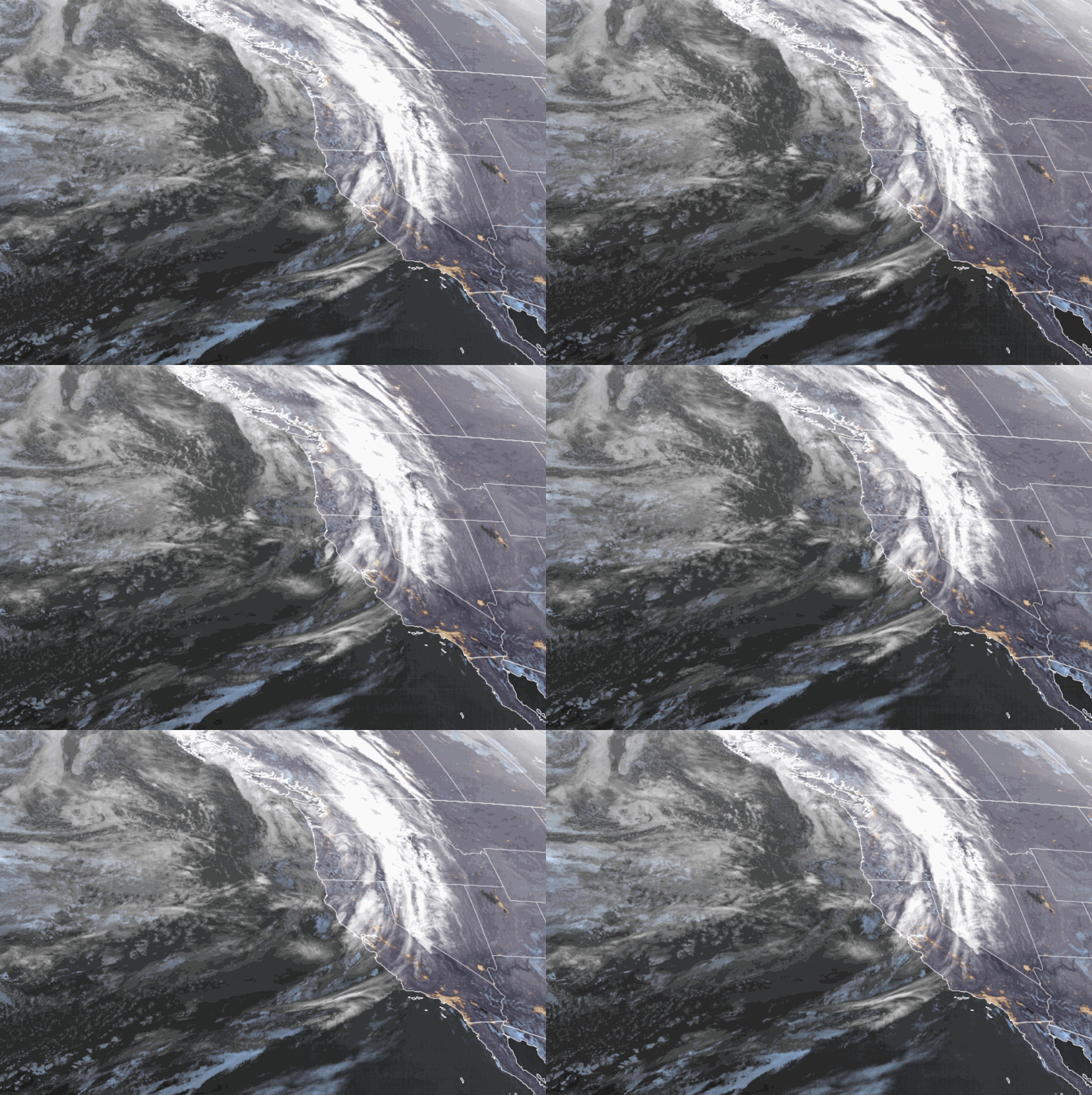
For Thursday we start out with nice weather. Partly cloudy skies and highs into the 70s at the base and 60s on the mountain. Some increase in clouds later in the day as the next system moves into the Pacific NW. Ridgetop winds from the southwest increase to 40+ mpg during the morning and 50+ mph during the afternoon.
Friday some clouds are still around from the active pattern to our north moving in for the weekend. Slightly cooler with highs into the 60s at the base and 50s up top. Ridgetop winds from the southwest gusting up to 40-50+ mph.
Memorial Day Weekend:
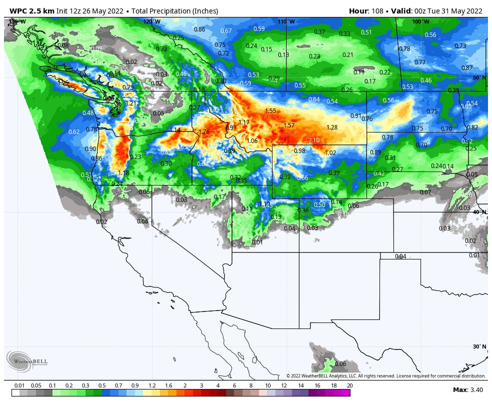
Several waves moving through the Pacific NW through the weekend. Most of the precipitation looks to stay to our north through Monday. The latest model runs show a few stray showers possible each day, with the best chance for some showers looking to be Saturday night into Sunday on the latest forecast model runs.
Highs dip into the 50s at the base for the weekend and 40s up top. The coldest day could be Sunday with highs maybe only in the 40s at the base and 30s up top. Ridgetop winds from the southwest gusting up to 70-80+ mph Saturday could affect some upper mountain lift operations.
Sunday the winds are expected to drop with ridgetop gusts to 30+ mph from the west, then lighter for Memorial Day. Snow levels are high through Saturday up around 9,000-10,000 ft. Saturday night they could drop to 7000-8000 ft. and then 6000-7000 ft. into Sunday morning when we have the best chance for showers. Then Sunday night they could dip below 6k.
Monday we could see scattered showers around during the morning but we should clear out through the day with cool air in place. Maybe the nicest day of the weekend even though it won’t be warm. The total precipitation forecasts keep most of the moisture to our north through Monday.
Overall the weekend should feel cooler and unsettled. We will have to see how far south the steadiest showers track. We could see some snow on the upper mountain Saturday night into Sunday, and maybe a few flakes to the base Sunday night. Only expecting a coating to an inch of snow at best right now, but a heavier shower could bring some heavier snow to the upper mountain.
Next Week:
High pressure continues to build back in through the week. We should see warmer and nicer weather through Friday the 3rd.
The long-range models suggest more cool troughs that could move into the West bringing cooler air and unsettled weather. The next one could move in as early as the weekend of the 4th.
This will likely be the last post of the season as the mountain closes for skiing after Monday. See you again in the fall as the 22/23 ski season gets going!
BA


