Monday – Thursday Weather:
Monday begins our nicer spring weather pattern. We will see mostly sunny skies through Thursday. Highs into the 40s Monday, 50s Tuesday, and 60s for Wednesday – Thursday. Around 5-10 degrees colder for the upper mountain.
Friday Showers:
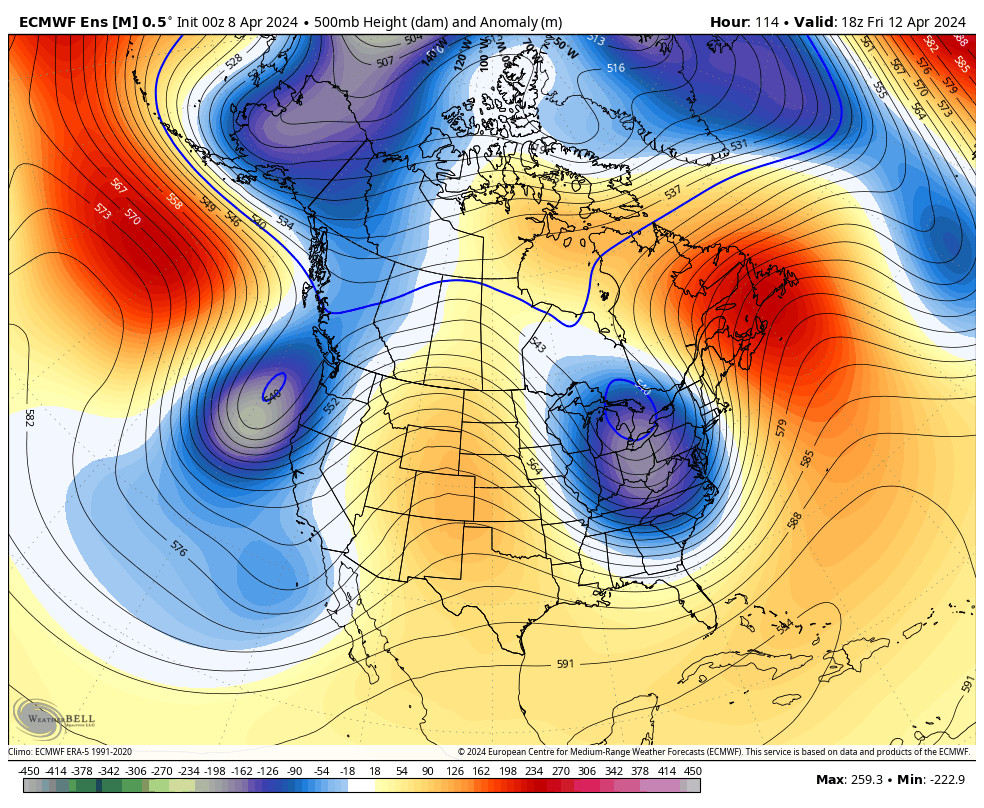
In my last post on Saturday morning, I talked about a weak system bringing the chance for afternoon showers on Friday and Saturday. That system is still forecast to approach the West Coast on Friday. We should see mostly sunny skies in the morning and then some clouds with showers popping up over the mountains Friday afternoon.
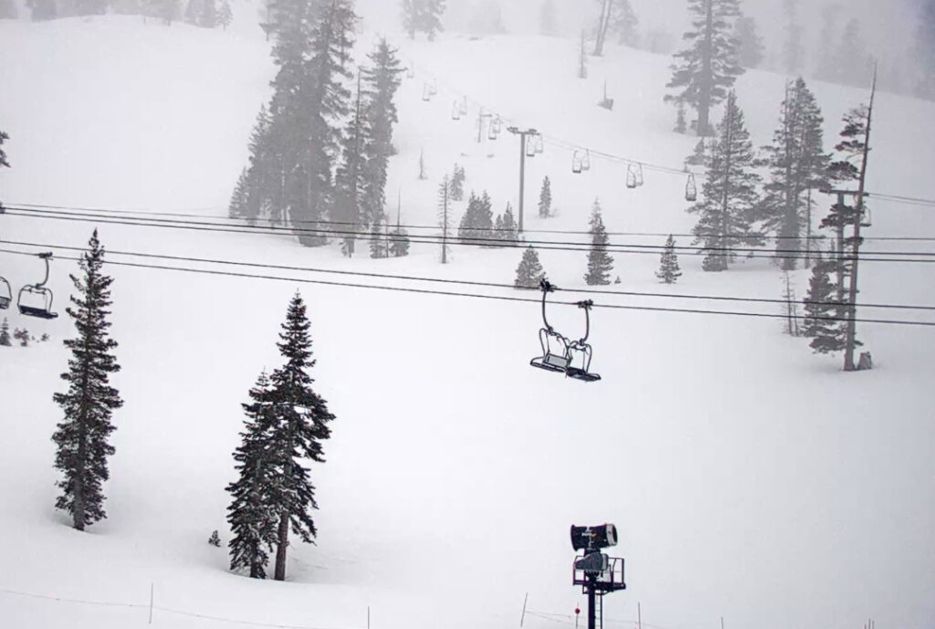
Highs in the 50s with snow levels likely above 9000-9500 ft, so only rain showers are expected. We could see gusty winds with ridgetop top gusts up to 50-60+ mph from the SSW by evening that could affect some upper mountain lift operations Friday afternoon.
Weekend Snow Chances:
Based on the latest model runs we could see steadier precipitation on the east side of the storm push into the Sierra sometime on Saturday with the steadiest precipitation possible Saturday night, and then scattered showers possible Sunday as the storm departs. Highs in the 40s at the base and 30s on the mountain.
The gusty winds will likely stick around through Saturday. The warm air in place ahead of the storm will take a while to erode but there is cold air at the center of the low. We could see snow levels up around 9000-9500 ft. Saturday morning that drop to around 7000-7500 ft. by the end of the day, with rain at the base.
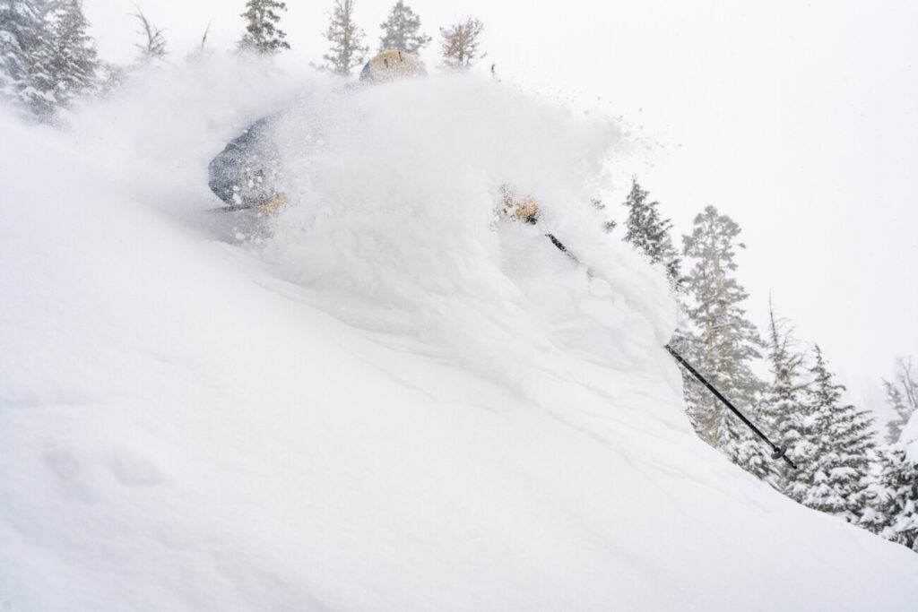
Then Saturday night the snow levels could drop to 5000 ft. before rising back up to 6000-7000 ft. on Sunday. That means we could see some snow to lake level Saturday night if the current forecasts hold. By Sunday afternoon we could see snowfall totals of around 0-3 inches at the base and 2-5 inches on the upper mountain.
The track of this storm could trend away from us as fast as it trended toward us by my next forecast. So take the snowfall forecast with a grain of salt. I’ll post daily starting Wednesday morning if the storm still looks to be on track to bring measurable snowfall to the mountain.
Long-Range Forecast:
The long-range models show high pressure building back in during the week of the 15th, and possibly into the last week of April. That should bring a return of the drier and milder weather next week, and possibly beyond.
We’ll continue to watch the long-range for any signs of another storm popping up that could bring some late-season snow to the mountain.
BA


