Mild Weather through Thursday:
We will continue to see a dry and mild pattern through Thursday as high pressure continues to dominate our northern CA weather pattern. Sunny days continue with highs into the 50s for the lower elevations and 40s for the higher elevations along with lighter winds.
Weekend Snowstorm:
We will have a dramatic shift back to winter for the weekend. Friday will be the transition day with increasing winds and some clouds by the afternoon. Highs drop into the 40s.
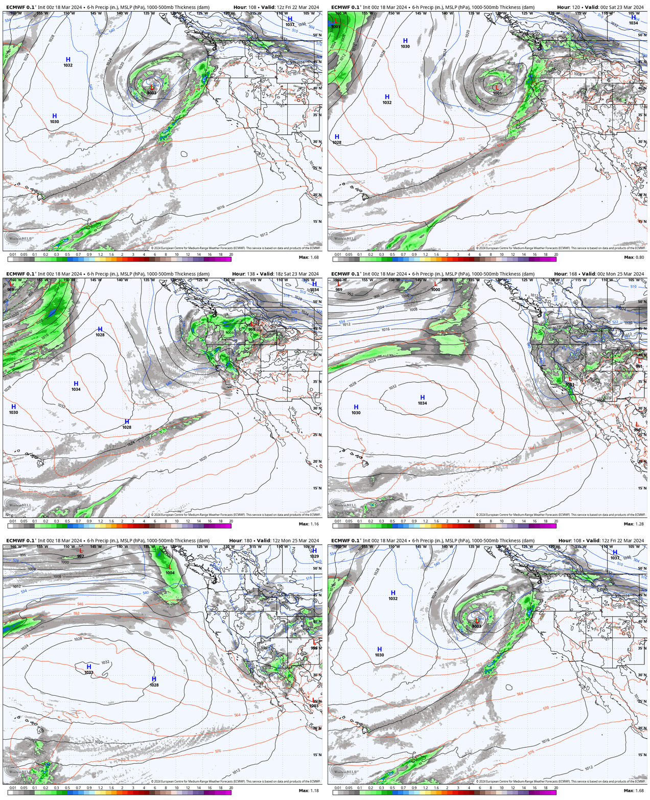
A cold trough digs into CA for the weekend with a storm moving in Friday night into Saturday, and snow showers continuing into Sunday before the storm clears out Sunday night. The heaviest precipitation is forecast to fall Friday night into Saturday, with showers into Saturday night and scattered showers into Sunday.
Highs will drop into the 30s for the lower elevations over the weekend and 20s for the upper elevations. Ridgetop winds will be gusting up to 60-70+ mph on Saturday, which could close some upper mountain lifts. Then coming down on Sunday. Overall a colder and stormy weekend ahead, the complete opposite of this past weekend.
Snow Levels & Snowfall:
The snow levels will start high Friday night, up to around 7300-7800 ft. Friday evening and possibly only falling to near 7000 ft. into the early morning hours, but then falling quickly to the base by Saturday morning as the cold front moves through with some of the heaviest snow. That means we should see some rain below 7000 ft. Friday night.
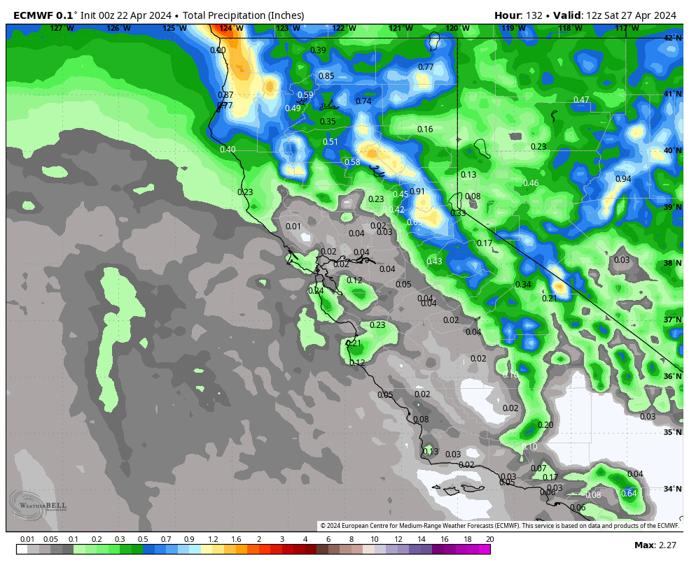
Saturday into Sunday the snow levels look to stay below the base but wet snow is still expected below 7k’ with low snow ratios. Between 7000-9000 ft. snow ratios could average around 10-14:1 for the storm. Based on an average of the latest model runs, we could see weekend totals of around 8-13 inches at the base, 13-18 inches near mid-mountain, and 18-24 inches up top.
Most of the snow is expected to fall by Sunday morning with scattered snow showers possible through the day and clearing out Sunday night. We’ll continue to fine-tune the forecast all week. We still have 4+ days until the storm arrives, so the forecasts could change as we get closer.
Long-Range Forecast:
If you were to just look at the GFS forecast models you would see troughing over CA into the beginning of April and another decent storm next Wednesday – Thursday the 27th – 28th, with additional weak systems possible into the beginning of April.
However, the European models, which tend to be a little more accurate in the long-range, show a weak system possible for the middle of next week, and high-pressure building near the West Coast by the end of the month bringing a drier pattern.
Even more interesting is that the new Euro AI (artificial intelligence) model is showing high-pressure building in over CA next week into the beginning of April. That would be game over for the cold and storms after the brief return of winter this upcoming weekend.
The warm and dry pattern on the AI model is the opposite of the GFS model’s forecasts. The European model is in the middle. This is going to be an interesting test case for long-range forecasts as we start to incorporate the AI models into our forecasts.
BA


