Skip to content
Palisades Tahoe Logo Palisades Tahoe Logo Palisades Tahoe Logo
Explore
Main Menu
  • Explore Palisades Tahoe
  • Base to Base Gondola
  • Our New Name
  • Explore Legendary Lifts
  • Palisades Tahoe Blog
  • About Lake Tahoe
  • About Us
Plan Your Visit
Main Menu
  • Tickets & Passes
  • Lodging
  • Lessons & Guides
  • Deals & Packages
  • Rentals & Demos
  • Travel Here
  • Getting Around
Mountain Information
Main Menu
  • Snow and Weather
  • Lift and Grooming Status
  • Webcams
  • Hours of Operation
  • Trail Maps
  • Parking & Road Conditions
  • Snowfall Tracker
Events & Activities
Main Menu
  • Events Calendar
  • Activities
  • Dining & Apres
  • Shopping
  • Things To Do In Lake Tahoe
  • Groups, Meetings & Weddings
  • Ski & Snowboard Teams
IKON PASS HOLDER LODGING DISCOUNT

Ikon Pass holders save up to 20% on slopeside lodging at The Village at Palisades Tahoe.

SLOPESIDE LODGING
Icon / FlashCreated with Sketch.
View All Offers
  • Weather

Cold with Snow Showers Possible Friday

  • Dec 31, 2021
  • 8:53 am

Snowfall Report:

The snow showers Thursday brought a coating of snow to the base and up to 4 inches of new snow on the upper mountain.

Friday:

Partly sunny for Friday with highs in the 20s. Breezy west winds with gusts up to 50+ mph up top possible. A cold front dropping down from the north Friday could bring a few more snow showers into the afternoon, with a dusting to an inch or two possible at best.

Friday night for the New Year’s Eve celebrations we will see temperatures drop into the teens and then singled digits at the base. Any light winds will make it feel even colder to the skin. Bundle up if you plan to be outdoors.

The Weekend:

Saturday and Sunday we expect mostly sunny skies during the day. Highs into the 30s at the base and 20s up top. Saturday the winds look to be lighter. Then they could increase again Sunday from the southwest, gusting up to 70+ mph by afternoon up top, possibly affecting some upper mountain lift operations.

Monday – Tuesday:

Monday we could start with partly sunny skies and then increasing clouds later in the day as the next storm approaches. Highs are still in the 20s and 30s. The winds could continue to increase from the southwest gusting up to 100+ mph up top by afternoon. That will likely close some upper mountain lifts.

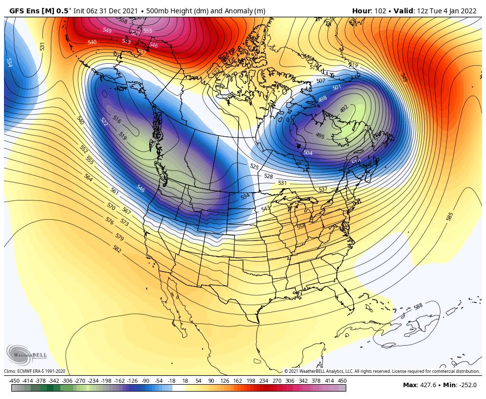
Monday night through Tuesday the next storm is forecast to move in. The forecast models have been trending the storm farther & farther north each day, with less precipitation for the Tahoe Basin. We will continue to watch the trends.

As of right now, it looks like we could see snow Monday night through Tuesday and then ending Tuesday night. We should also see strong winds Tuesday with ridgetop gusts up to 90+ mph in the morning and 70+ mph during the afternoon, possibly closing some upper mountain lifts. Highs in the 30s.

Snow levels rise Tuesday and could approach the base by afternoon. For now, we are expecting mainly all snow from the base to the top. 2-5 inches possible at the base and 3-7 inches on the mountain. If the storm trends any farther north the amounts could continue to come down.

Wednesday – Thursday:

Wednesday and Thursday could be partly-mostly sunny with gusty winds and milder temperatures as the storm track shifts to our north. Highs could be into the 40s at the base and 30s up top.

Long-Range:

Another storm is possible next Friday into Saturday the 8th. We will have to see how far south this storm will dig as well. Right now it looks like several inches of new snow are possible, but we’ll update as we get closer.

Going into the 2nd week of January the forecast models suggest we could see a drier pattern, at least through mid-month. That is subject to change as we get closer…

BA

lake tahoe weather palisades tahoe weather forecast snowfall forecast
Bryan Allegretto
Bryan Allegretto

Share this article:

Recent Posts

  • Weather ·
  • March 29, 2023·

Partly Sunny Wed-Sun w/ Snow Showers Possible

Snowfall Reports: 12 inches of new snow fell on the mountain in the past 24 hours as of 5 AM…
Read more
  • Weather ·
  • March 28, 2023·

Snow & Strong Winds Tuesday

Tuesday  – Wednesday Storm: Snow showers are pushing in Tuesday morning, with heavier snow expected later in the morning into…
Read more
  • Weather ·
  • March 27, 2023·

Snowstorm Tuesday, Snow Showers Wed-Sun

Monday: Monday will start out sunny with highs in the 30s at the base and 20s up top. Some high…
Read more

Social

Instagram Twitter Facebook Youtube

Contact

   Email Us
   1.800.403.0206

Our Partners

U.S. Forest Service Logo
1960 Olympic Valley Road
Olympic Valley, CA 96146

©2022 Palisades Tahoe

Alterra Mountain Company
  • Privacy Policy
  • Terms of Service
  • Photo Upload Terms of Use
  • Accessibility
  • Do Not Sell My Personal Information
  • Privacy Policy
  • Terms of Service
  • Photo Upload Terms of Use
  • Accessibility
  • Do Not Sell My Personal Information