Colder Weekend Weather:
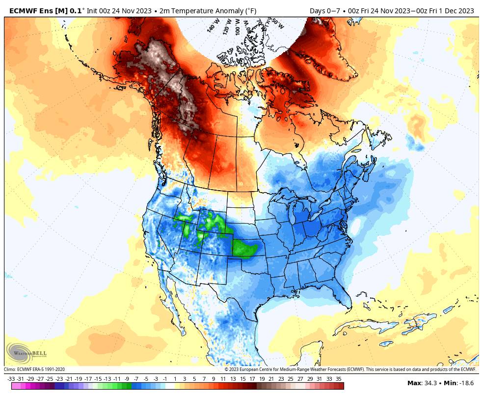
The colder airmass in place will stick around for the weekend with highs in the 30s and lows in the teens and 20s. That should allow for continued snowmaking and trail expansion as we continue to wait for natural snow to show up.
The cold pattern is over most of the country over the next week and we will remain fairly cold through the end of the month. Highs will likely warm into the 40s for the lower elevations near the base by Monday through the middle of next week.
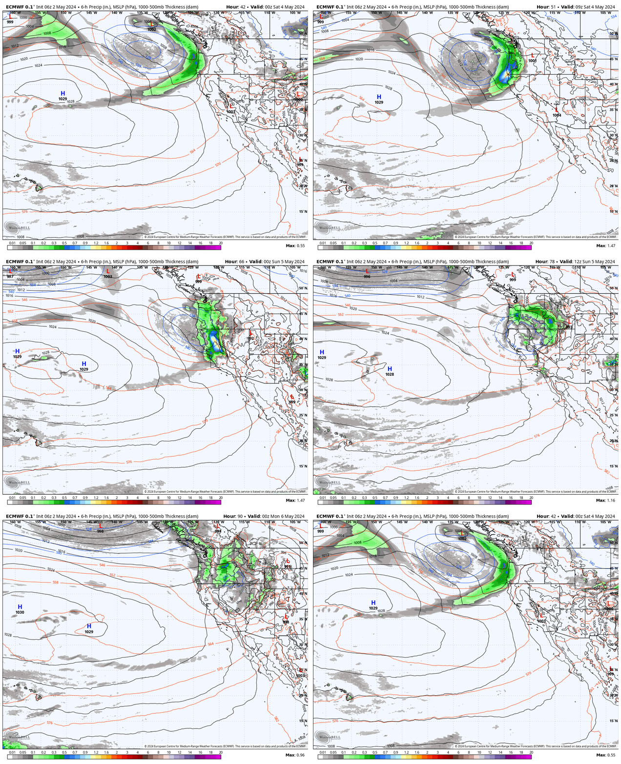
There is a cut-off low forecast to be off the coast by Tuesday-Wednesday that has a chance of moving into CA Wednesday-Thursday with some light snow for the mountains. We’ll keep an eye on that. Overall we are still expecting a fairly dry pattern through the end of November.
Long-Range Forecast:
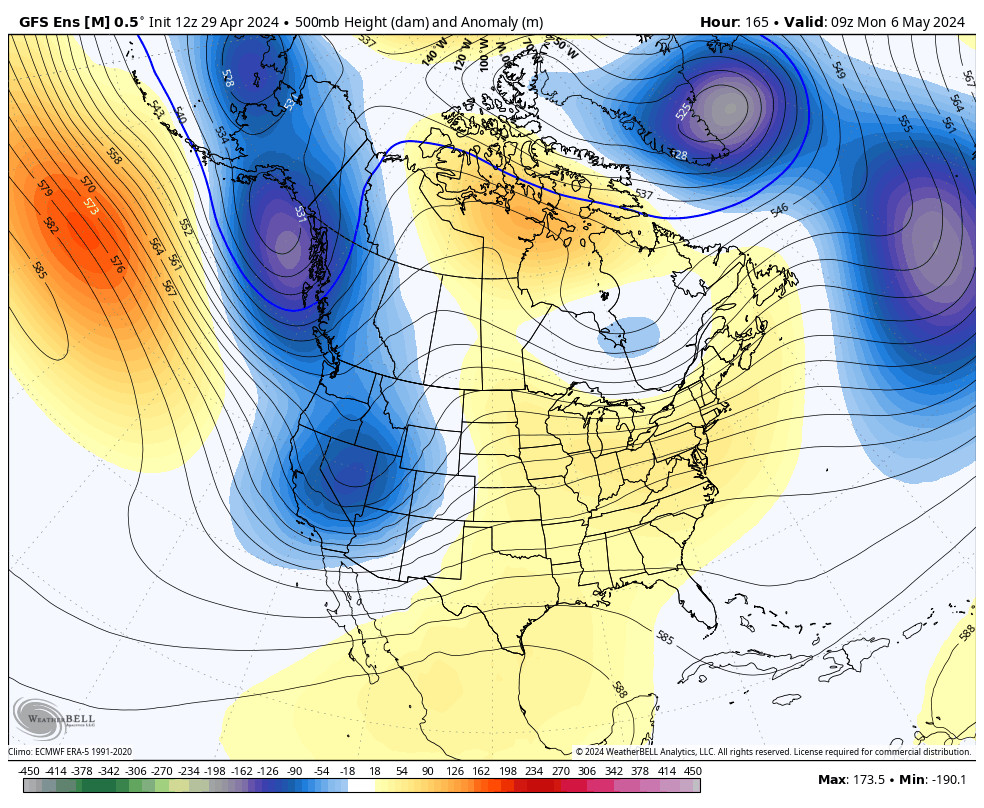
The long-range models continue to show large-scale troughing over the West Coast by the 1st into the first week of December. But the trough is trying to pinch off again like last week. That has the latest model runs starting to show systems dropping into the trough and taking a somewhat drier path down the West Coast, but they still show a few storms with at least some light snow.
The other change is that they are showing the trough shifting east faster with high-pressure riding returning to the West Coast by the end of the 1st week of December. That could be a sign that any troughing with the storm door opening could be short-lived for just the end of the month through the first few days of December.
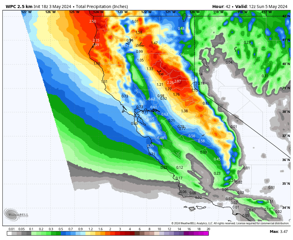
Overall, the long-range forecast models still show increased precipitation for northern CA and the northern Sierra for the first week of December. But the main storm track is still focused on the Pacific NW. We’ll continue to watch the trends to see if the storms will be able to make it far enough south into CA and can pick up enough moisture to bring some decent snowfall to the northern Sierra to start December.
BA

