Skip to content
palisades tahoe
Explore
Main Menu
  • Explore Palisades Tahoe
  • Discover Palisades Tahoe
  • Our Name Change
  • Explore Legendary Lifts
  • Palisades Tahoe Blog
  • About Lake Tahoe
  • Mountain Safety
Plan Your Visit
Main Menu
  • Lodging
  • Tickets & Passes
  • Lessons & Guides
  • Deals & Packages
  • Rentals & Demos
  • Travel Here
  • Ikon Pass Benefits
Mountain Information
Main Menu
  • Weather
  • Lift Status
  • Webcams
  • Hours of Operation
  • Trail Maps
  • Parking & Road Conditions
  • Snowfall Tracker
Events & Activities
Main Menu
  • Aerial Tram
  • Events Calendar
  • Activities
  • Dining & Apres
  • Shopping
  • Groups, Meetings & Weddings
  • Ski & Snowboard Teams
Summer High Camp Tram with wildflowers.
Basecamp for Lake Tahoe
Palisades Tahoe is the beating heart of Lake Tahoe adventure. Plan your trip with us today.
PLAN YOUR VISIT
Icon / FlashCreated with Sketch.
View All Offers

Clearing into Wednesday, Snow Thu – Fri

  • By Bryan Allegretto
  • Weather
  • Feb 9, 2021

Snowfall Report:

Light snow showers that moved through overnight into early Tuesday morning dropping a coating up to an inch of new snow on the mountain.

Tuesday – Wednesday:

Most of the scattered showers we saw this morning are shifting south of the Tahoe region. We have cloudy skies this morning but we should see some clearing through the afternoon with some sun. Highs in the 40s at the base and 30s on the upper mountain. Ridgetop winds were gusting up to 50 mph this morning but will come down through the day.

Wednesday will feature mostly sunny skies with highs in the 30s on the upper mountain and 40s at the base. Ridgetop winds gusting 30-40+ mph from the west by afternoon.

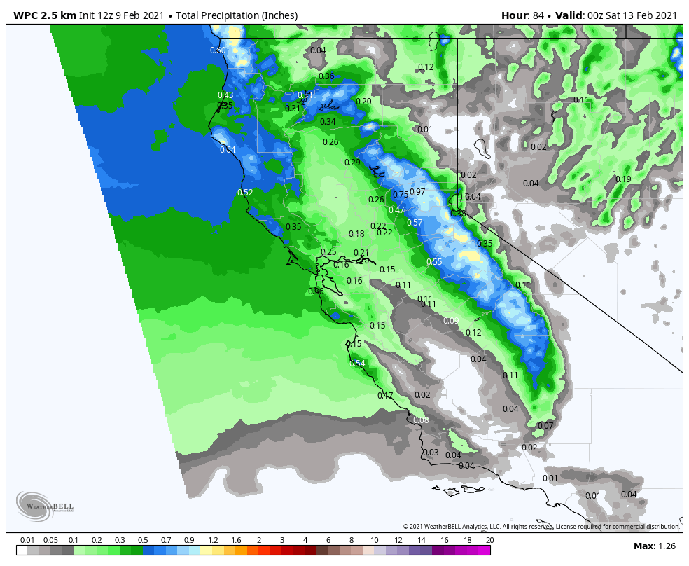
Thursday – Friday System:

The next storm will push into northern CA by Thursday afternoon into Thursday night, and then clearing out Friday morning. We still have a lot of discrepancies still with the details of this system as it is trying to push over high pressure off the coast. There is a large spread among the forecast models for total precip/snowfall amounts.

We start out with higher snow levels around 6500 ft. (just above the base) so some rain showers possible at the bottom of the mountain. Then steadier snow moves in Thursday night with snow levels falling below the base. The question for the base will be how fast they fall during the evening. Snow showers could linger into early Friday morning before clearing.

We could see 2-7 inches of new snow at the base, and 5-10 inches on the mountain by Wednesday morning. Ridgetop winds could gust up to 70+ mph by Thursday afternoon, possibly affecting some upper mountain lifts, then falling Friday. We should see some sun by Friday afternoon with highs in the 30s.

The Weekend System:

Another system will try to push into northern CA Saturday afternoon into Sunday morning. This system will be splitting with less precipitation expected, but it could be slightly colder to start. We should see all snow to the base. 

Initial snowfall guestimates are for 2-5 inches at the base and 3-7 inches on the upper mountain. Lighter winds expected with this system. The sun may come out by Sunday afternoon with highs in the 30s.

We will continue to watch the trend on both systems over the next few days and will fine-tune the details as we get closer.

Long-Range:

The long-range models suggest that we could see a weaker system try to move through Mon-Tue, and possibly a stronger system later next week.

BA

Share this article
Picture of Bryan Allegretto
Bryan Allegretto

Recent Posts

  • Weather ·
  • April 30, 2025·

Weekend Snow Showers Possible

There is a chance for high elevation snow showers for the first weekend of May. The mountain is aiming to…
Read more
  • Weather ·
  • April 28, 2025·

11 Inch Weekend Snowfall Total!

Snowfall Report: The weekend storm brought snow down to the base as we expected. We saw several inches accumulate on…
Read more
  • Weather ·
  • April 24, 2025·

Winter’s Quick Return

All of the focus this week is on winter’s last gasps over the weekend, as snow showers and low snow…
Read more

Social

Instagram Twitter Facebook Youtube

Contact

   Email Us
   1.800.403.0206

Our Partners

U.S. Forest Service Logo
1960 Olympic Valley Road
Olympic Valley, CA 96146

©2025 Palisades Tahoe

Alterra Mountain Company
  • Privacy Policy
  • Terms of Service
  • Photo Upload Terms of Use
  • Accessibility
  • Do Not Sell My Personal Information
  • Privacy Policy
  • Terms of Service
  • Photo Upload Terms of Use
  • Accessibility
  • Do Not Sell My Personal Information