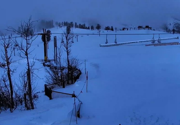
Snowfall Report:
We saw snow showers again on Saturday that dropped a final 2-5 inches of snow on the mountain. A bit more than expected! That brings the final 3-day storm total to 11 inches on the upper mountain which is two inches more than the high-end of my forecast for the storm.
That brings the season total to 394 inches so far as of April 6th, which is more impressive than it sounds after a very slow start to the season through the end of December.
Saturday – Sunday Weather:
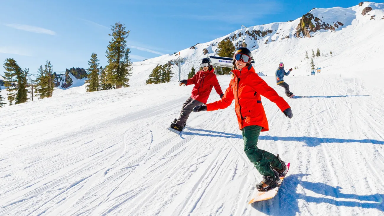
The storm has cleared the region and we will see mostly sunny skies for Saturday with highs in the 30s.
We’ll see some sun again for Sunday but some clouds and a few scattered snow showers are possible during the afternoon from a week system moving through. Highs are still in the 30s to near 40 degrees at the base. Not expecting more than a dusting of snow with the snow showers.
Drier & Milder Week Ahead:
High pressure builds in through the end of the week with mostly sunny skies expected each day through Friday. Highs warming into the 40s on Monday, 50s on Tuesday, and 60s by Wednesday. Around 5-10 degrees colder on the upper mountain.
Long-Range Forecast:
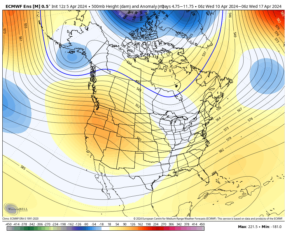
The long-range models show good agreement in high pressure and a dry pattern staying around through at least the 17th.
We have a stronger sun angle and we only need storms to get close to put enough moisture into the atmosphere for the rising air with daytime heating to spark off some afternoon showers and thunderstorms. So we’ll keep an eye out for that. Some models suggest there’s a chance for that the weekend of the 12th-14th.
Later in April:
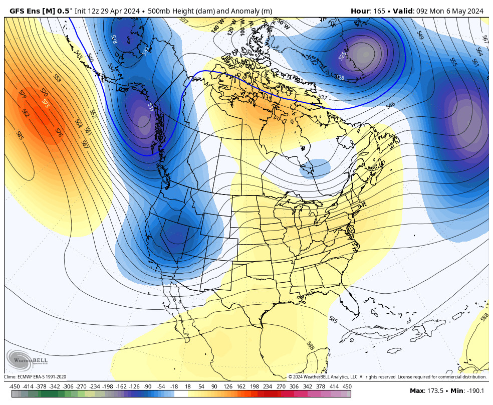
The GFS ensemble mean model shows a trough trying to dig into the West Coast around the 18th – 20th, possibly opening the door to a late-season storm. But the other models don’t buy into this as of right now, and show a dry pattern with well below-average precipitation continuing through at least the 20th or longer.
We’ll continue to keep an eye on the long-range trends to see if the models start to agree on a chance for any late-season storms that could bring us some snow. Until then, today will be my last daily forecast. I’ll be cutting back to every other day or so for now. If a storm pops up I’ll be on it. If not, then the forecasts could diminish through the end of April.
As of right now, the Alpine side is scheduled to close on 5/28 and the Olympic Valley side will try to stay open longer. Conditions permitting…
BA

