Snowfall Report:
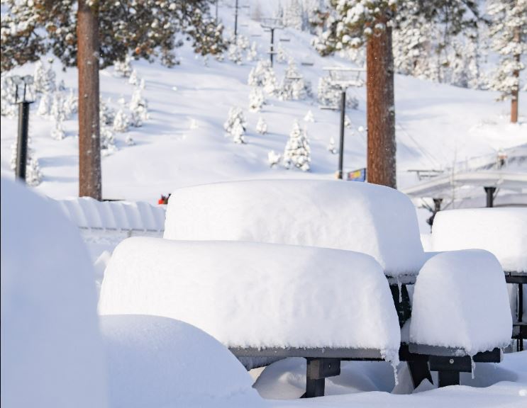
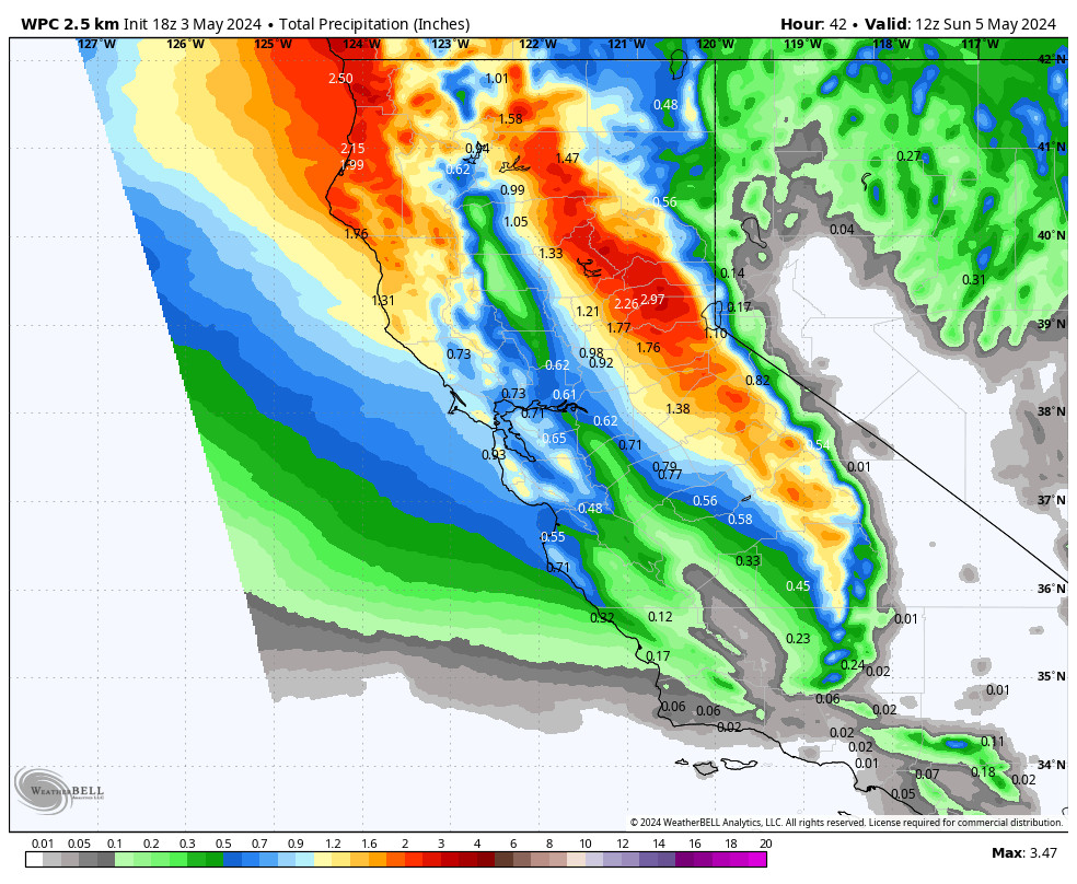
Most of the snowfall with the Monday storm hit to the south of the lake as expected. We were expecting rain & snow mix at the base which we saw, and 1-4 inches on the mountain. The heavier snow bands missed the mountain with only 1 inch of new snow falling on the upper mountain Monday.
Tuesday – Saturday:
High pressure is quickly building back in Tuesday. We have some breezy north winds up to 30+ mph up top Tuesday. Expecting mostly sunny skies with a few clouds at times expected through Saturday along with lighter winds. Highs into the 50s at the base and 40s up top. Nice weather for the first 2 days of the Winter Wondergrass Festival.
Sunday – Monday:
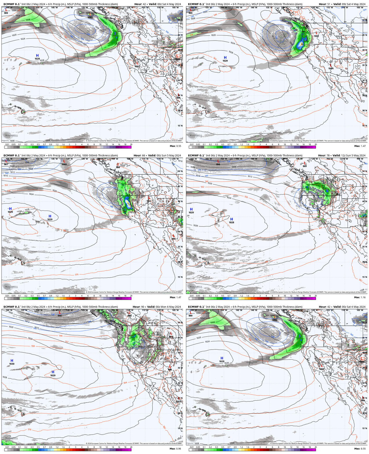
The next trough pushes in Sunday into Monday. That could bring a shot of slightly cooler air and breezy winds, but the latest model runs continue to keep the storm track to our north. We’ll continue to watch the trends in case a few showers pop up in the forecast.
Long-Range:
By next Tuesday through Saturday, the 9th high pressure is forecast to build back in continuing a dry pattern with mild temperatures.
Another trough could push in by Sunday the 10th into the week of the 11th. That could bring cooler air and breezy winds again. The storm track could stay to our north, but the long-range models suggest this trough could stick around for several days, so we could see a few showers pop up that week.
Overall no signs of any additional accumulating snowfall in the long range. We’ll continue to watch the trends to see if that changes.
BA

