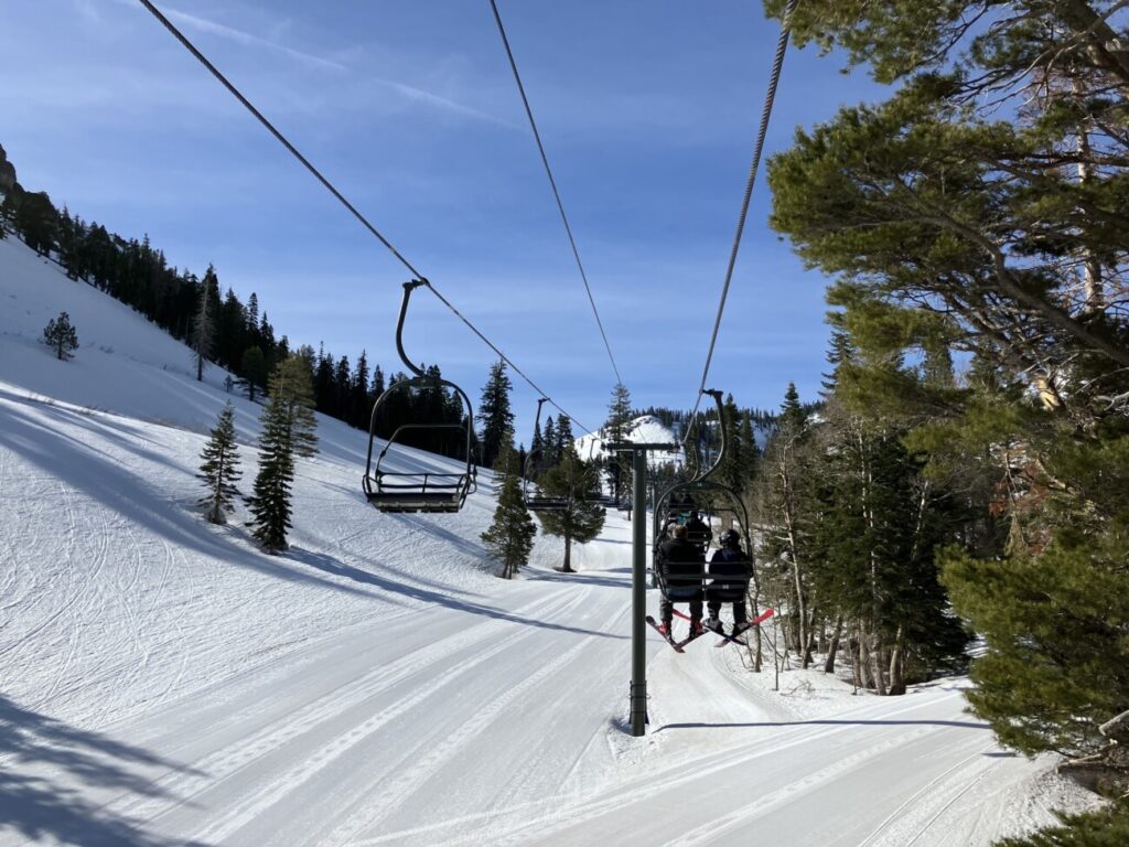
Friday:
We will see mostly sunny skies and highs into the 30s along with lighter winds Friday.
Weekend Snowstorm:
Another cold trough digs into the West Coast Saturday into next week. That will reopen the door to more cold storms Saturday into early next week.
We will see light snow showers move in around 2-4 AM Saturday morning with heavier snow by afternoon and into Sunday. We also expect ridgetop winds to increase to 80-100+ mph Saturday and then drop to around 40-50+ mph by Sunday afternoon. That will close some lifts Saturday and possible delays Sunday. Highs drop back down into the 20s for the weekend.
The snow intensity should could down later Sunday into Sunday night but snow showers continue. By early Monday morning here are the expected snowfall totals for the 2-day period.
- 23-31 inches at the base.
- 29-36 inches at mid-mountain elevations.
- 33-41 inches up top.
Monday – Tuesday:
Additional weaker waves continue the snow showers Monday and Tuesday with temperatures remaining in the 20s for highs. We could see a few to several more inches of snow on both days. The winds should be lighter as well.
Here is a look at the potential snowfall totals for the 2-day period.
- 3-8 inches at the base.
- 4-9 inches at mid-mountain elevations.
- 5-10 inches up top.
Long-Range:
Snow showers could continue into Wednesday morning with clearing expected by afternoon, and a break in the storms into Thursday. Highs warm back into the 30s by Thursday.
The latest model runs are still split on whether or not a strengthening Pacific jet stream extends into CA from the 9th-15th bringing us a wet pattern, or if it will be aimed to our north and help to pump high pressure over CA bringing us a drier and milder pattern.
We’ll continue to watch the trends with more details as we get closer.
BA

