Snowfall Report:
The snow showers that swept through with the cold front Wednesday night dropped a coating to an inch of snow on the mountain. Pretty much what we were expecting from this fast-moving and weak system.
Thursday:
Colder air has moved in for Thursday as skies clear. Highs in the 30s at the base and 20s up top as the sun comes back out. Ridgetop winds gusting from the northeast up to 60+ mph Thursday morning, and then dropping through the afternoon. That could cause a few early morning upper mountain lift delays.
Friday – Saturday:
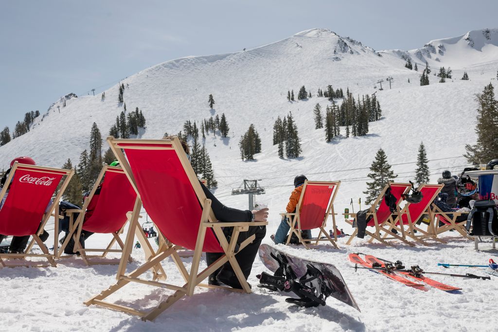
High pressure quickly builds back in over CA Friday into Saturday and we will warm up quickly. We are expecting mostly sunny skies with highs jumping into the 50s at the base and 40s up top both days. Friday could be the nicest day of the week.
Saturday is expected to be sunny & mild, but an active pattern is about to return to the Pacific NW with a storm by Sunday, so the latest model runs show winds ramping up quite a bit from the southwest through Saturday afternoon with ridgetop gusts up to 60-70+ mph by the end of the ski day, and even higher Saturday night. That could affect some upper mountain lifts by the end of the day on Saturday.
Sunday – Tuesday:
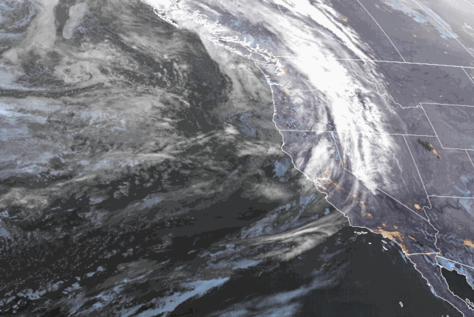
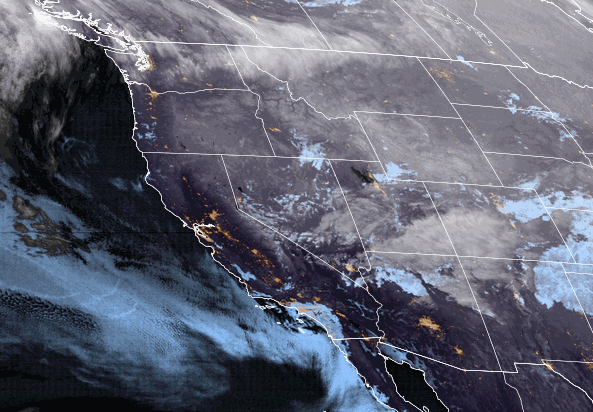
Starting Sunday through the following weekend, the forecast models continue to show a ridge over the southwest and troughs pushing into the Pacific NW with storms every 2-3 days. The ridge will be trying to keep the storm track to our north and the troughs will be trying to displace the ridge and push precipitation south into northern CA. It’s hard to say if and how much precipitation could reach the Tahoe Basin with each system with us being the southern edge of the storm track.
The first system for Saturday night into Sunday will likely bring some clouds and gusty winds. Ridgetop gusts up to 70+ mph Sunday morning could affect some upper mountain lift operations. Then falling through the afternoon. Highs drop into the 40s at the base and 30s up top. We could see a stray snow shower or two over the mountain but overall this system looks to stay to our north.
A quick rebound back to nicer weather Monday with mostly sunny skies and highs back into the 50s at the base and 40s up top. Then another system tries to dig south into the northern Sierra by Tuesday. We should see gusty winds, increasing clouds, and cooler temperatures again.
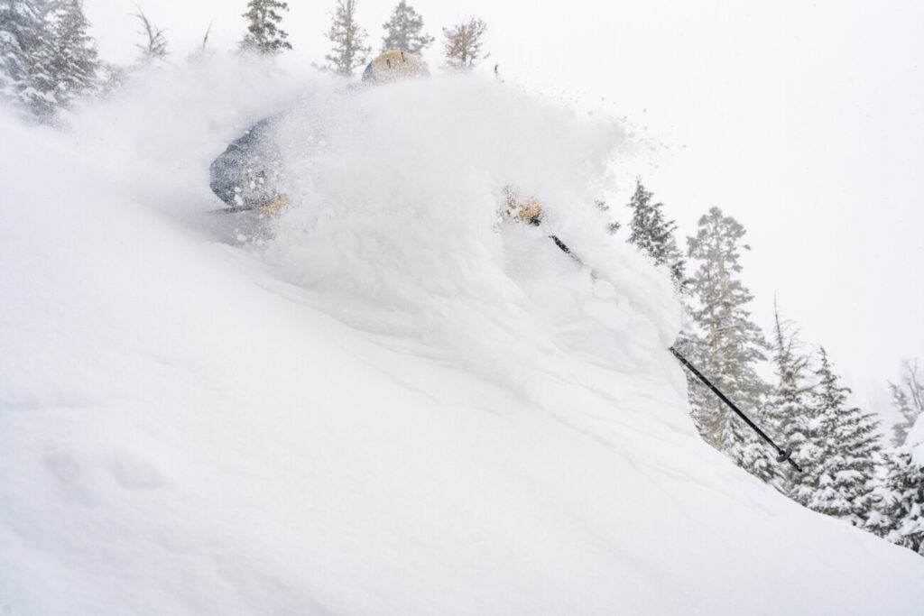
This system could push a bit farther south with light precipitation making it into the Tahoe Basin. We could see rain showers at the base and snow showers up top with a little wet snow accumulation. Snow levels look to stay above 7000 ft. We’ll fine-tune the details on this storm as we get closer.
Long-Range:
We could stay in a similar pattern through the long-range. The Pacific NW could stay active with northern Ca on the southern edge of the storm track. We will likely need to watch the trends on each storm to see if they could bring precipitation far enough south to reach the Tahoe Basin and how much.
BA