Monday Afternoon – Night System:
The next storm is expected to move in by later Monday afternoon into Monday night. It will be a colder and weaker system. Highs in the 30s at the base and 20s up top for Monday. Ridgetop winds gusting up to 30-40+ mph from the west during the afternoon.
The steadiest snow is expected Monday evening and tapers off by Tuesday morning. High snow ratios with powdery snow falling on the mountain as temps drop into the teens overnight. By Tuesday morning we could see new snowfall amounts of:
- 2-5 inches at the base.
- 3-6 inches on the mountain.
Tuesday:
A break for Tuesday with partly sunny skies and highs into the 20s & 30s. West winds could still be a little breezy up top, gusting between 20-40+ mph through the day.
Wednesday – Thursday Storm:
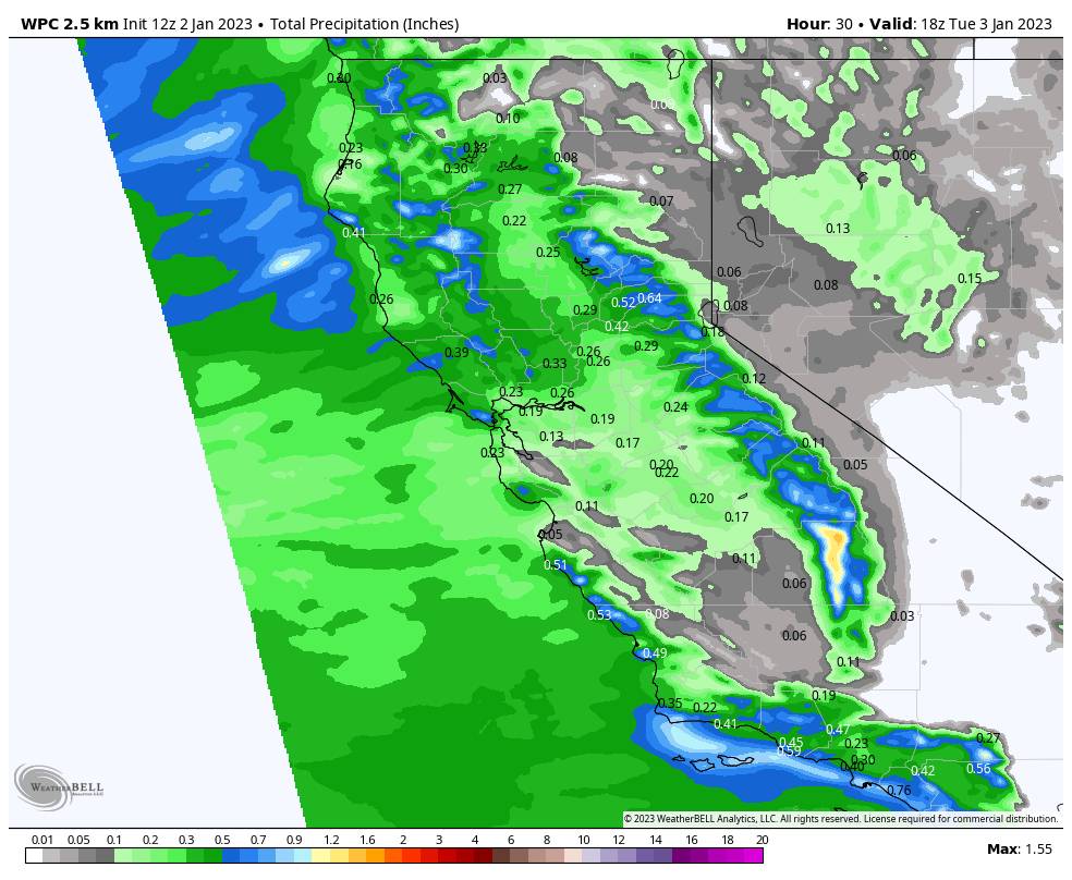
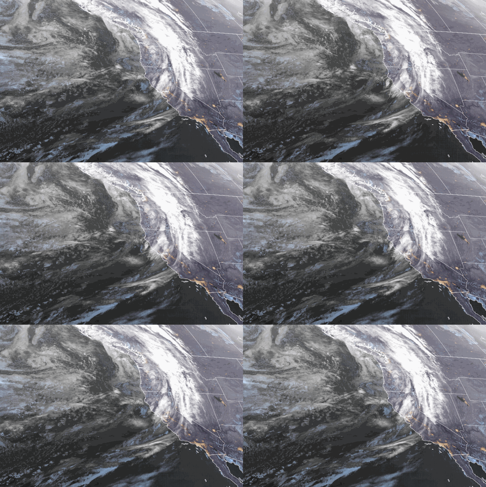
Another strong storm moves into northern CA Wednesday morning, but the southerly flow parallel to the Sierra could limit the heavy precip from reaching the mountain through Wednesday evening. We could see light-moderate snow showers through the afternoon and evening and rising snow levels as warmer air pushes in. We could see some rain below 7000-7500 ft. for a time Wednesday afternoon-evening.
We may only see 3-6″ of wet snow on the upper mountain above the snow line through Wednesday evening. Then the cold front pushes through later Wednesday night into Thursday morning with a period of heavier snow and falling snow levels. Snow levels drop below the base overnight. The snow becomes lighter behind the front Thursday afternoon and more scattered Thursday night before ending by Friday morning.
Highs in the 30s Wednesday and dropping into the 20s on the upper mountain Thursday. Ridgetop gusts up to 70-80+ mph from the south by Wednesday afternoon. That could close some upper mountain lifts. The gusty winds could continue Thursday with gusts from the southwest up to 50-60+ mph over the top ridges before falling later Thursday afternoon into Thursday night.
I’m going to assume that we see a period of rain at the base a mix up to mid-mountain Wednesday afternoon/evening in my snowfall forecast. Here is the updated snowfall forecast for this storm by Friday morning:
- 7-15 inches at the base.
- 15-21 inches at the mid-mountain elevations.
- 21-27 inches on the upper mountain.
Friday:
We should see another break in the storms for Friday with partly sunny skies and maybe a few scattered snow showers around. Highs in the 30s at the base and 20s up top. Light winds are expected during the day
The Weekend:
The forecast models are split on whether or not the storms trying to move into the West Coast this upcoming weekend will split apart as they encounter high pressure to our east, or will be able to reach the Sierra. We’ll be watching the trends all week. We could see lighter snow Saturday and if some models are right we could see heavier snow Sunday if the storms reach the Sierra.
Long-Range:
Storms are expected to continue into the week of the 9th. A weaker system is possible for Monday the 9th and possibly another wet storm for the 10th. The active pattern could continue through mid-month. More details as we get closer…
BA


