Tuesday – Wednesday Weather:
We will continue the cool and dry pattern through Wednesday with partly-mostly sunny skies each day. Highs into the 40s for the lower elevations near the base and 30s for the upper mountain.
Thursday System:
The latest trends continue to be for 3 systems to try and dig south into the northern Sierra Thursday through Sunday. But they are starting to agree on a drier day for Friday, so I’m going to break up the snowfall forecast into just Thursday-Thursday night, and then jump to the weekend.
The first system is pretty weak and falling apart as it moves through northern CA on Thursday. We could see some light and scattered showers during the day into Monday night along with some colder air and highs in the 30s. Snow levels should be hovering near the base around 6000-6500 ft. Thursday and falling below 5000 ft. Thursday night.
Whether you take the high end of the forecast or the model average it’s still not much snow. The low snow levels are nice and snow ratios could average up to 12:1 around 8000 ft., but based on the latest model runs Tuesday morning I’m only forecasting up to 1-3 inches of snow at best by Friday morning.
Weekend Systems:
Friday we could see some clouds and a stray shower, but overall the trend is fairly dry between systems on Friday. It stays cool with highs mainly in the 30s.
The next system is forecast to brush the northern Sierra Friday night into Saturday with more light precipitation with snow levels expected to stay below the base. Right on the heels of that system, a warmer system is forecast to brush us again Sunday – Sunday night. This time warmer air could rush in and jump snow levels up to 8000+ ft. by Sunday afternoon, so it could be a good thing precipitaiton amounts look light again.
The total model average for precipitation over the weekend is around 0.5 inches over the mountain. For snowfall, we have to account for rain Sunday as warmer air moves in on top of the already low precipitation totals from most forecast models this morning. That has me coming up with 1-5 inches of snow in total from base to summit over the weekend.
Long-Range Forecast:
By Monday we still expect high pressure to win out and to build in over the West with a drier and milder pattern for at least the first half of next week. Highs warm into the 40s and could reach 50 degrees for the lower elevations near the base by Tuesday.
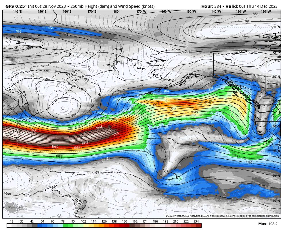
The battle continues between the storms in the northeast Pacific and the high-pressure ridge over the West. Some of the long-range models try to flatten the ridge at times with storms into the Pacific NW that try to brush the northern Sierra. One could try later next week…
But overall the ensemble mean models show high pressure dominating more than not over the West through the 2nd week of December. Storms that reach us, if any, look to be weakened and only brush us with light precipitation. Temperatures over the period are forecast to be above to well above average for much of the U.S. and North America.
We’ll continue to watch the trends and hope for a pattern shift or for the storms to have better luck in pushing farther south as we go through December…
BA


