Snowfall Report:
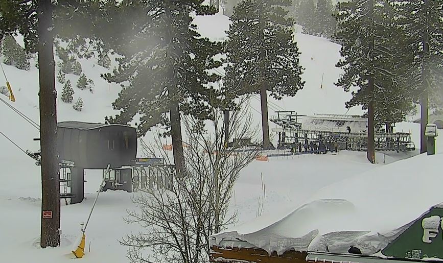
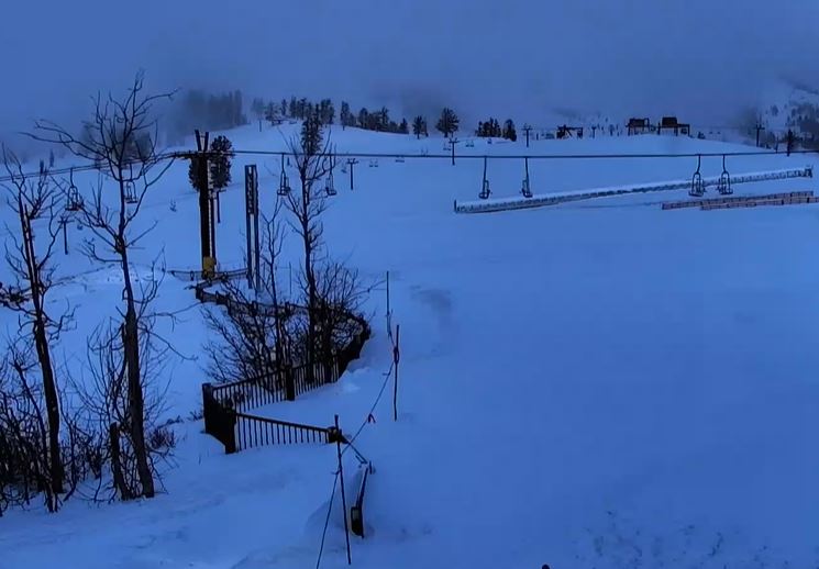
12 inches of new snow fell on the upper mountain Wednesday night, and 8 inches at the base. That is the lower end of the forecast for the storm, which moved through a bit faster than expected overnight. But we still have some snow falling Thursday morning with another inch or two possible.
Thursday – Friday:
The snow showers will diminish through the day on Thursday and so will the gusty winds. Highs in the 30s. Friday we will see a fairly nice day with partly sunny skies and lighter winds. Highs into the 40s for the lower elevations and 30s for the upper elevations.
Wimpy Saturday Storm:
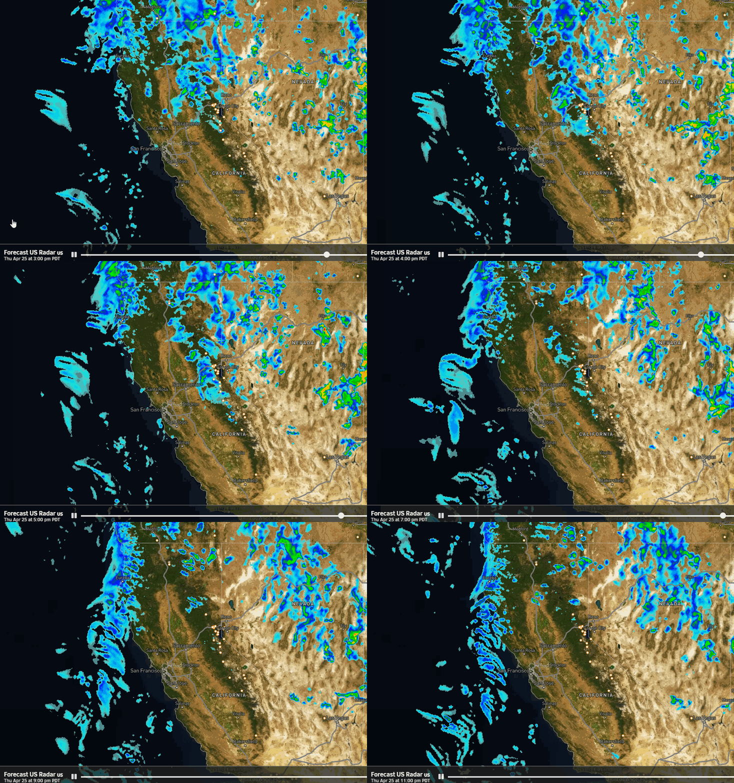
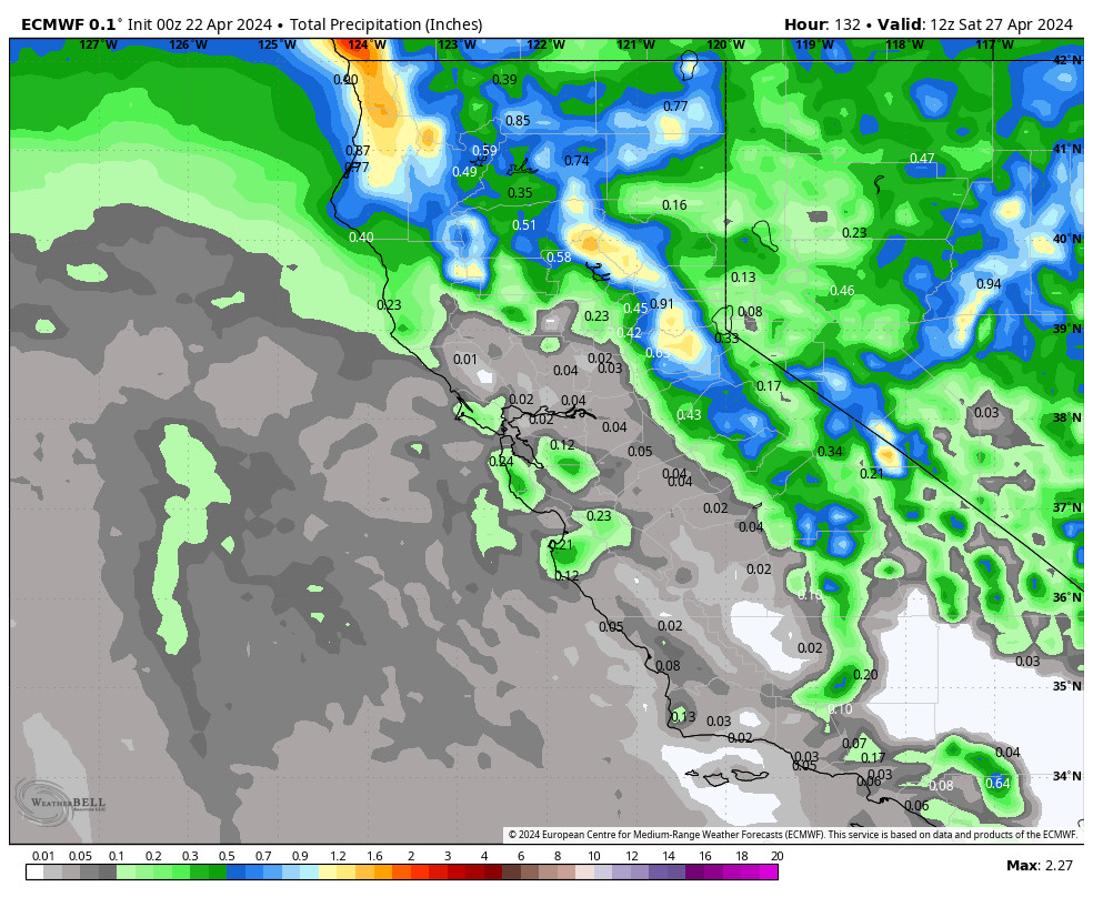
Not much change to the forecast for the Saturday storm. It will look impressive moving into CA but will split apart and weaken quite a bit by the time it reaches the Sierra. We will see increasing clouds and winds during the day, and maybe a few rain and snow showers. Ridgetop winds gusting up to 50-60+ mph by afternoon.
The showers should increase through the afternoon with a period of steadier snow expected Saturday night as the front moves through and then clears out Sunday morning. The latest model runs continue to show light precipitation amounts for the northern Sierra and Tahoe basin.
The snow levels look to start up around 7500-8000 ft. as light showers move in Saturday, with some rain for the lower mountain. Then falling to around 6500-7000 ft. Saturday evening as steadier showers move in, and down below the base by the end Sunday morning.
That means we do expect some wet snow down to the base by the end. But overall a low precipitation and low snow ratio storm. We could see around 1-4 inches near the base, 2-6 inches near mid-mountain, and 3-7 inches on the upper mountain by Sunday morning.
Sunday Weather:
We clear out Sunday with partly sunny skies and lighter winds. It could be similar to Friday’s weather. Highs in the 40s for the lower elevations and 30s for the upper elevations.
Sunday Night – Tuesday/Wednesday Storm:
The next storm moves in by later Sunday night into Monday. The initial surge of moisture is expected to be the heaviest into Monday as an AR is pointing toward central & Southern CA. We stay on the northern and colder side but should see some heavier rain and snow.
Then as the center of the low pressure system off the coast moves inland Tuesday – Wednesday we could see showers. The models don’t agree on the exact track and precipitation amounts, but overall on the lighter side compared to Monday. Then some clear the storm by Tuesday night with some lingering showers into Wednesday.
Ridgetop winds from the south on Monday could be gusting up to 50-60+ mph, and then they should be a bit lighter for Tuesday – Wednesday. Highs in the 30s.
Snow levels are going to start high Sunday night initially, up around 7000-7500 ft., and then are going to try to hold near lake level Monday, around 6000-6500 ft., so we could see some rain mixing in at the base. Then possibly the same for Tuesday, and Wednesday. So not a cold storm with lower snow ratios expected.
We could see 3-day totals of around 10-15 inches at the base, 14-20 inches near mid-mountain, and 17-23 inches for the upper mountain by Wednesday. Most of that is expected to fall by Tuesday morning, with lighter amounts possible for Tuesday and Wednesday.
Long-Range Forecast:
We were expecting a drier pattern for next Thursday through Saturday the 24th, with weak high pressure over the region. But the latest model runs show a weak system near the West Coast during the period, with some moving through with some rain and snow at some point during the 3-day period, so we’ll keep an eye on that.
Outside of that, we should see partly-mostly sunny skies with highs in the 30s on the mountain and 40s for the lower elevation near the base.
The long-range models still show a shift to a -PNA/cold West Coast trough pattern for the last 4-5 days of the month. That could funnel colder and colder air down from the north over several days into the beginning of March.
We will have to see if some storms will drop into the trough through the period. If they do they should be cold storms with low snow levels and powdery snow, so I’m excited to see if this pattern sets up, and to watch for any good storms!
BA

