Wednesday – Thursday:
Wednesday, skies start clearing with partly sunny skies. Highs in the 30s on the mountain to around 40 degrees at the base.
For Thursday we are expecting partly sunny skies again with increasing clouds later in the day ahead of the next system. Highs in the 30s on the upper mountain 40s at the base. Ridgetop winds increasing from the west with gusts up to 30+ mph up top by afternoon.
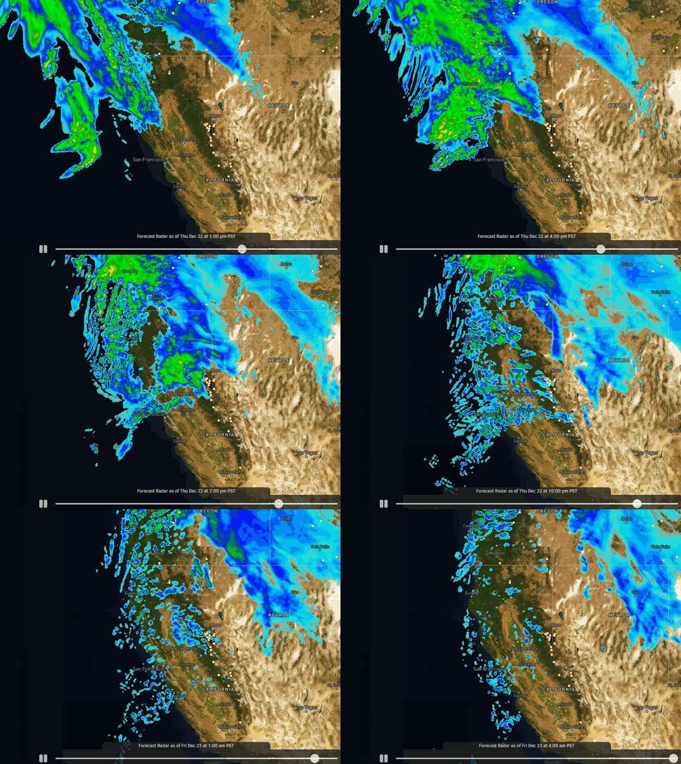
Thursday Night Showers:
Thursday night a weak system will brush the northern Sierra with a few showers. Snow levels could be above 7000-7500 ft. with some rain showers at the base and maybe a dusting to an inch of snow on the upper mountain by Friday morning.
Friday thru Monday:
Strong high-pressure builds in over CA for Christmas weekend. Partly sunny Friday and Monday as one system departs and the next moves closer. Saturday and Sunday we should see mostly sunny skies and lighter winds.
Milder temperatures starting Friday. Highs into the 40s Friday and then 50s at the base by Sunday. Overall a pretty nice weekend is expected for skiing and travel. Expect soft snow by midday each day.
Long-Range:
Starting the 27th through the end of December, the long-range models continue to show a shift to a wetter pattern. The first storm could move in sometime on Tuesday with additional storms possible through the New Year’s weekend.
These storms could be quite wet and windy. We are expecting high snow levels to start with each storm and strong winds. Snow levels could fall during the storms but not before we could see heavy rain at the base and lower mountain areas, and heavy wet snow on the upper mountain.
We’ll continue to watch the trends as we get closer. You’ll want to stay tuned to the forecast if you plan to be at the mountain or in the Sierra Tuesday through the New Year’s weekend.
The active pattern could continue into the first week of January.
BA


