Drier Pattern Ahead:
We have a cold morning Friday with temperatures in the 20s and teens which is good news for snowmaking. Friday we will start our week of mostly sunny skies but it starts out cold with highs only in the 30s for the lower elevations and 20s for the higher elevations.
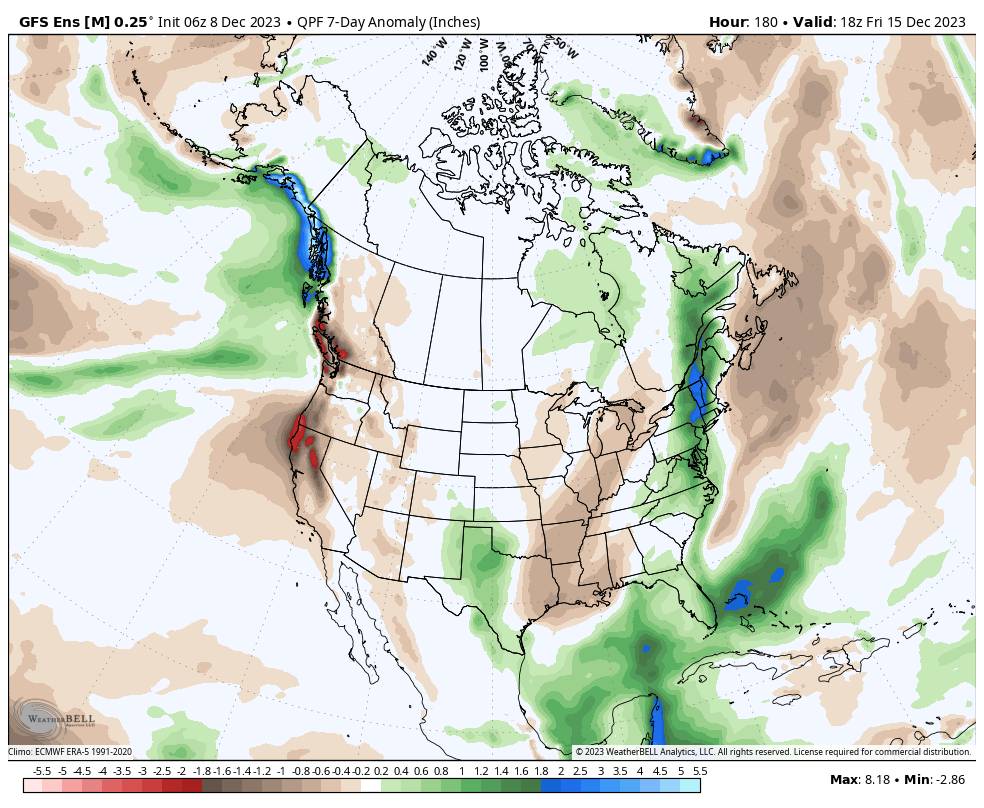
High pressure is forecast to dominate our weather pattern for the next 7 days through next Friday the 15th. We expect mostly sunny skies each day with highs into the 40s for the lower elevations and 30s above 8000 ft. No precipitation is currently forecast with the models showing well below-average precipitation through the period.
Long-Range Forecast:
The long-range models continue to try and push a trough into the West Coast for the weekend of the 16th-17th. They have been showing this all week. But it will be trying to displace the large high-pressure ridge and any troughing is forecast to be minimal with any storms likely weakening as they move into the West Coast.
Either way, we’ll continue to watch the trends because we could see the door open to a storm for a couple of days, with a possible storm moving through northern CA around the 16th-17th. We’ll continue to watch the trends to see if we could just see a weak system with some light snow, or if a storm could spin up and pull in enough moisture to bring us a bit more snow next weekend.
Beyond 10 Days:
I don’t like to forecast beyond 10 days because the accuracy of the forecast models historically falls off a cliff, but with the dry pattern, I’m going to dabble today. Beyond 10 days, the long-range models continue to show high pressure quickly building back in over the West Coast the week of the 18th, with a drier pattern returning behind any storm next weekend.
That means the well below-average precipitation is expected to continue leading up to the Christmas holiday, even if we see more snow the weekend of the 16th-17th. Hopefully with the storms we just had, on top of previous snowmaking, additional snowmaking this upcoming week, and possible snow next weekend, the mountain can continue to expand open terrain and get a decent amount of the mountain open.
Last Week of December:
Look way out there for any signs of hope there are some for the last week of December, the long-range models are showing a very large low-pressure trough sitting in the northeast Pacific near the West Coast by Christmas Eve, and possibly beyond.
Looking at the latest jet stream forecasts they show a very strong jet stream coming off of Japan by the 17th and extending closer to the West Coast by the 24th.
IF that pattern and jet stream forecast continues for late December, I would expect to start seeing storms show up around Christmas through the last week of December as that period comes into the 2-week forecast window. A Christmas Miracle? We’ll see…
BA


