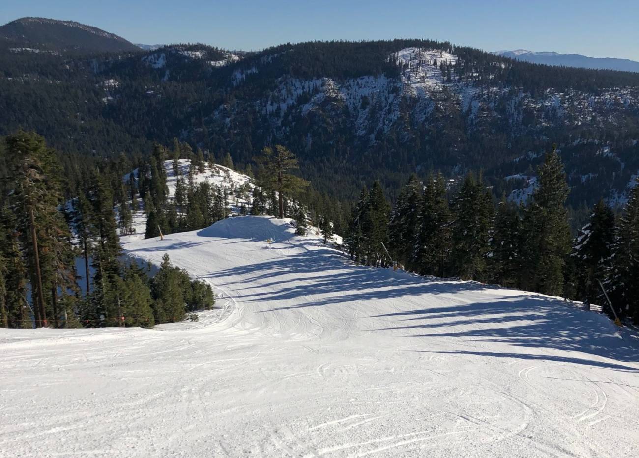
Squaw & Alpine are now open for the 2020-2021 season! I was able to get out for a few turns on opening day and the groomers were in good shape. I took the picture above on Tuesday.
Wednesday – Thursday:
A cold front is moving through the region Wednesday. That could bring some clouds and a few snow showers over the mountains late morning into the afternoon. Not expecting more than a dusting of snow if we see any snow showers. Ridgetop winds gusting from the west up to 50+ mph ahead of the front. Highs in the 30s on the mountain with falling temperatures behind the front.
The cold air stays in place for Thanksgiving Day. Highs near freezing at the base and only in the 20s for the upper mountain. We will have east winds gusting up to 50 mph which will make it feel even colder. The good news is that the snowmaking team should be able to make snow through most of the day.
The Weekend:
Friday through the weekend high pressure builds back in with mostly sunny skies and lighter winds expected. Highs in the 40s. Overnight lows in the teens and 20s for continued snowmaking.
Monday System:
The next system moving into the West Coast Monday is now trending farther south into northern CA with the track on the latest forecast model runs. We will continue to watch this system over the next few days as it could bring light snow to the mountain Monday into Monday night. We will likely see gusty winds again on Monday as well.
Long-Range:
The latest long-range model runs continue to show a drier pattern setting up through the 1st week of December as high pressure builds in over the Western U.S.
The pattern may not flip back into an active pattern until around mid-December into the 3rd week of December. That doesn’t mean we won’t see any storms until then, just that the pattern is not looking favorable for an active storm track or any big storms. We will continue to watch the long-range for the first sign of storms returning.
Happy Thanksgiving!
BA


