Snowfall Report:
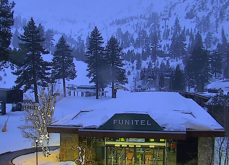
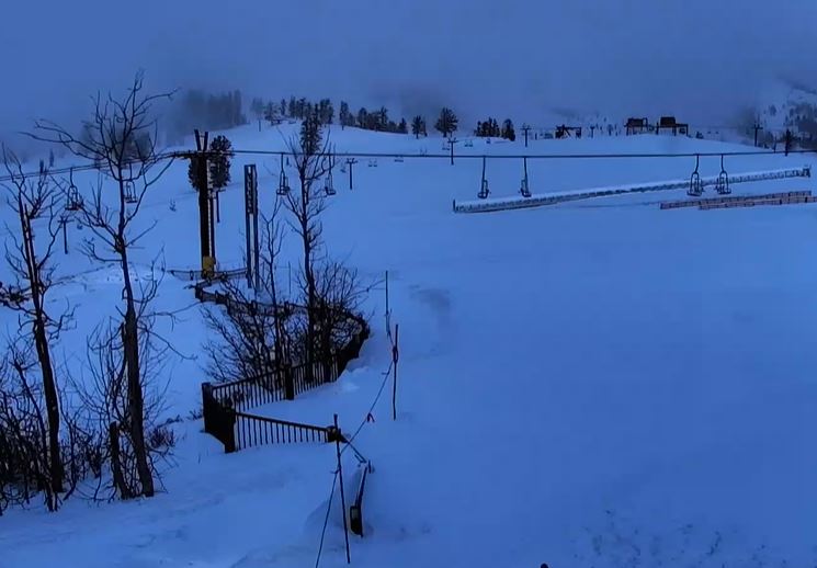
The system that moved through overnight fell apart as expected. The forecast was for a dusting up to 3 inches of snow. It was still snowing when the measurement was taken early Monday morning and continued to snow into the morning hours before ending. So there should be close to an inch of fresh snow on the mountain.
Monday Weather:
The cloudy skies will break through the day with partly sunny skies expected. Highs into the 30s. Ridgetop winds were still gusting up to 50-60+ mph early Monday morning, but are expected to drop through midday before increasing again by Monday evening.
Monday Night – Tuesday Storm:
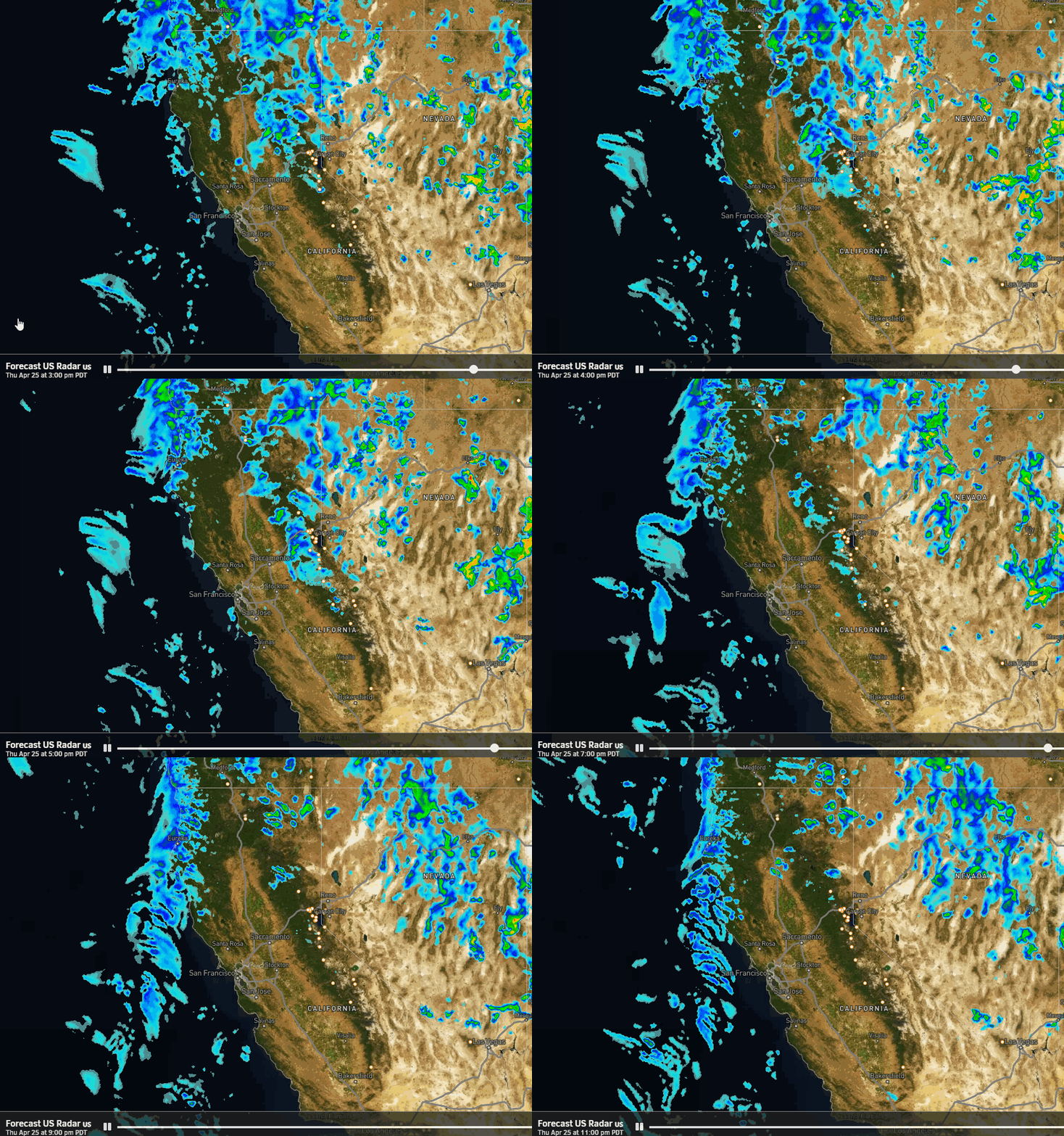
The next system looks impressive approaching on the satellite images, but it too will weaken as it reaches the northern Sierra Monday night into Tuesday. We should see snow showers move in Monday evening with a period of steadier snow into Tuesday morning and then the showers becoming more scattered Tuesday and clearing by Tuesday night.
The winds increase with ridgetop gusts up to 60-70+ mph from the west into Tuesday morning, and then slowly coming down through the afternoon. That could cause a few upper mountain lift opening delays. Highs in the 30s.
Snow levels aren’t very low and could hover near to just below the base Monday night, and rise to around 6000-7000 ft. Tuesday. That means low snow ratios with wet snow for near the base with a little rain possible with any leftover showers on Tuesday.
We could see 1-4 inches of new snow near the base and 2-6 inches on the mountain by Tuesday.
Wednesday – Friday Sun & Winds:
High pressure starts to build in on Wednesday through the end of the week, but a cut-off low to our southeast will help to increase the northeast pressure gradient and winds, with the winds increasing later Wednesday into Thursday, and slowly diminishing through Friday. Gusts up to 50-60+ mph over the ridges.
That could affect a few upper mountain lifts on Thursday and will make it feel colder than the air temperatures. But we will see mostly sunny skies and highs into the 30s on the mountains to near 40 degrees at the base on Wednesday and Thursday, and then a bit warmer into the 40s on Friday.
The Weekend:
The winds drop off and the temperatures warm for the weekend. We will see sunny skies with highs into the 50s, with 40s above 8000 ft.
Long-Range Forecast:
High pressure over the Pacific NW starts to weaken a little and shift into the northeast Pacific next week, but we should stay dry for the first part of the week through the 19th – 20th.
By the 21st in the last week of March, the long-range models continue to show the ridge farther up into the Gulf of Alaska, opening the door to storms dropping down the east side from the north, or undercutting the ridge from the west.
The easier part of the forecast this far out is the temperatures which should be colder as the clockwise rotation around the ridge should help to drive some colder air south into the Western U.S. for the last week of March.
The harder part is knowing if we could see anything more than weak systems moving through from the north and west. Going into late March we would expect a better chance for weaker systems, but if a storm moves slowly down the West Coast and/or combines with moisture moving in from the west, we have the chance for a bigger snowstorm to develop before the end of the month.
We’ll continue to watch the trends closely…
BA

