

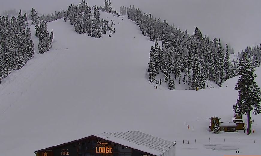
Snowfall Report:
The storm performed as expected so far with 5 inches falling at the base and 9 inches up top in the past 24 hours as of 5 AM Saturday.
Saturday – Sunday Snow:
We have a bit of a lull Saturday morning along with lighter winds so it should be a fun powder morning. Low pressure off the coast is still in control rotating moisture up from the south with not much precipitation falling over the Sierra.
Steadier precipitation on the east side of the low is forecast to push back into the northern Sierra through Saturday afternoon, and then a secondary low-pressure center over Nevada takes over and the flow turns more easterly and then northerly through Saturday night. If the latest model runs are right that could be much of the Tahoe basin.
Highs in the 30s for Saturday and Sunday with the snow showers winding down Sunday morning, and partly sunny skies by afternoon, which could make the fresh snow wet in the lower elevations later in the day.
By Sunday morning we could see an additional 1-5 inches near the base, 3-7 inches near mid-mountain, and 5-9 inches up top. That would bring the 2-day storm totals to around 14-18 inches up top.
Monday – Wednesday Weather:
High pressure builds in Monday through Wednesday over the West Coast. That will bring mostly sunny skies each day. Highs into the 40s Monday and then 50s for Tuesday and Wednesday. We could see some gusty northeast winds Monday into Tuesday over the ridges, and then increasing southwest winds with strong gusts by Wednesday night ahead of the next storm.
Colder & Unsettled Pattern Returns:
The latest model runs continue to show a cold trough digging into the West by Thursday, and hanging around through Monday the 8th. That will open the door to storms dropping in from the north-northwest. The question will be do they track down the coast and miss us, track down the coast tapping into Pacific moisture, or track down more over land with a lack of moisture?
We could see some snow with the initial cold front between Wednesday night and Thursday and some snow showers Thursday into Thursday night as the first storm drops in from the north. The forecast models have been struggling with the track of this storm and how much moisture it will have. I’ll start to break down the potential snowfall amounts on Sunday morning.
They are also struggling with the track of the storms behind that for next weekend and a final storm possible on Monday the 8th. We’ll be tracking those storms with more details over the next week. Overall the ensemble mean models show near to slightly above average precipitation over the 5-day period.
Long-Range Forecast:
The long-range models continue to show high-pressure building in over the West Coast starting around the 9th through at least the 14th of April. The ensemble mean models show a drier pattern developing during this period. We should see nice spring weather with sunny days and milder temperatures.
There are signs of a possible shift in the pattern during the 3rd week of April with troughing trying to push back into the West Coast, but it will be hard to see wetter storms as we get later in the month. I’ll keep an eye on the long-range trends through the end of April.
BA
