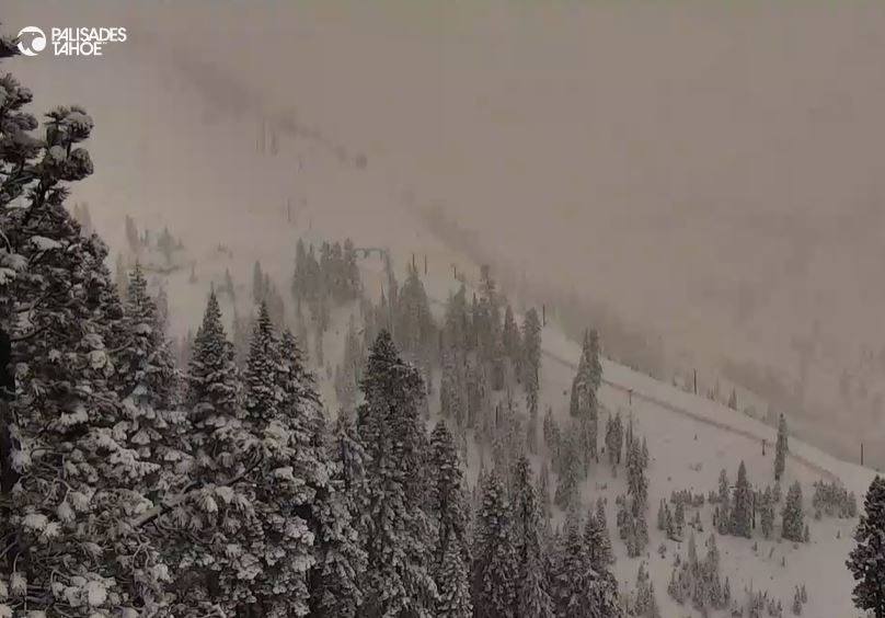
Snowfall Report:
8 inches of new snow fell in the past 24 hours on the upper mountain and 4 inches at the base. That brings the 2-day storm total to 9 inches so far!
Sunday – Monday Storm:
We have a lull in the steady precipitation during the day on Sunday similar to Saturday. We will have scattered showers throughout the day. Highs in the 30s. The winds are only gusting up to 30-40+ mph from the SW over the ridges, and that is expected for most of the day before they increase Sunday night.
The showers will increase through the evening as the next round of heavier precipitation moves into CA. The heavier precipitation moves in overnight into Monday morning. The showers will continue Monday afternoon but diminish by evening, and then we clear out Monday night.
The snow levels are around 5500 ft. early Sunday morning. Warmer air will work in through the day and the lack of heavier precip will allow them to rise a bit higher. They could be up around 6500-7000 ft. by evening. Then drop as the heavier precip moves in overnight night, down to around 5800-6300 ft. by early Monday morning.
That means we should see some wet snow near the base during the heaviest part of the storm. But low snow ratios. On the mountains, snow ratios could average 9-13:1 from 7000 up to 9000 ft. With the model average increasing precipitation around 2-tenths of an inch, my final forecast is for 4-9 inches at the base and 7-14 inches on the mountain above 7k’ by Monday night.
Tuesday :
We should see partly sunny skies for Tuesday with highs into the 30s and near 40 degrees down near the base.
Wednesday System:
We still look to get brushed by a fast-moving and weak system on Wednesday into Wednesday evening. The winds from the west may increase with gusts up to 40-50+ mph over the exposed ridges during the day. Highs into the 30s.
We could see rain and snow showers move in Wednesday morning with some steadier showers during the day and then clearing out by later Wednesday night.
Snow levels May start up around 7000-7500 ft. Wednesday morning, but then falling to around 6300-6800 ft. by evening. If we see some heavier showers snow levels could drag low enough for a little wet snow down to the base. Then snow levels fall below 6000 ft. by the end Wednesday evening.
We could see a coating up to 2 inches of snow near the base, and 1-4 inches on the upper mountain by Wednesday night. We’ll continue to watch the trends over the next few days.
Thursday – Friday:
High pressure begins to build over CA with a drier pattern starting to build in. We should see partly-mostly sunny skies on both days. Highs into the 30s for the upper elevations and 40s for the lower elevations.
Long-Range Forecast:
The long-range models continue to show high-pressure strengthening over the West through the last week of January. That should bring us a dry and mild pattern through at least the 30th. Partly-mostly sunny skies are expected each day with highs into the 40s.
The long-range models continue to show the pattern starting to change around the last day of the month into the first week of February, with a large trough over the West Coast. That could open the storm door fairly wide through the first week of February.
We could see the first weak system as early as the 31st, but then some stronger storms could move into CA after that. The ensemble mean models continue to show above-average precipitation for the Sierra through at least the first 5 days of February. We’ll continue to watch the trends…
BA


