Snowfall Report:
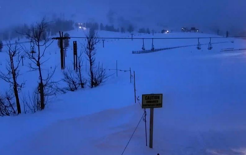
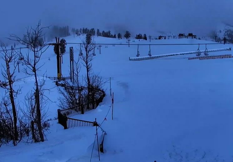
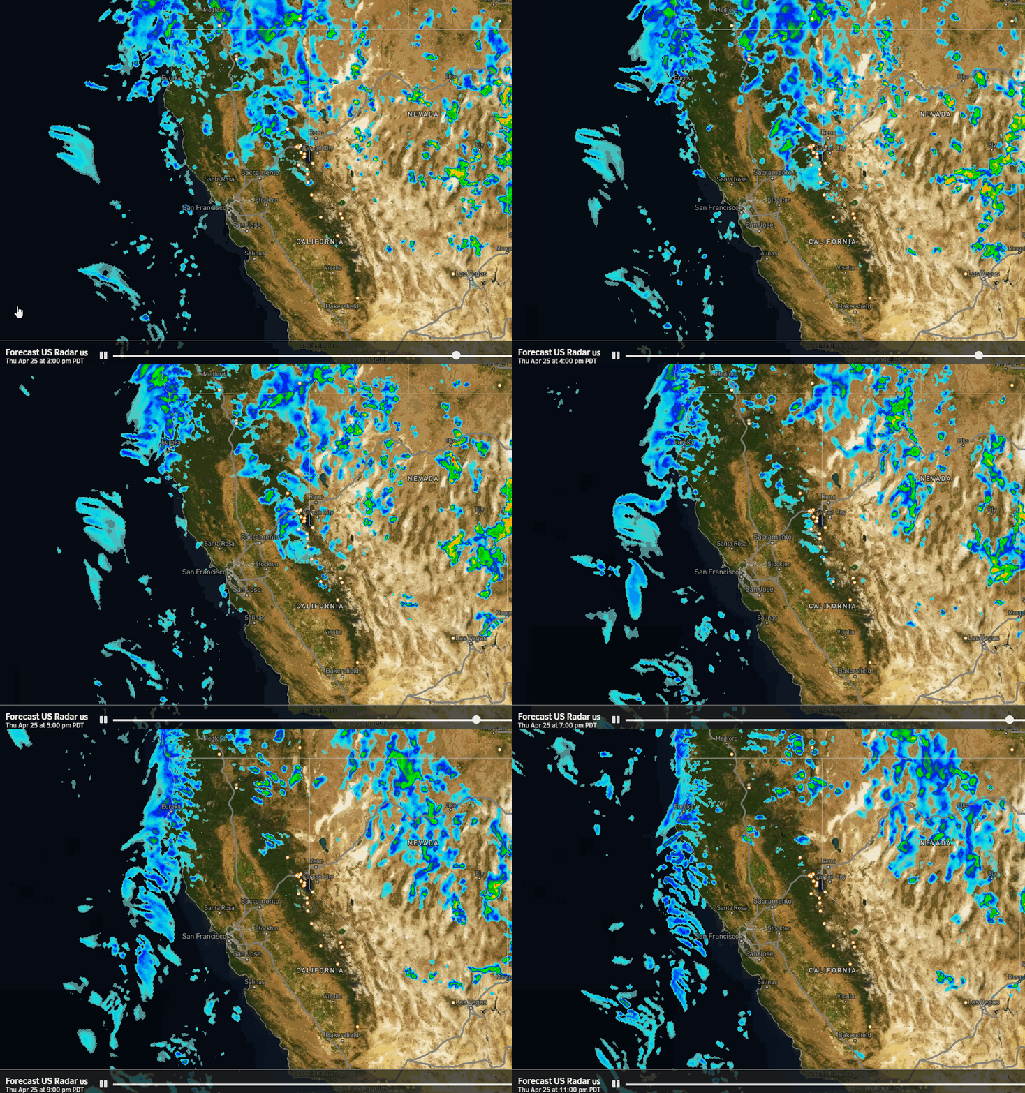
Every single forecast model was wrong with their precipitation forecasts for Wednesday night’s cold front. It fell apart as it reached the northern Sierra instead of south of Tahoe. The models had 1-2″ of precipitation falling over the mountain and we only received around 0.8″. Therefore, the snowfall overnight was around half of what we expected, with 2″ at the base and 8″ up top.
It’s still another fresh tracks morning and that 8 inches brings the total for March up to 145 inches so far, with more snow on the way for the weekend!
Thursday Weather:
We will see a little clearing Thursday with partly sunny skies and dropping winds, with highs in the 30s. We could see some scattered snow showers, but only expecting very light accumulations if any.
Friday – Sunday Storm:
A closed low will approach the West Coast on Friday and will spread snow showers over the Sierra through the day. Then steadier snow showers are expected Friday night into Saturday as the low moves down the coast. Then scattered snow showers could linger into Sunday. We are not expecting strong winds with this storm. Highs in the 30s.
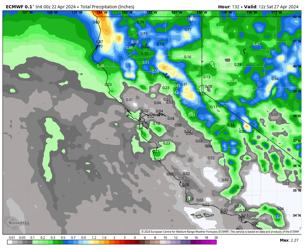
The latest model runs show a high-end of 1-2 inches of precipitation falling again with this storm but over 3 days and not in one night. The snow levels will fluctuate between 4000-6000 ft. through the weekend, But overall we should see all snow to the base. The snow ratios could average around 9-15:1 between 6000-9000 ft.
We could see storm totals by Sunday afternoon of around 9-14 inches at the base, 12-17 inches near mid-mountain, and 14-20 inches up top. Around half of the snowfall is expected by Saturday morning with the other half falling Saturday into Sunday.
Monday – Wednesday:
High pressure builds in over the West for Monday through Wednesday. That will quickly bring a return of spring weather. Mostly sunny skies are expected each day with highs into the 40s on Monday, and then into the 50s for the lower elevations on Tuesday and Wednesday.
Long-Range Forecast:
The long-range models continue to show a trough digging back into the West from the 4th – 8th. That will bring a return of colder air and will open the door to weak storms dropping down from the north. The first could be associated with the initial cold front on Thursday the 4th, and then maybe another weak system or two through the 8th. But overall nothing significant showing up right now.
By the 9th through the 2nd week of April, the long-range models continue to show high pressure in the eastern Pacific shifting closer to or over the West Coast. That could bring a prolonged period of sunny and mild spring weather.
BA


