Snowfall Report:
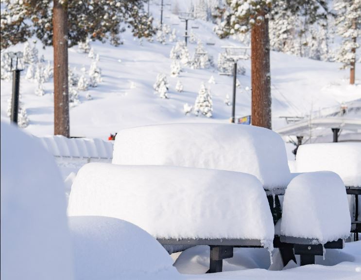
The snow showers on Thursday dropped another 4 inches on the upper mountain and 1 inch at the base. That brings the 2-day storm totals to 8 inches so far.
Friday Snow Showers:
For Friday we have another small surge of moisture rotating into the northern Sierra during the day with scattered snow showers lingering into Friday night. Highs into the 30s near the base and 20s for the upper mountain. Ridgetop winds from the west could be gusting up to 40-50+ mph by afternoon.
Snow levels well below the base with fairly light-density powder for the upper mountain. We could see an additional 2-6 inches at the base and 4-8 inches on the upper mountain by Saturday morning. That would bring the storm totals right into the expected range of 13-18 inches for the 2-.5 day storm.
Saturday Weather:
We could see a few scattered snow showers on Saturday. We should see some sun and lighter winds with highs in the 30s near the base and 20s for the upper mountain.
Saturday Night – Monday Night Storm:
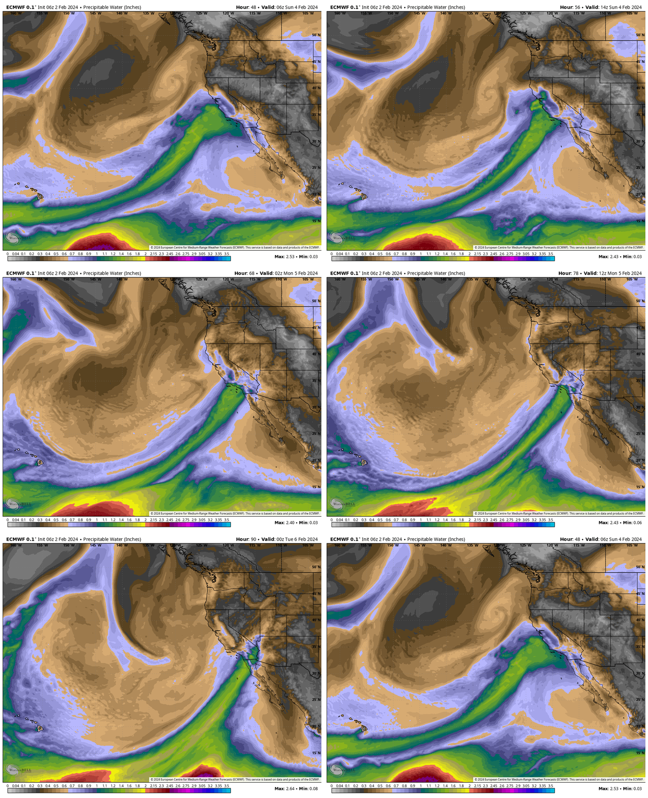
We could see some snow showers Saturday night, with the heavier snow moving in from the south and possibly arriving between midnight and 4 AM, with very heavy snow expected during the day on Sunday. This is going to be the perfect setup for heavy snow with cold air already in place and an atmospheric river initially aimed at the northern Sierra on Sunday.
The changes this morning are for higher snowfall totals for Sunday, and less snow now for Monday as the low moves north, and the AR (atmospheric river) is forecast to drop quickly south into far southern CA by Monday. The other changes with the latest scenario would be less time for the AR to draw in warmer air, and also the winds dropping a bit faster Monday afternoon.
Highs are expected to be near freezing at the base and 20s on the mountain for both Sunday and Monday. Ridgetop winds from the south on Sunday start lower but could be gusting up to 50-60+ mph by the end of the day. Then on Monday starting out with gusts up to 60-70+ mph but winds could drop off by the end of the day.
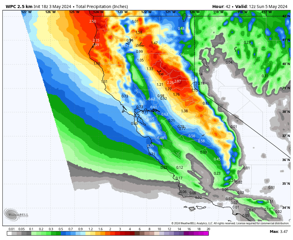
The snow levels look to stay below the base through the storm. Snow ratios could average 10-17:1 from the base up to 9k’ which is high for a storm this wet! The higher snow ratios combined with heavy precipitation are the perfect combination for high snowfall totals. In total by Tuesday morning, we could see 2-3 feet of snow at the base and 3-4 feet on the mountain.
Tuesday – Friday:
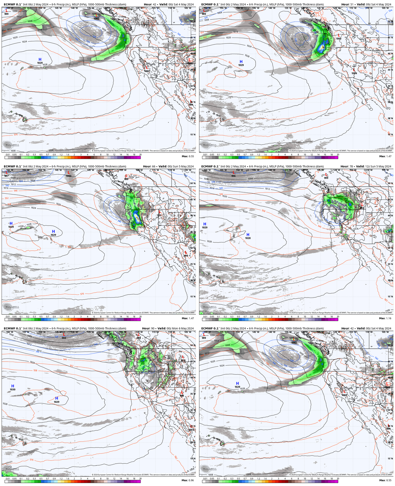
The trough is forecast to remain over CA keeping the storm door open. We could see some lingering snow showers on Tuesday. The Canadian model shows another storm for Wed-Thu, but the other models show any other systems moving through being fairly weak with only chances for scattered snow showers the rest of the week.
We’ll continue to watch the trends to see if we could see anything more than just a few snow showers before we transition to a drier pattern. We will stay somewhat cold with highs likely remaining in the 30s for the lower elevations and 20s for the upper elevations.
Long-Range Forecast:
The weekend of the 10th-11th the long-range models continue to show high pressure starting to build in over the West Coast and continuing through mid-month. That is expected to bring a drier and slightly milder pattern, with below-average precipitation chances and amounts.
We continue to keep an eye on the 3rd week of February. The ensemble mean models continue to show an extension of the Pacific jet stream again toward the West Coast by the 18th, with lower heights trying to nudge into CA. That could be a sign that the pattern could become more active just beyond that. We’ll continue to watch the trends.
BA


