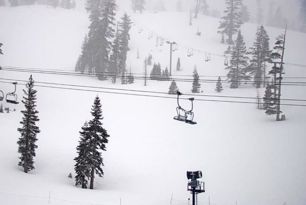
Snowfall Report:
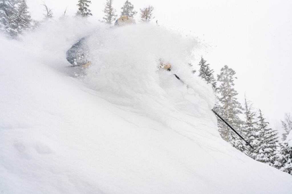
An additional 10 inches of snow fell Wednesday morning. That brought the 5-day storm totals to 68 inches! The season total is now at 607 inches with a lot more snow in the forecast!
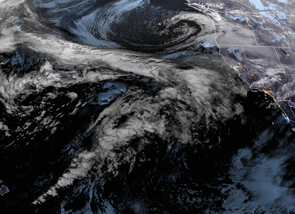
Thursday – Friday Night Storm:
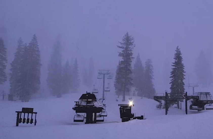
Thursday we will see increasing clouds and winds with highs in the 30s. Ridgetop winds from the southwest increase to 70-80+ mph by afternoon. Snow showers could move in by late morning with steadier snow in the afternoon with snow levels starting out near the base. We could see several inches by the end of the day.
Thursday night heavy rain and snow push in with rising snow levels. We expect heavy precipitation through Friday night. Strong winds over 100+ mph Friday will likely keep many lifts closed. Snow levels rise overnight to around 7500-8000 ft. Thursday night into Friday morning. Then falling Friday to around 6300-6800 ft. by late afternoon and near the base Friday night.
We expect heavy rain at the base up to 7000 ft. with this storm before changing to snow later Friday. There is a boom/bust zone for snowfall between 7000-8000 ft. depending on snow levels. Above 8000 ft. we should see mostly all snow. Here is the updated forecast for expected snowfall totals by Saturday morning.
- 5-11 inches at the base.
- 11-32 inches at mid-mountain elevations.
- 32-54+ inches on the upper mountain above 8000 feet.
Saturday – Sunday Rain & Snow:
The moisture continues to stream into the Sierra Saturday through Sunday night aided by another wave moving through. Winds should be lighter both days but still gusting up to 50-60+ mph up top from the west-southwest. Highs in the 30s.
Snow levels could fluctuate between the base and 6700 ft. through the 2-day period. That means some rain could mix with snow or change to rain at times near the base. Above 7000 ft. we should see mostly all snow but thicker snow, not the powdery snow we have been seeing. Here is the forecast for snowfall for Saturday through Sunday night.
- 12-18 inches at the base.
- 18-25 inches at mid-mountain elevations.
- 23-29+ inches on the upper mountain above 8000 feet.
Monday Wednesday Storm:
Snow showers should continue into Monday morning. Then another west storm moves in during the afternoon and lasts through Tuesday night, with showers possibly lasting into Wednesday before clearing by Wednesday night.
Winds will increase again on Monday with ridgetop gusts up to 60-70+ mph. Snow levels sill rise up to 7000-7500 ft. by Monday evening and possibly lasting through Tuesday afternoon. Tuesday night snow levels fall and could reach the base by early Wednesday morning.
We are expecting mostly rain at the base with this storm with some snow at the end. Another boom/bust scenario between 7000-8000 ft. with the fluctuating snow levels. Here is the forecast for additional snowfall expected on the mountain from Monday through Wednesday.
- 7-13 inches at the base.
- 13-41 inches at mid-mountain elevations.
- 41-49+ inches on the upper mountain above 8000 feet.
In total by Wednesday we could see 8-11 feet of new snow up top over the 7-day period. Below 8000 ft. we will see rain and snow going back and forth through the period. So the total snowfall will likely not match what is on the ground with the rain melting some of the snow as it mixes in.
Long-Range:
We could see a break next Thursday into Friday the 17th, but we could see more storms into the last week of March. More details as we get closer.
BA