Snowfall Report:
We only picked up a dusting of snow from the snow showers on Monday-Monday night. The storm fizzled so we saw the low end of the 0-4 inch forecast.
Tuesday – Wednesday:
Mostly sunny on both days with highs in the 30s.
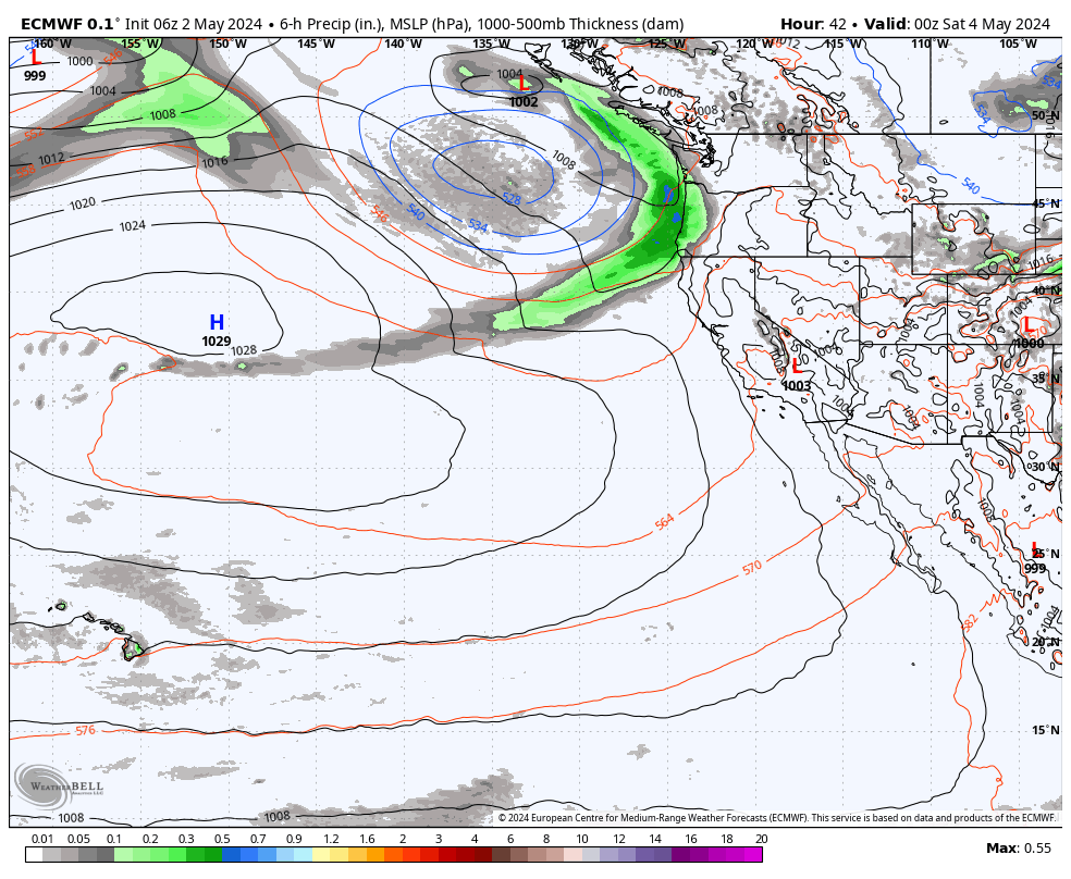
Thursday – Saturday Storm:
The storm will be slow to push across the Tahoe basin on and south on Thursday. We could see steady snow falling NW of the lake while it takes its time pushing southeast. However the slow movement and long duration are part of the formula for a big snowstorm. Low pressure will spin near the Pacific NW coast directing moisture and a few embedded waves into the Sierra through Saturday.
Very strong winds will increase Thursday with gusts over 100 mph over the ridges and 50-60 mph winds could mix down to the base through Friday. The winds should drop through the day on Saturday and then lighter winds are expected for Sunday. Highs in the 30s Thursday into Friday, with 20s for the upper mountains Friday. Then dropping into the 20s for the weekend.
Snow levels could start out near to just above the base Thursday morning, around 6200-6700 ft., but then falling to the base Thursday afternoon and continuing to drop throughout the storm. Snow ratios start lower Thursday, around 9-11:1 between 7000-8000 ft., and then increase through the storm, ending near 20:1 by Saturday.
It feels strange to put out snowfall forecasts this high since I don’t like to hype storms. I’m using averages which eliminates the highest snowfall forests on the models. Still, we could see 4-5+ feet near the base, 5-6+ feet near mid-mountain, and 6-7+ feet of snow in total on the upper mountain by Sunday morning!
The last time we saw a storm this big was around the same time last season, when 92 inches were reported for a 3-day total for 2/27 – 3/1. So we’ll have to see if we can rival that storm. Expect lift closures Thursday from the strong winds, and the mountain to possibly close on Friday, with a delayed opening Saturday as mountain ops digs out and performs avalanche controls.
Sunday – Tuesday Weather:
We’ll keep an eye on Sunday’s forecast to see if the snow showers could continue. It will be cold with highs in the 20s for the base and teens up top.
Then we should see clearing by Monday with mostly sunny skies again on Tuesday. Highs in the 30s for the lower elevations and 20s for the higher elevations.
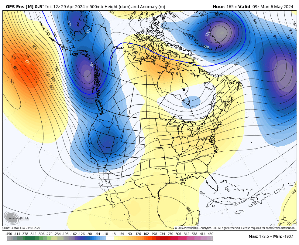
Long-Range Forecast:
The long-range models are in decent agreement in showing additional troughs digging through the West Coast through the long range. The next trough and storm could be around the 6th.
I’m not seeing any signs of a prolonged dry pattern. The long-range models show additional troughs swinging through northern CA through the 2nd week of March. They show near to slightly above-average precipitation through the 11th.
We will have to watch the trends for each storm to see how much moisture they could bring, but overall the chances for at least weak systems look to continue every few days through the long-range.
BA