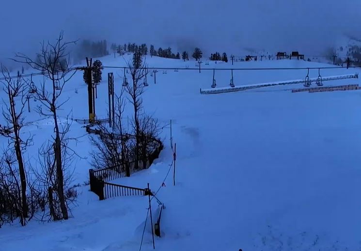
Snowfall Report:
We were expected rain to turn to snow overnight and 0-3 inches of snow by morning. We have overnight snowfall reports of 0 inches at the base as rain turned to snow early Thursday morning, and 4 inches up top.
Thursday – Friday Snow:
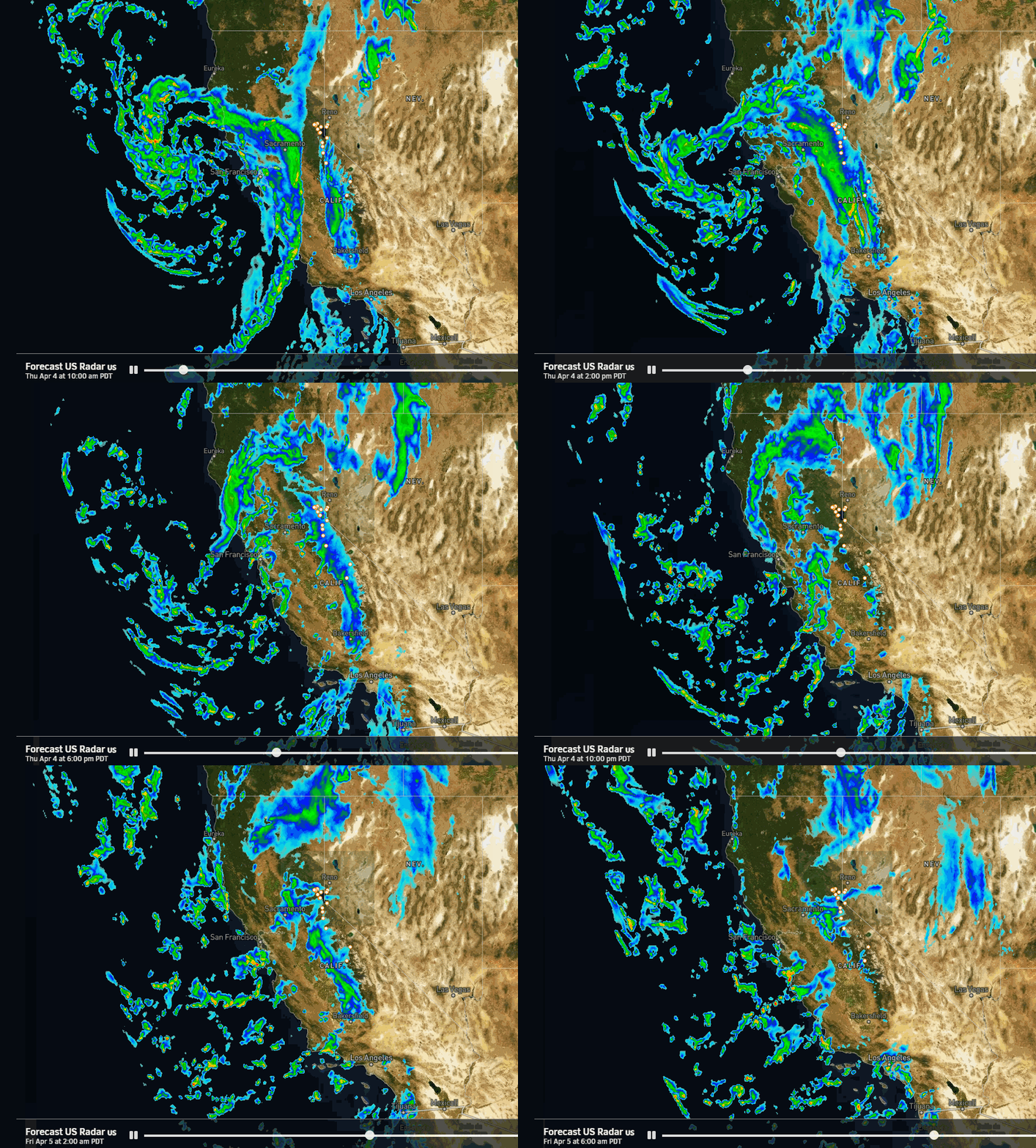
The initial cold front moved through Wednesday night and now we have a lull in the snowfall Thursday morning. The center of the low-pressure system that will bring more snow Thursday into Friday is spinning down the CA coast. It will move southeast through southern CA through Friday.
On the east side of the low, there will be a band of steadier precipitation that will push into the Sierra by Thursday afternoon. Gusty ridgetop winds will decrease into Thursday night. The snow becomes more scattered and showery Thursday night into Friday and then clears out Friday night. Highs in the 30s for the lower elevations and 20s for the upper elevations.
The snow levels will stay below the base for the rest of the storm. Snow ratios could average around 11-17:1 between the base and 9000 ft. That will bring some drier powdery snow to the upper mountain. By Friday night we could see additional snowfall amounts of around 2-5 inches at the base and 4-8 on the upper mountain, with around half of that falling by Thursday evening.
Saturday – Sunday Weather:
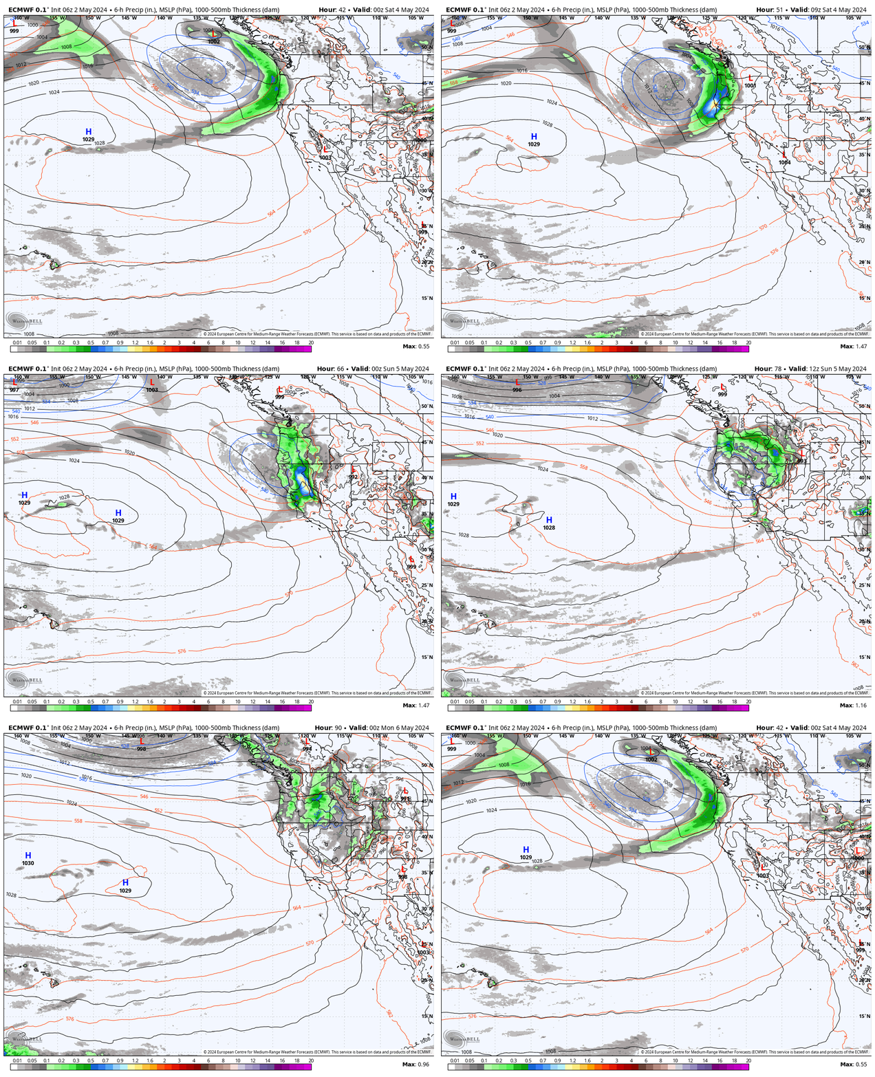
The forecast models over the last few days have trended drier and drier for the weekend but still keep the colder air around. We should see mostly sunny skies for Saturday with highs in the 30s. Then on Sunday partly sunny skies with highs in the 30s.
There’s a chance for scattered snow showers Sunday afternoon with the daytime heating and moisture from a weak system moving through.
Nice Spring Weather Returns:
High pressure builds in over the West Coast starting on Monday and continuing through next week. That will bring a drier and milder pattern to the region next week. Expect mostly sunny skies each day. Highs warming into the 40s on Monday and then 50s Tuesday and beyond. We could approach 60 degrees near the base by later next week.
Long-Range Forecast:
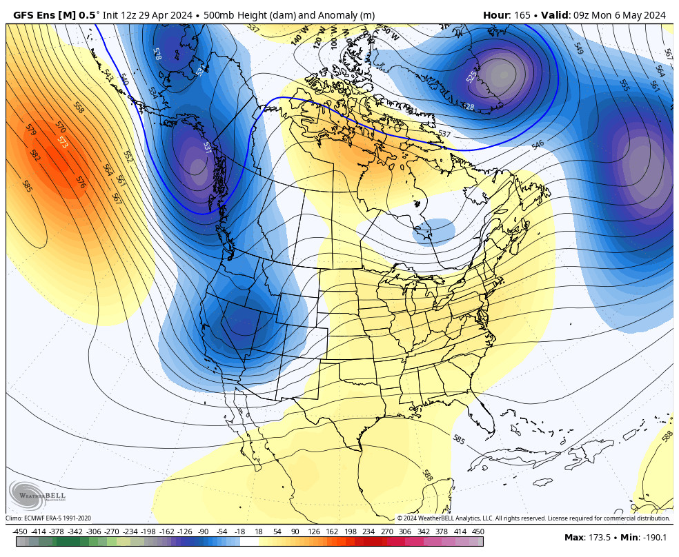
The long-range models continue to show weak troughing near the West Coast around mid-month as the ridge shifts east. We’ll have to see if that allows any weak systems to reach the northern Sierra between the 16th-18th, but I’m not convinced yet. It’s April when the jet stream and storms are weaker and any storms may fall apart as they run into the back of the ridge to our east.
Beyond the 18th the long-range models are showing high pressure building back in over the West Coast. We’ll have to see if the end of April into May will bring any late-season surprises…
BA

