Snowfall Report:
As expected with the rain changing to snow on the lower mountain Saturday night, the snowfall reports have a big range for snowfall over the past 24 hours from bottom to top. We saw up to 4 inches down to the village at Palisades and up to 14″ on the upper mountain. That brings the storm total to 15″ up top so far. So far the storm has performed as expected.
Sunday – Monday Snow:
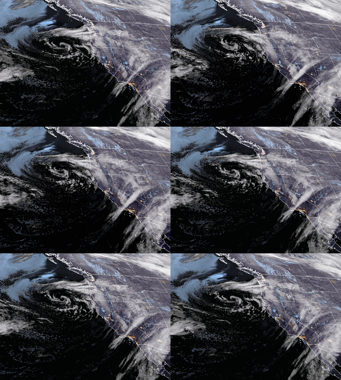
Waves of snow will rotate through Sunday and Monday a closed low spinning off the coast of CA moves through the region. Ridgetop winds from the SW still gusting up to 70-80+ mph at times Sunday which means possible wind holds at times for some lifts. Slower winds but still possibly gusting up to 50+ mph at times up top Monday. Highs in the 30s at the base and 20s up top both days.
There will be breaks at times between bands of snow showers moving through. The showers should become even more scattered and lighter Monday afternoon into Monday night. We should finally see the snow showers start to clear out Tuesday morning.
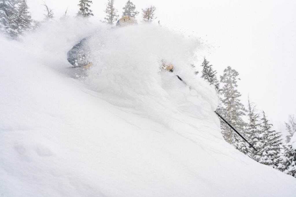
We could see 4-8″ of additional snowfall at the base by Monday morning and 5-10″ on the mountain. Then a final 1-3″ at the base by Tuesday morning and 2-5″ on the mountain. Colder air will continue to filter into the region through Monday with the snow becoming drier and more powdery as the storm continues. In total, an additional 7-15″ is possible from bottom to top on the mountain on top of the 4-15″ that has fallen so far.
Tuesday – Thursday:
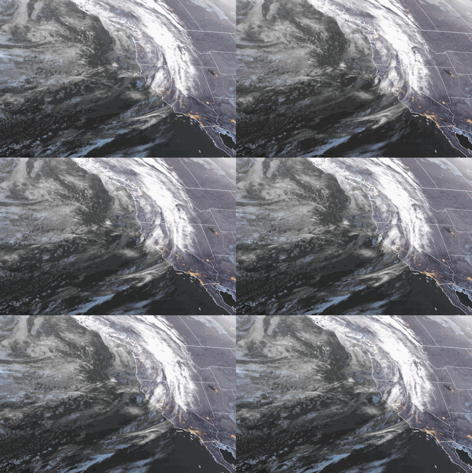
We should see mostly sunny skies by Tuesday afternoon through Thursday and cold with highs in the 30s at the base and 20s on the upper mountain. We should see lighter winds, at least through Wednesday. By Thursday afternoon the winds could pick back up ahead of the next storm by afternoon.
Long-Range:
The next storm could move into northern CA Friday. We will have more details on this storm all week. It looks fairly cold and should bring inches of snow and not feet.
Additional storms are possible the weekend of the 10th through mid-month. We’ll continue to watch the trends and keep you posted.
BA


