Skip to content
Palisades Tahoe Logo Palisades Tahoe Logo Palisades Tahoe Logo
Explore
Main Menu
  • Explore Palisades Tahoe
  • Base to Base Gondola
  • Our New Name
  • Explore Legendary Lifts
  • Palisades Tahoe Blog
  • About Lake Tahoe
  • About Us
Plan Your Visit
Main Menu
  • Tickets & Passes
  • Lodging
  • Lessons & Guides
  • Deals & Packages
  • Rentals & Demos
  • Travel Here
  • Getting Around
Mountain Information
Main Menu
  • Snow and Weather
  • Lift and Grooming Status
  • Webcams
  • Hours of Operation
  • Trail Maps
  • Parking & Road Conditions
  • Snowfall Tracker
Events & Activities
Main Menu
  • Events Calendar
  • Activities
  • Dining & Apres
  • Shopping
  • Things To Do In Lake Tahoe
  • Groups, Meetings & Weddings
  • Ski & Snowboard Teams
IKON PASS HOLDER LODGING DISCOUNT

Ikon Pass holders save up to 20% on slopeside lodging at The Village at Palisades Tahoe.

SLOPESIDE LODGING
Icon / FlashCreated with Sketch.
View All Offers
  • Weather

3 Inches of New Snow, A Bigger Storm Sunday

  • Dec 12, 2020
  • 8:30 am

Snowfall Report:

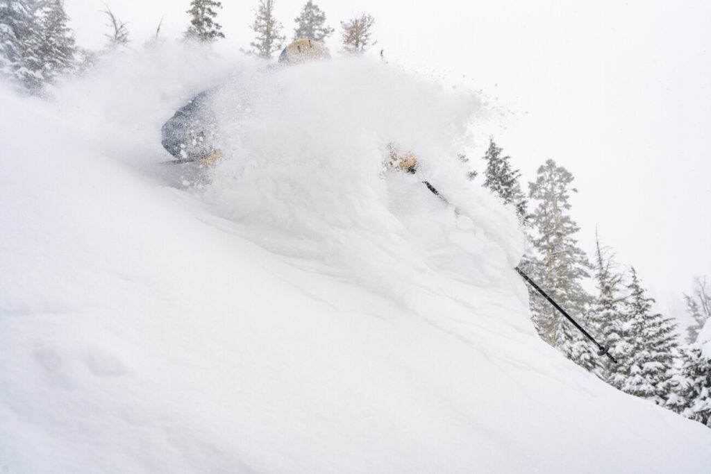
The storm that moved through Friday night hit a bit farther south than expected. We picked up 3 inches of new snow on the upper mountain and 1 inch at the base. The final forecast was for 2-5 inches at the base and 4-7 inches up top. So we came in 1 inch under, but we will take all the fresh snow we can get!

Saturday:

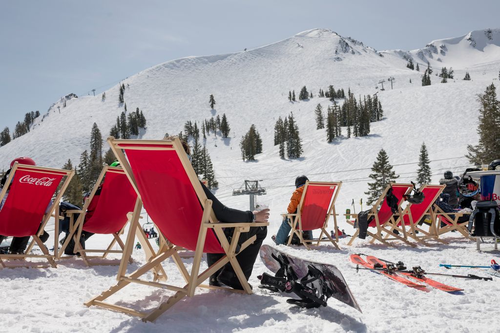
Ridgetop winds have dropped off this morning. Gusts should only be 30-40 mph through most of the day. Partly cloudy skies with clearing and sun by late morning/afternoon. Highs in the 30s.
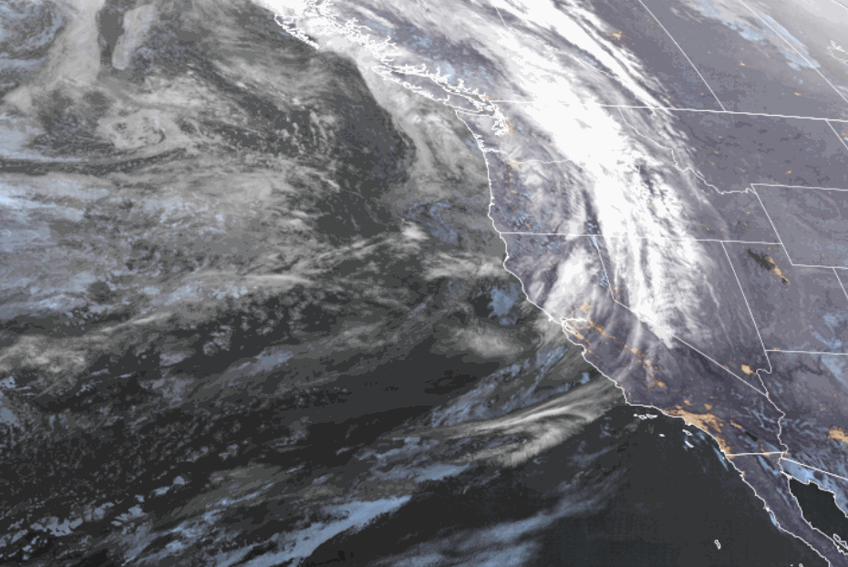
Sunday Storm:

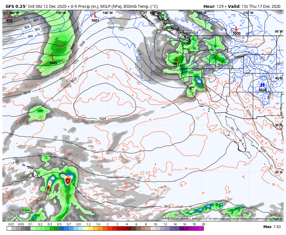
A cold front will move through Sunday bringing more snow and gusty winds. This storm is stronger than the Friday night storm. The heaviest precipitation may fall Sunday afternoon/evening with the passage of the cold front. Snow levels may start around 7000 ft. Sunday morning before falling through the day down to the base by afternoon. Snow showers behind the front Sunday night with powdery snow that ends by early Monday morning.

The latest model runs continue to trend a little wetter. We could see 3-6 inches at the base after rain changes to snow, 8-12 inches at mid-mountain, and 10-14 inches up top by Monday morning. Ridgetop winds increasing to 70+ mph Sunday, likely closing upper mountain lifts.

Monday – Wednesday:

Expecting clear skies Monday and partly cloudy for Tuesday and Wednesday as a system moves through well to the north. Lighter winds expected with ridgetop gusts around 30 mph. Highs in the 30s on the mountain to near 40 degrees at the base.

Long-Range:

Another storm moves in Thursday. The latest model runs suggest this system could be similar to the Sunday storm if it tracks far enough south. We will be tracking that all week. A 3rd system may bring more snow next weekend.

We may go into a drier pattern around the 23rd into Christmas week.

BA

snowfall forecast squaw snow Squaw Weather Forecast
Bryan Allegretto
Bryan Allegretto

Share this article:

Recent Posts

  • Weather ·
  • March 30, 2023·

Drier thru Saturday, Snow Showers Sun-Mon

Snowfall Report: An additional 2 inches of snow fell on the mountain Wednesday from the snow showers. That brings the…
Read more
  • Weather ·
  • March 29, 2023·

Partly Sunny Wed-Sun w/ Snow Showers Possible

Snowfall Reports: 12 inches of new snow fell on the mountain in the past 24 hours as of 5 AM…
Read more
  • Weather ·
  • March 28, 2023·

Snow & Strong Winds Tuesday

Tuesday  – Wednesday Storm: Snow showers are pushing in Tuesday morning, with heavier snow expected later in the morning into…
Read more

Social

Instagram Twitter Facebook Youtube

Contact

   Email Us
   1.800.403.0206

Our Partners

U.S. Forest Service Logo
1960 Olympic Valley Road
Olympic Valley, CA 96146

©2022 Palisades Tahoe

Alterra Mountain Company
  • Privacy Policy
  • Terms of Service
  • Photo Upload Terms of Use
  • Accessibility
  • Do Not Sell My Personal Information
  • Privacy Policy
  • Terms of Service
  • Photo Upload Terms of Use
  • Accessibility
  • Do Not Sell My Personal Information