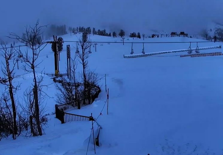
Skip to content
Palisades Tahoe Logo Palisades Tahoe Logo Palisades Tahoe Logo
Explore
Main Menu
  • Explore Palisades Tahoe
  • Base to Base Gondola
  • Our New Name
  • Explore Legendary Lifts
  • Palisades Tahoe Blog
  • About Lake Tahoe
  • About Us
Plan Your Visit
Main Menu
  • Tickets & Passes
  • Lodging
  • Lessons & Guides
  • Deals & Packages
  • Rentals & Demos
  • Travel Here
  • Getting Around
Mountain Information
Main Menu
  • Snow and Weather
  • Lift and Grooming Status
  • Webcams
  • Hours of Operation
  • Trail Maps
  • Parking & Road Conditions
  • Snowfall Tracker
Events & Activities
Main Menu
  • Events Calendar
  • Activities
  • Dining & Apres
  • Shopping
  • Things To Do In Lake Tahoe
  • Groups, Meetings & Weddings
  • Ski & Snowboard Teams
IKON PASS HOLDER LODGING DISCOUNT

Ikon Pass holders save up to 20% on slopeside lodging at The Village at Palisades Tahoe.

SLOPESIDE LODGING
Icon / FlashCreated with Sketch.
View All Offers
  • Weather

3 Inches of Fresh with Snow Showers

  • Feb 11, 2023
  • 8:06 am

Snowfall Report

We have seen 1-3 inches of new snow so far from this system as of 6 AM Saturday morning, with snow showers continuing to fall.

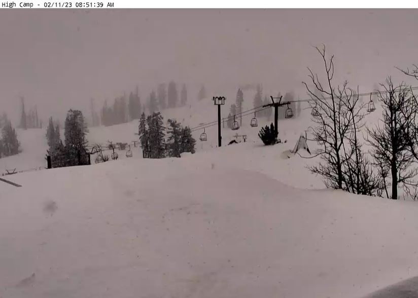
Saturday Snow Showers:

A final band of snow moves through Saturday morning from east to west across the Tahoe basin. We could see an additional 1-2 inches of snow by midday as the band weakens and clears to the south. Morning temperatures are in the 20s and will warm into the 30s for highs Saturday as the skies clear into the afternoon and we see some sun.

The east winds will ramp up with ridgetop gusts up to 40-50+ mph by the afternoon. That will make it feel colder and could affect a few upper mountain lifts.

Sunday – Monday:

Sunday into Monday the weather will be dry with mostly sunny skies on both days. Highs warming into the 40s. Ridgetop winds from the east continue Sunday but with gusts only up to 30-40+ mph. Then turning to the west Monday.

The winds start out light on Monday but are forecast to ramp up significantly through the day as a strong cold front approaches the region from the north. Ridgetop gusts could be up to 70-80+ mph by the end of the day. That could close some upper mountain lifts before the end of the ski day on Monday.

Tuesday – Wednesday Cold Front:

A cold trough digs in from the north Monday night into Tuesday. We could see a few snow showers with the cold front later Monday night into Tuesday. Highs drop into the 20s Tuesday into Wednesday. The latest model runs show very light precip with the possible snow showers Tuesday.

We could see a dusting up to an inch or two of new snow with the snow showers. We will likely see a mix of sun and clouds Tuesday with scattered snow showers, and then mostly sunny and cold Wednesday. The winds become lighter Tuesday into Wednesday.

Long Range:

By Thursday weak high pressure is over CA with mostly sunny skies and highs into the 30s. Then by Friday, the long-range models agree that a splitting trough will dig down the West Coast. A cut-off low is forecast to form off the coast and to drop south far enough off the coast to keep us dry through President’s Weekend. We could see mostly sunny skies through Sunday the 19th with highs into the 30s.

By Day 10 the long-range models suggest that another cold trough could dig south into the West, and could possibly brush us with a few snow showers on President’s Day the 20th. Then another trough could dig south farther to the west over the West Coast around Wednesday the 22nd into Thursday the 23rd.

That trough could stay in place through the weekend of the 24th-27th, which could allow enough time for a wetter storm or two to dive into the trough and spin up off the coast picking up some Pacific moisture. That weekend is the World Cup at Palisades Tahoe, and we don’t want a big snowstorm for those events, so we’ll be watching the forecast closely.

BA

lake tahoe weather palisades tahoe weather forecast snowfall forecast
Bryan Allegretto
Bryan Allegretto

Share this article:

Recent Posts

  • Weather ·
  • March 24, 2023·

Drier w/ Spotty Snow Showers thru Sunday

Snowfall Report: 3-5 inches of new snow fell on the mountain, from the base to the upper mountain, in the…
Read more
  • Weather ·
  • March 23, 2023·

Snow Thursday, Drier for the Weekend

Snowfall Report: An additional 2 inches of snow fell on the mountain in the past 24 hours as of 5…
Read more
  • Weather ·
  • March 22, 2023·

Scattered Snow Showers Continue

Snowfall Report: We were expecting 1-4 inches to fall Tuesday-Tuesday night. We picked up the lower end of the forecast…
Read more

Social

Instagram Twitter Facebook Youtube

Contact

   Email Us
   1.800.403.0206

Our Partners

U.S. Forest Service Logo
1960 Olympic Valley Road
Olympic Valley, CA 96146

©2022 Palisades Tahoe

Alterra Mountain Company
  • Privacy Policy
  • Terms of Service
  • Photo Upload Terms of Use
  • Accessibility
  • Do Not Sell My Personal Information
  • Privacy Policy
  • Terms of Service
  • Photo Upload Terms of Use
  • Accessibility
  • Do Not Sell My Personal Information