Snowfall Reports:
We saw a warm storm on Saturday with some rain at the base and 1-6 inches of wet snow. We knew that snow levels would be rising up to between 6200-6800 ft. Saturday afternoon and my forecast was only for 2-9 inches from the base up to 7000 ft., so no big surprises.
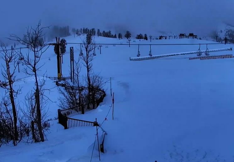
The forecast for the upper mountain was for 9-17 inches of snow, and we picked up the high end with 17 inches of new snow falling on the upper mountain in the past 24 hours as of Sunday morning! That brings the season total to 101 inches so far.
Sunday – Tuesday:
We have some scattered snow showers still around early Sunday morning. We will clear through the day with mostly sunny skies expected by afternoon. Highs into the 30s. The ridgetop winds are still a little gusty early Sunday but will continue to fall through the day.
Monday we will have mostly sunny skies with highs into the 30s for the upper elevations and 40s for the lower elevations near the base as high pressure strengthens over CA.
Tuesday will start with some sun and similar temperatures, but then increasing clouds later in the day ahead of the next storm. Ridgetop winds increasing with gusts up to 50-60+ mph by the end of the day.
Tuesday Night – Wednesday Storm:
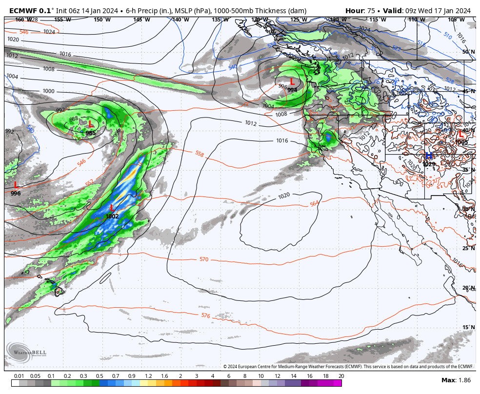
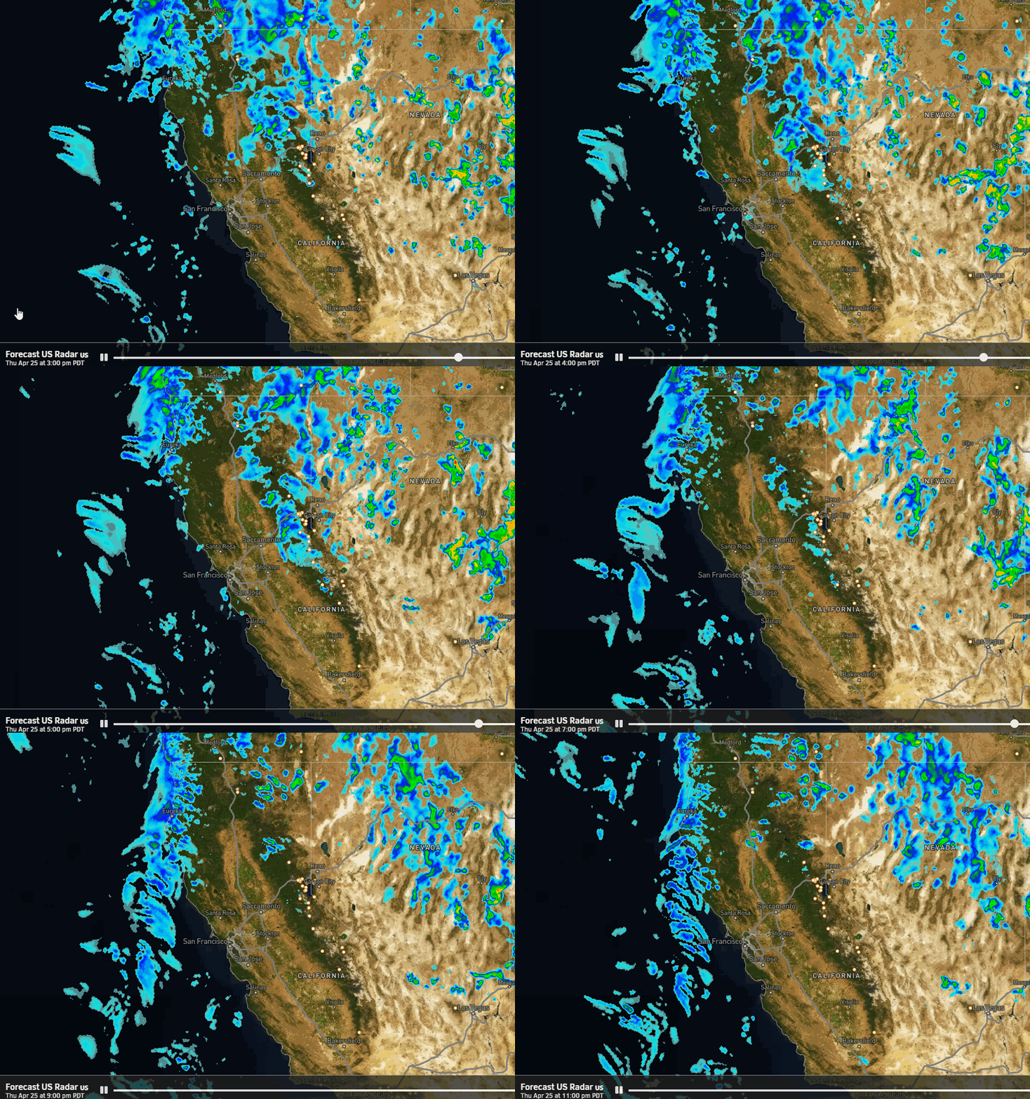
The latest model runs have trended wetter with the next storm, but also warmer. We could see showers reach the northern Sierra by late afternoon/evening Tuesday, with steadier rain moving in overnight. It’s a fast-moving storm and the storm could clear out by midday Wednesday.
Snow levels on the latest model runs are up around 8500-9000 ft. as the rain moves in Tuesday evening. Then falling slowly into Wednesday morning, but only bottoming out around 6800 – 7300 ft. by the end. Most of the precipitation is expected to fall Tuesday night while snow levels are above 7300 ft.
It looks like a rainstorm at the base and the lower mountain. Most of the snow looks to fall above 7500 ft. where we could see 1-5 inches of wet snow fall by Wednesday morning.
Thursday – Friday:
We clear out later Wednesday, and then partly-mostly sunny skies are expected for Thursday and Friday. Highs into the 40s for the lower elevations and 30s for the upper elevations.
Long-Range Forecast:
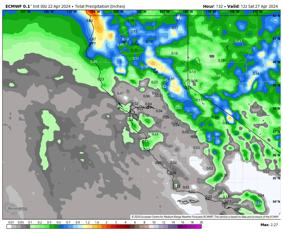
The long-range models continue to show a pattern shift next weekend with troughing pushing into the West Coast. That should open the door to storms pushing into CA starting around Saturday and possibly continuing through at least the 23rd.
We will continue to watch the trends all week to see how strong/wet the storms could be. That is still up in the air. Early estimates show snow levels generally around 7000 ft. through the period, with milder storms continuing, but that could change if we see a stronger storm pulling some colder air.
The active pattern may be short-lived and only last around 4-5 days before high pressure takes over again during the last several days of January. That could end the month on a dry and mild note. We’ll continue to watch the trends on that as well.
BA

