Skip to content
palisades tahoe
Explore
Main Menu
  • Explore Palisades Tahoe
  • Discover Palisades Tahoe
  • Our Name Change
  • Explore Legendary Lifts
  • Palisades Tahoe Blog
  • About Lake Tahoe
  • Mountain Safety
Plan Your Visit
Main Menu
  • Lodging
  • Tickets & Passes
  • Lessons & Guides
  • Deals & Packages
  • Rentals & Demos
  • Travel Here
  • Ikon Pass Benefits
Mountain Information
Main Menu
  • Weather
  • Lift Status
  • Webcams
  • Hours of Operation
  • Trail Maps
  • Parking & Road Conditions
  • Snowfall Tracker
Events & Activities
Main Menu
  • Aerial Tram
  • Events Calendar
  • Activities
  • Dining & Apres
  • Shopping
  • Groups, Meetings & Weddings
  • Ski & Snowboard Teams
Summer High Camp Tram with wildflowers.
Basecamp for Lake Tahoe
Palisades Tahoe is the beating heart of Lake Tahoe adventure. Plan your trip with us today.
PLAN YOUR VISIT
Icon / FlashCreated with Sketch.
View All Offers

16 Inches So Far, The Snow Continues Wednesday

  • By Bryan Allegretto
  • Weather
  • Nov 18, 2020
Squaw Valley Employee at Gold Coast checking out the new snow
Checking out the new snow at Gold Coast. Photo: Kate Abraham

Snowfall Report:

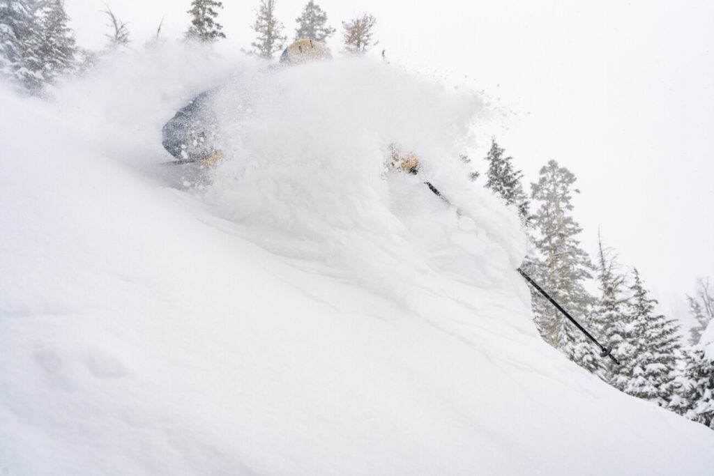
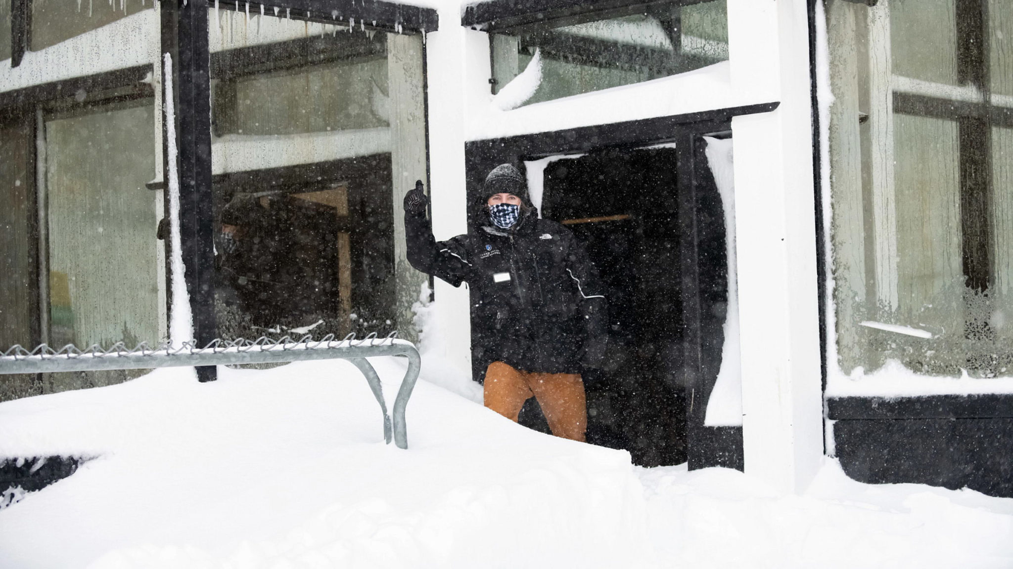
The mountain received 7 inches at the base and 16 inches up top overnight Tuesday night. A nice thick base building snow to add to the early season base!
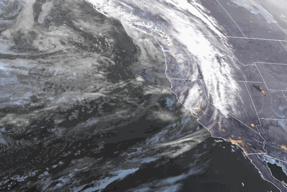
Wednesday Storm:

Heavy precipitation is expected Wednesday morning before become more showery Wednesday afternoon/evening. Then ending Wednesday night. Snow levels continuing to hover around 6500-7000 ft. That is just above the base of the mountain. Ridgetop winds gusting to 60+ mph through the day.

We may just see rain near the base Wednesday. We will have to see if the heavy precip can drag snow levels to the base long enough for a few additional inches of slushy accumulations. Just above the base, we could see 1-7 inches of snow as you head up towards mid-mtn. At mid-mtn, we could see 7-12 inches of additional snowfall and 9-13 inches on for the upper mountain. 
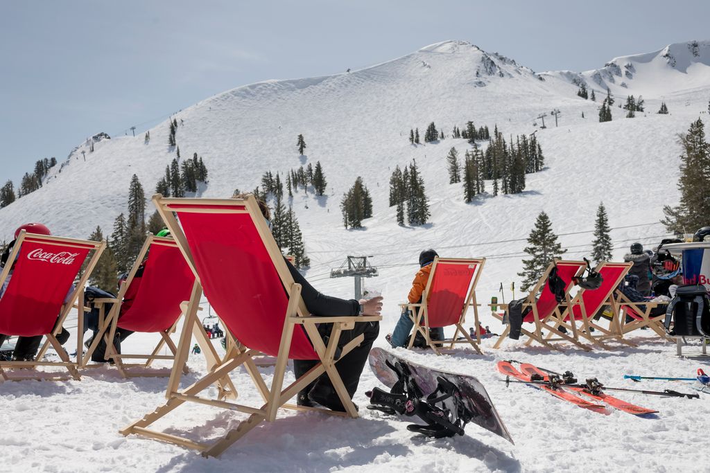
Thursday – Sunday:

It looks like we will see drier weather Thursday through the weekend, with highs in the 30s behind the midweek system. Warming into the 40s at the base Sat-Sun. Winds should be lighter as well by Thursday afternoon through the weekend. Overnight lows will be cold enough for continued snowmaking.

Long-Range:

The latest long-range model runs are showing drier weather remaining in place through at least Tuesday. Highs remaining in the 30s on the upper mountain and 40s at the base.

The long-range models are showing more troughs digging into the West Coast later next week through the end of November. That could bring the chance for additional systems to dig into CA. The question will be, can they dig far enough south to bring light snow to Squaw Valley Thanksgiving week? The best chance looks to be the weekend of the 28th.

We will keep an eye on that and fine-tune the details of any potential storms as they get closer.

BA

Share this article
Picture of Bryan Allegretto
Bryan Allegretto

Recent Posts

  • Weather ·
  • April 30, 2025·

Weekend Snow Showers Possible

There is a chance for high elevation snow showers for the first weekend of May. The mountain is aiming to…
Read more
  • Weather ·
  • April 28, 2025·

11 Inch Weekend Snowfall Total!

Snowfall Report: The weekend storm brought snow down to the base as we expected. We saw several inches accumulate on…
Read more
  • Weather ·
  • April 24, 2025·

Winter’s Quick Return

All of the focus this week is on winter’s last gasps over the weekend, as snow showers and low snow…
Read more

Social

Instagram Twitter Facebook Youtube

Contact

   Email Us
   1.800.403.0206

Our Partners

U.S. Forest Service Logo
1960 Olympic Valley Road
Olympic Valley, CA 96146

©2025 Palisades Tahoe

Alterra Mountain Company
  • Privacy Policy
  • Terms of Service
  • Photo Upload Terms of Use
  • Accessibility
  • Do Not Sell My Personal Information
  • Privacy Policy
  • Terms of Service
  • Photo Upload Terms of Use
  • Accessibility
  • Do Not Sell My Personal Information