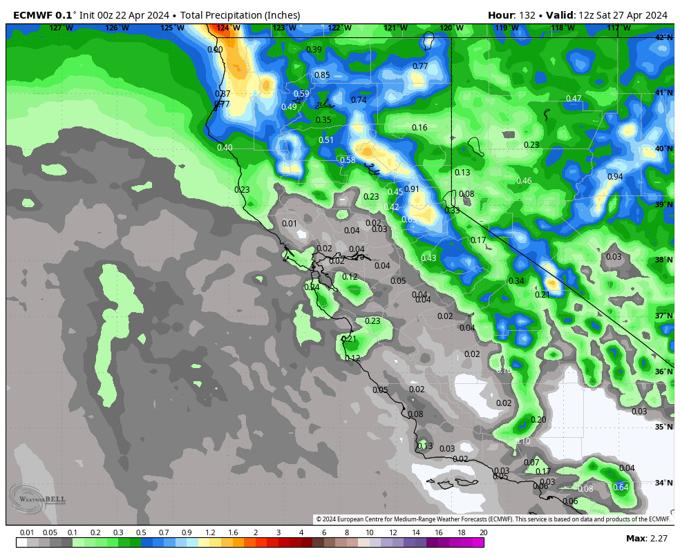
Snowfall Report:
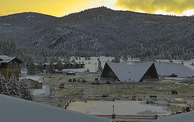
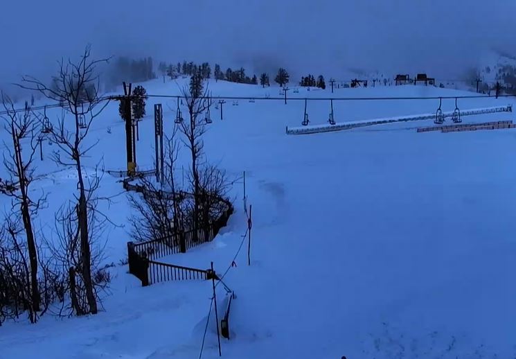
The cold front delivered Friday night as 15 inches fell on the upper mountain! We started with a little rain at the base that turned to snow and dropped 5 inches as of Saturday morning.
Saturday – Saturday Night Snow Showers:
We have a bit of a lull in the snow Saturday morning behind the cold front as we expected. Low pressure spinning near the coast will move inland through Sunday which will bring an increase in moisture and snow showers Saturday afternoon into Sunday morning.
Highs in the 30s for the lower elevations on Saturday and 20s for the upper elevations above 8000 ft. Ridgetop winds gusting up to 40-50+ mph from the west. Snow levels stay below the base on Saturday.
We could see an additional 2-5 inches of snow near the base and 3-7 inches on the mountain by Sunday morning.
Sunday – Tuesday Weather:
Scattered snow showers are expected to continue Sunday, especially in the morning, before clearing out by Sunday night. Lighter winds with highs in the 30s. We could see a final dusting up to an inch or two of snow on the mountains.
A weak system brushes us on Monday. We should see partly sunny skies along with a few scattered snow showers possible. Highs in the 30s.
Tuesday we have a break between storms with mostly sunny skies expected. Highs into the 30s on the upper mountain and 40s for the lower elevations near the base.
Wednesday – Thursday Storm:
The next storm’s timing, snow levels, and snowfall could be similar to what we just saw Friday night. We will see increasing winds and clouds on Wednesday with ridgetop winds gusting up to 70-80+ mph by the end of the day, which should close some upper mountain ski lifts.
Then the cold front associated with the next storm sweeps through with a band of heavier precipitation Wednesday night. The latest model runs show most of the precipitation falling overnight and only scattered snow showers behind the front for Thursday. Highs in the 30s on the mountain and 40s at the base on Wednesday, and highs in the 30s on Thursday.
Snow levels start high again, up around 6800-7300 ft, and then fall overnight down to around 4000-4500 ft. by Thursday morning. Very similar to what we just saw Friday night. A little rain to start at the base and low snow ratios until the cold front sweeps through increasing snow ratios early Thursday morning.
Total snowfall by Friday morning could be around 4-8 inches at the base, 8-13 inches near mid-mountain, and 11-16 inches up top. Most of that is expected to fall by Thursday morning.
Friday – Saturday Storm:
The latest trends with the final storm approaching the West Coast on Friday is for it to drop south down the CA coast, possibly brushing us on the east side instead of a direct hit.
We’ll continue to watch the trends with this storm all week. If it drops down the coast then we may see very little if any additional snowfall Friday into next Saturday the 30th.
Long-Range Forecast:
The long-range models continue to show high-pressure building in behind that storm for the last day of March into the first few days of April. That should bring a drier pattern to start the month and slightly milder temperatures.
Beyond the 3rd of April, the long-range models continue to show the ridge back off the coast with a trough over the West. That should keep the cooler air around through the first week of April and possibly into the 2nd week. It would also open the door to storms, but it’s April and storms are typically much weaker.
We’ll continue to watch the trends on the pattern and any storms that show up for April.
BA

